Tuesday severe threat
COLUMBUS, Mississippi (WCBI) – Severe storm potential heading our way Tuesday. Cooler and drier once the system moves out.
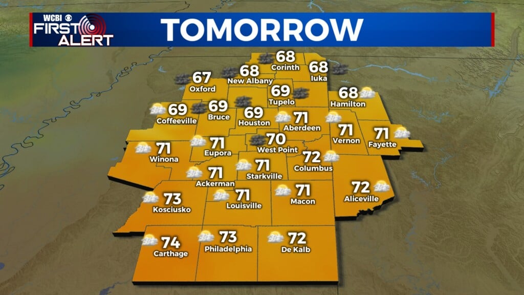
MONDAY NIGHT: Another muggy night. Overnight temperatures maintain in the middle 70s. Heavy clouds will work on filling back in across the state.
TUESDAY MORNING: There is a Level 3 out 5 risk for severe weather on our Tuesday. Throughout the morning, there is a chance for strong to severe storms from 2A-8A across our northern counties. Damaging wind and hail will the primary concerns for any cells that become severe strength. Isolated showers and storms will continue across central and northern Mississippi, as the approaching strong cold moves in from the NW.
TUESDAY EVENING: Late Tuesday afternoon, there is potential for pre-frontal development. The main line of storms is expected to move through NE MS and western AL from 5PM to 12AM. Damaging wind and tornadoes will be the main concerns, followed by hail. There is a higher threat for significant tornadoes across the corner. Make sure to have multiple ways of receiving watches and warnings. Stay safe!
END OF WEEK: Once the front moves East, cooler and drier air will quickly be moving in. Temperatures will gradually get cooler through the second half of the week, only reaching the middle 70s by Friday. Overnight lows will get more comfortable too, dropping into the 50s!


