Two fronts on the way, but not much rain
COLUMBUS, Mississippi (WCBI) – Despite two fronts in the next several days, only limited opportunity exists for rain.
THURSDAY: Expect a mixture of clouds and sun through the day with spotty, brief showers possible. Highs should reach the mid to upper 70s despite increased intervals of cloud cover.
THURSDAY NIGHT: As colder air aloft works in toward sunset, a few briefly heavier showers and possibly a storm could break out across northeastern MS. We still expect coverage to stay relatively isolated, but hopefully a few spots get a quick quarter inch of rain!
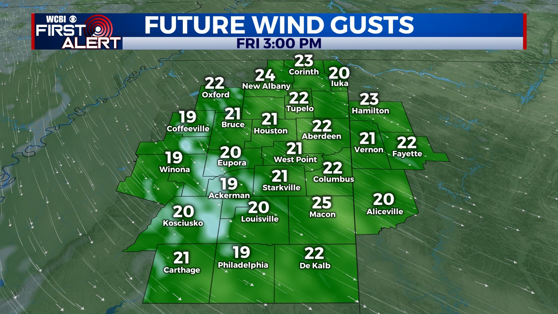
FRIDAY: The sky should be rapidly clearing during the early morning, leaving the rest of the day mostly sunny, warm, and breezy. Since Thursday’s front is of Pacific origin, temperatures won’t fall much…in fact, we expect highs near 80°!
WEEKEND: Another front looks to pass through Saturday night but with limited to no moisture. This will translate to an even warmer day Saturday before the front passes; highs should reach the middle 80s. Behind the front, fall returns for Sunday as highs drop back into the middle 70s.
NEXT WEEK: The overall upper-air pattern looks a bit more energized across the country; unfortunately, most of MS will not capitalize just yet. Just above normal temps are expected through Wednesday with no rain.


