Unsettled mid-week, rain chances return
COLUMBUS, Mississippi (WCBI) – We’ll have one more warm day Tuesday before slightly cooler air and rain chances arrive mid-week.
TUESDAY: A stalling front settles into the region today, paving the way for increased rain chances later in the week. Sun & clouds highlight the forecast today with highs in the upper 70s to lower 80s. A spotty shower is possible…mainly south of US 82.
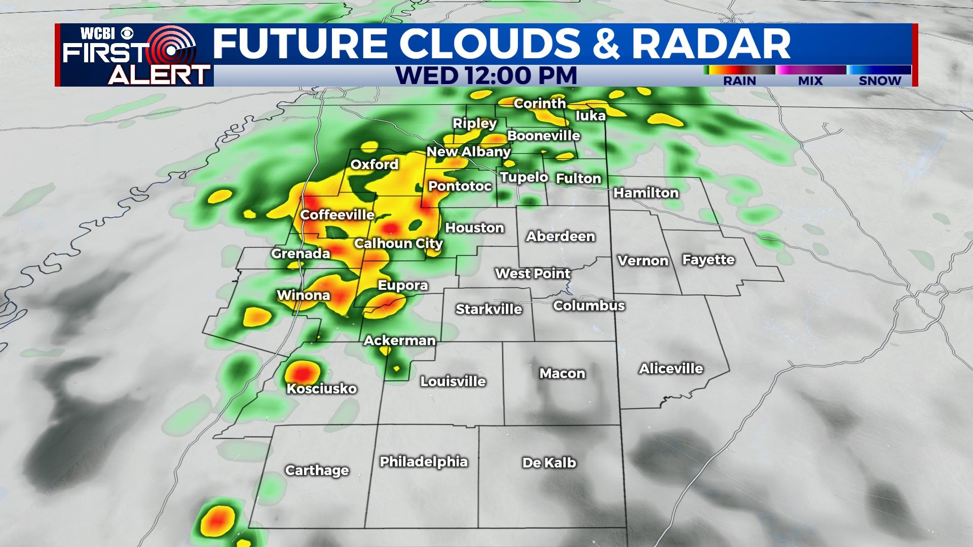
WEDNESDAY/THURSDAY: The first in a series of rain chances arrives during the day Wednesday. Widespread rain in Arkansas will develop east along the stalled front, becoming scattered into north/central MS during the day Wednesday. Scattered showers stay possible Wednesday night into Thursday as the stalled front remains nearby. A few storms are possible Thursday afternoon if sufficient instability materializes. Highs will stay in the 60s both days.
FRIDAY: A stronger area of low pressure & cold front will bring more rain to the region early Friday. Friday afternoon & evening are looking dry and increasingly chilly as temperatures drop into the 40s.
WEEKEND: Saturday still looks quite nice with lots of sun and highs in the 60s. Yet another system moves in Sunday, bringing scattered showers and storms by afternoon.