Waiting on stronger front Friday night
COLUMBUS, Mississippi (WCBI) – Scattered showers stay possible Thursday. A break in the humidity is still on the way for most of the weekend!
WEDNESDAY NIGHT: Evening showers should weaken overnight, leaving a partly to mostly cloudy sky with lows in the lower 60s. Some patchy fog is also possible.
THURSDAY: Expect a variably cloudy sky with intervals of sun. Highs should top out in the lower to possibly middle 80s with scattered showers and an isolated storm or two in the afternoon.
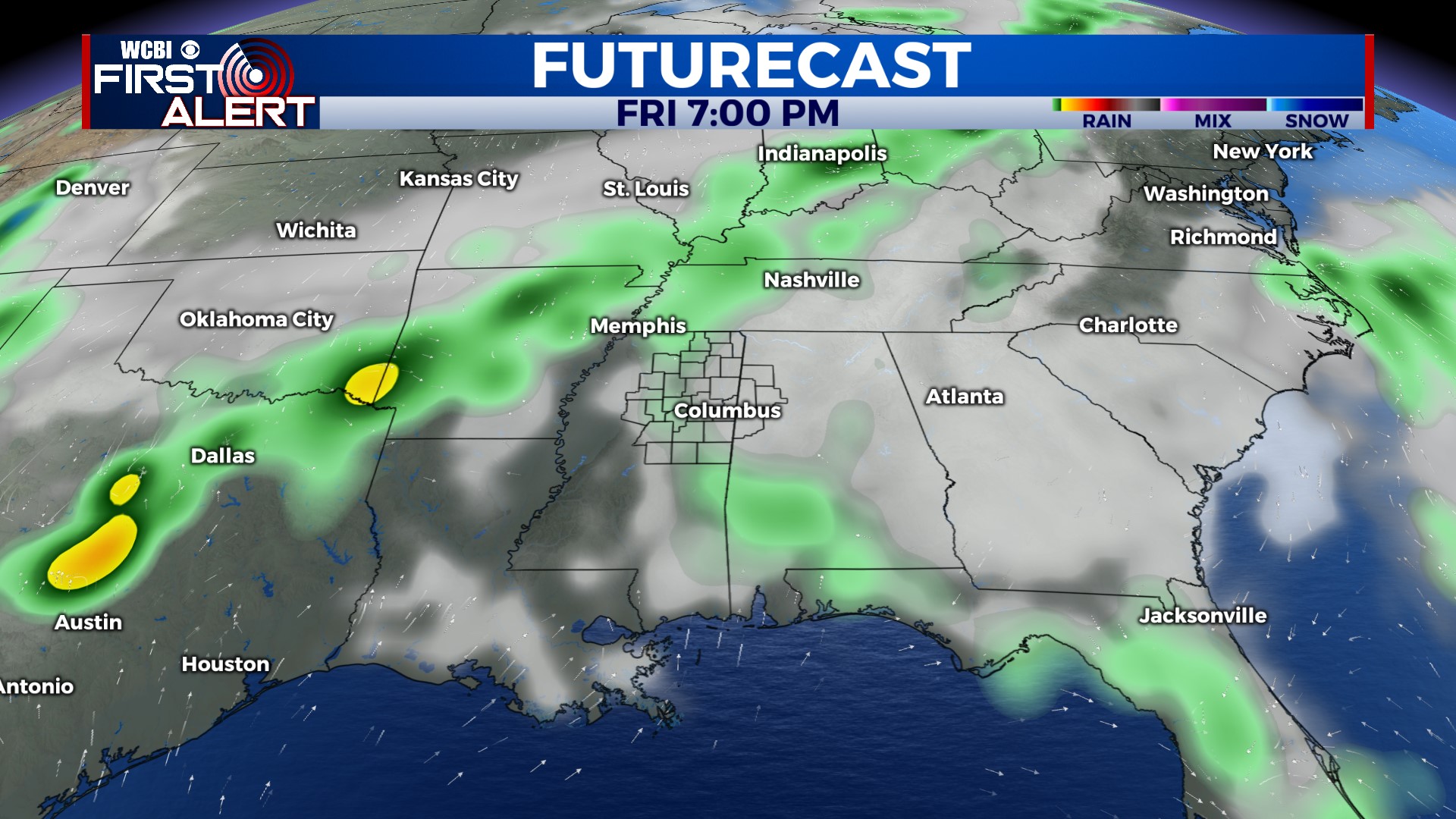
FRIDAY: Mostly dry weather is on tap ahead of a stronger front due to arrive late Friday evening. While a spotty shower or two is possible, the higher chances of rain will hold off until overnight into Saturday.
WEEKEND: Rain chances ramp up into Saturday morning but should gradually decrease after lunch. Clouds may be slow to clear, but eventual clearing is expected as welcomed drier air moves in from the north. In fact, low temperatures could drop into the middle 50s by Sunday morning. Lots of sun will highlight Sunday’s weather as highs reach the lower 80s.
NEXT WEEK: Mostly dry weather starts off the week with slightly below average temperatures for mid to late May.


