Warm and breezy Monday, stormy mid-week lies ahead
COLUMBUS, Mississippi (WCBI) – The weather looks to stay quite warm most of this week. Storms become possible Wednesday & Thursday.
MONDAY: Variable cloudiness is expected today as a front passes through the region. Forcing is limited, so just isolated showers are expected. However, it will be plenty windy at times with wind gusts 25-35 mph…and a wind advisory is in effect for the entire region. Highs should top out in the upper 70s.
TUESDAY: This looks to be the best weather day of the week with lots of sunshine and highs in the upper 70s – still feeling like spring.
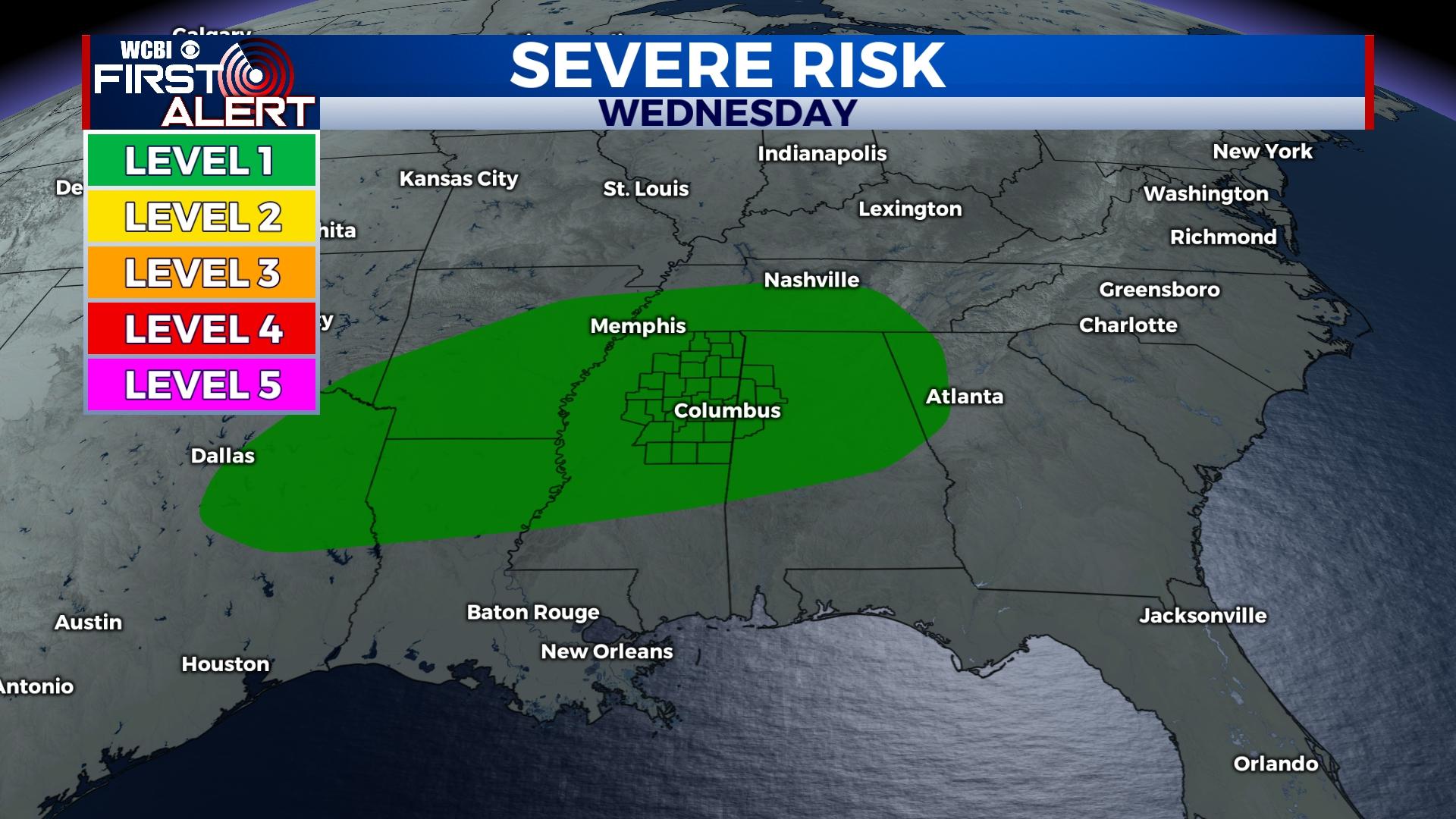
WEDNESDAY: The weather stays just as warm but with increased moisture. This increased warmth & humidity could lead to scattered, potentially strong storms developing in the afternoon and evening hours. The most likely area for this looks to be north of US 82, and these storms will need to be watched for severe weather as well.
THURSDAY/FRIDAY: A much stronger system is still in the pipeline to move in by Thursday afternoon & evening into early Friday. Before it arrives, an initially stationary front will likely have ongoing showers and storms across parts of northern MS during the day. These could potentially be severe at times thanks to favorable ingredients already in place. As the parent area of low pressure & cold front approach Thursday night, showers and strong to severe storms could erupt across most of the state. At this point, all modes of severe weather are possible, including the risk of tornadoes. Most storms will exit Friday morning, and we’ll have a mostly quiet and breezy Friday afternoon.
WEEKEND: More seasonable early March weather settles in Saturday and Sunday. Highs will be near 60 degrees both days with overnight lows in the 30s.


