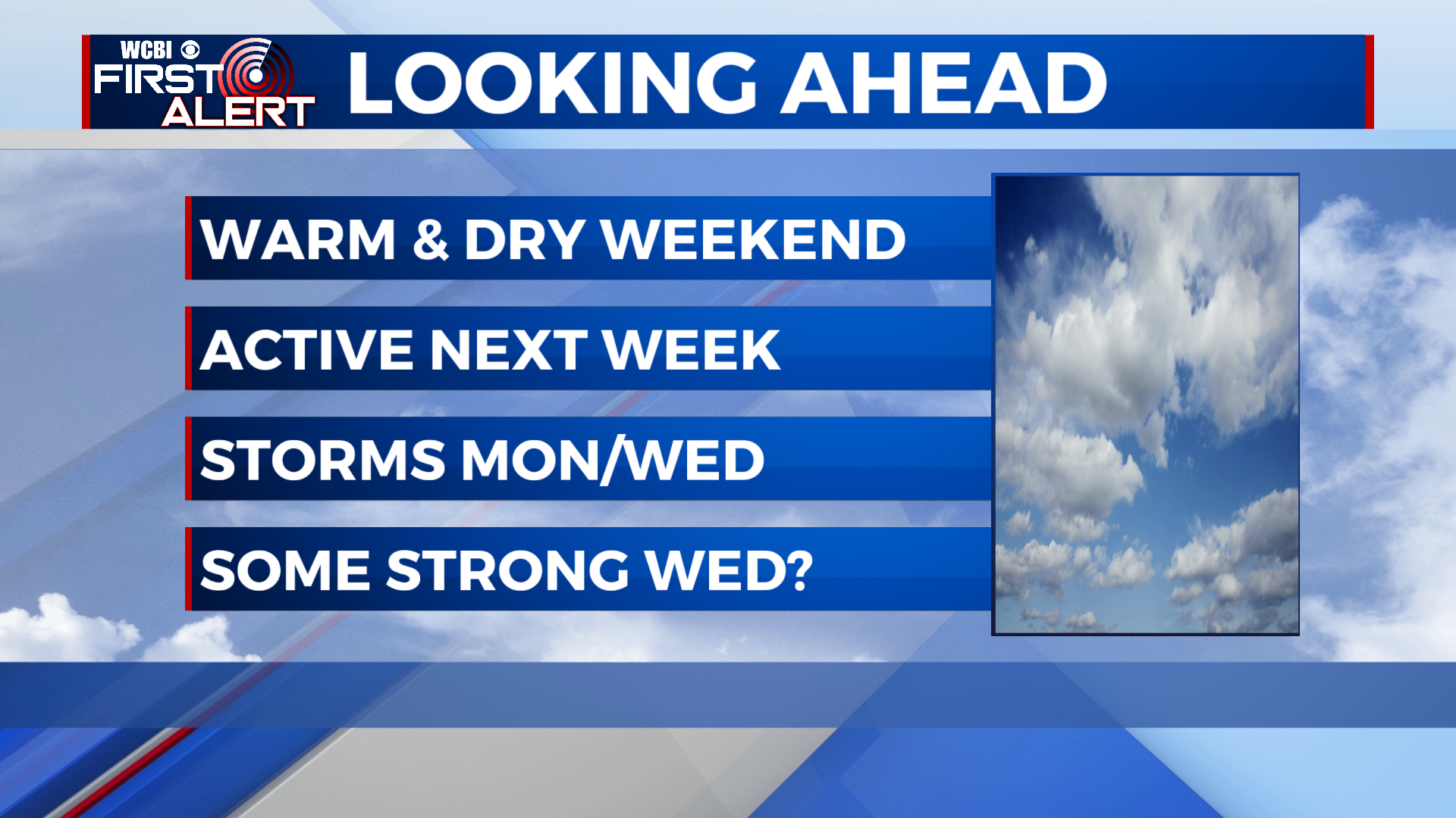
Warm and dry weekend, unsettled next week
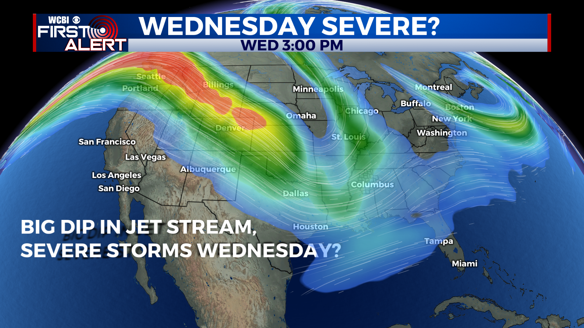
SUMMARY: This weekend, humidity and unseasonable warmth look to return to the area ahead of a cold front. As the front moves through Monday, we will likely see some scattered showers and storms. Temps cool back down a bit for the latter part of the week, with another much stronger front moving through Wednesday night. This front could bring the first big fall severe weather risk of 2021, so we’ll be watching closely. Much cooler and drier air looks to follow for the end of next week.
FRIDAY NIGHT: Friday night is looking very nice, with lows in the upper 40s to near 50 degrees under clear skies. Bring that jacket if you plan to be outside!
SATURDAY: A beautiful and sunny day in store for Saturday, with highs returning to the upper 70s to near 80 degrees. The air will still be dry, so it should feel great.
SATURDAY NIGHT: Moisture begins to return to the area Saturday night, with a warmer night in the upper 50s, potentially with some clouds moving in later in the night.
SUNDAY: Warmer and much more humid for Sunday, with partly cloudy skies and a high in the low 80s. Things should stay dry through Sunday evening.
NEW WORK WEEK: The first of 2 cold fronts next week moves through Monday, bringing with it a few scattered showers and storms. Temps cool a bit for Tuesday back into the upper 70s. Wednesday, a much stronger front approaches the area, and already it’s looking like there could be a severe weather risk for MS/AL, especially south of US-82. We’ll be better able to refine the forecast this weekend, but keep Wednesday in mind for some potential rough weather. After the front clears through Wednesday night, much cooler weather comes in to end out the week. Highs Thursday will be near 70 under Sunny skies, with Friday looking even cooler- highs could stay in the 50s in spots!
CONNECT WITH @WCBIWEATHER ON TWITTER, FACEBOOK, AND INSTAGRAM