Warm & humid start to the week
COLUMBUS, Mississippi (WCBI) – Temperatures stay above average for most of the week. Much, much colder air is set to arrive for the weekend.
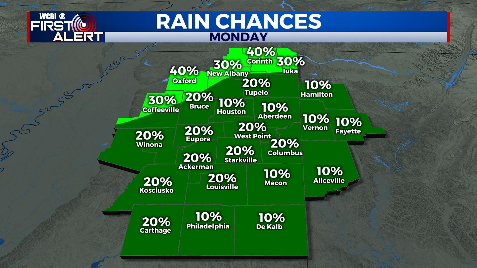
MONDAY: Variably cloudy, warm, and humid again today with isolated showers. Afternoon highs will climb into the lower 80s, especially for areas southeast of the Trace.
TUESDAY: Temperatures stay in the 80s under a mix of sun & clouds.
MID-WEEK: Drier air will finally move in from the east, ending the humid feels of late. Daytime highs will drop back into the lower & middle 70s, but morning lows will dip into the 40s and 50s.
FRIDAY: An Arctic front will be on the move toward the region while the circulation of Nicole spins east of the region. Highs will reach the mid to upper 70s ahead of Friday evening’s front. Nicole will continue heading east, away from Mississippi.
WEEKEND: Sunny, cold, and breezy weather will highlight the weekend. Behind Friday’s front, highs will struggle into the mid 50s Saturday and struggle into the upper 40s Sunday. The first freeze in many weeks will occur Sunday where lows will likely dip below freezing.


