Warm weather continues, showers possible Thursday PM
COLUMBUS, Mississippi (WCBI) – The much-anticipated cold front is still on schedule later this week. Cooler air continues to be its main story rather than rain chances.
WEDNESDAY: Sun early in the day will give way to increasing cloud coverage by afternoon & evening. It will stay warm with highs in the upper 80s.
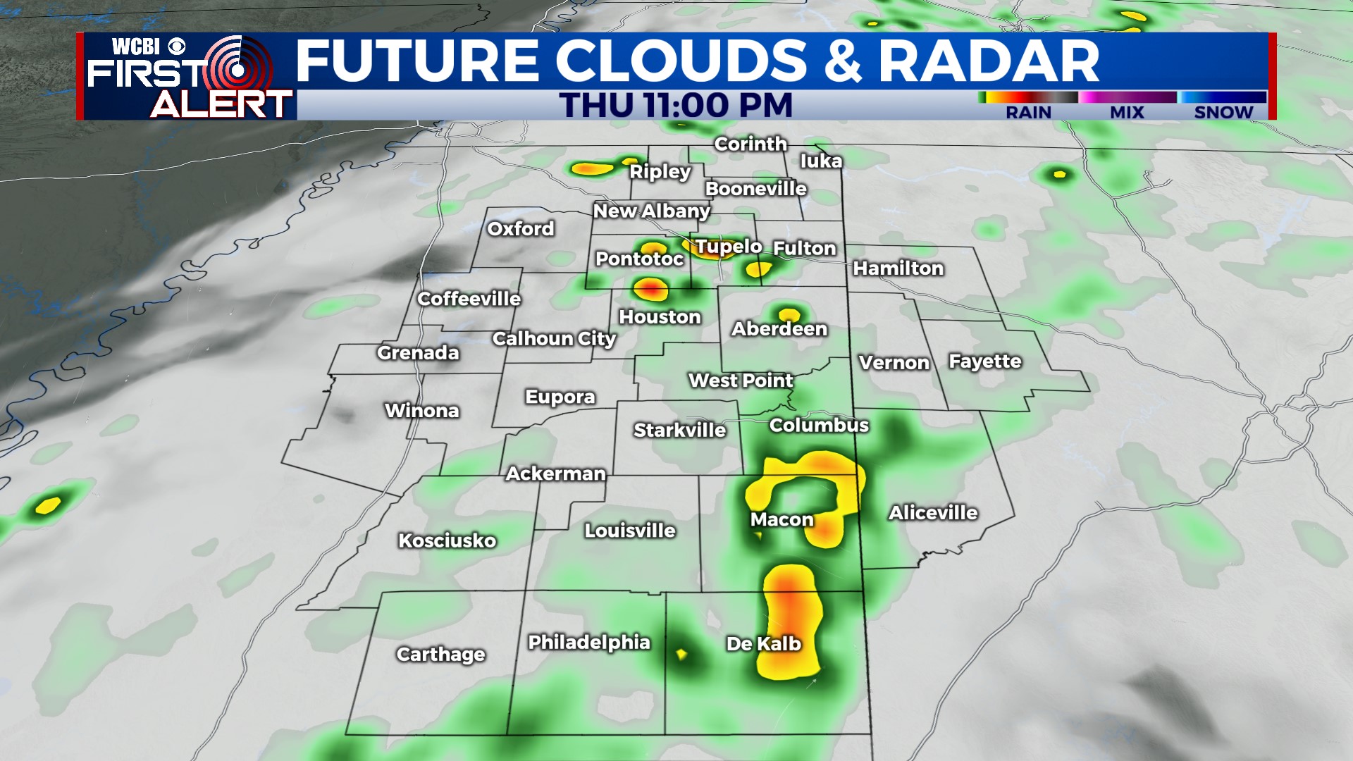
THURSDAY: Variably cloudy and warm with highs in the 80s. Some of the latest computer model guidance shows a little more hope for rain Thursday evening, but no drought relief is expected. If we’re lucky, a few spots may pick up a quarter inch.
FRIDAY: The actual front should slide through during the day, ushering in a stout breeze by afternoon…continuing into parts of the evening. Temperatures will top out in the low 80s during the day but should fall quickly into the low 50s and upper 40s by daybreak Saturday.
WEEKEND: We’re still in store for some beautiful early October weather! Highs both days will be the 70s, and Sunday morning still offers up low to mid 40s!
NEXT WEEK: A quick rebound in temperature is on the way. We’ll be back in the middle 80s by Tuesday.


