Warmer air moving back in
COLUMBUS, Mississippi (WCBI)- Warm air is going to be making a quick return to northern Mississippi this weekend. Rain will not become a stranger to our forecast, as we will see plenty more of it next week.
FRIDAY NIGHT: Temperatures tonight will cool some, but the heavy cloud coverage will keep it fairly mild. Overnight low temperatures will be in the lower 50s. There will be a light chance of scattered showers throughout the evening.
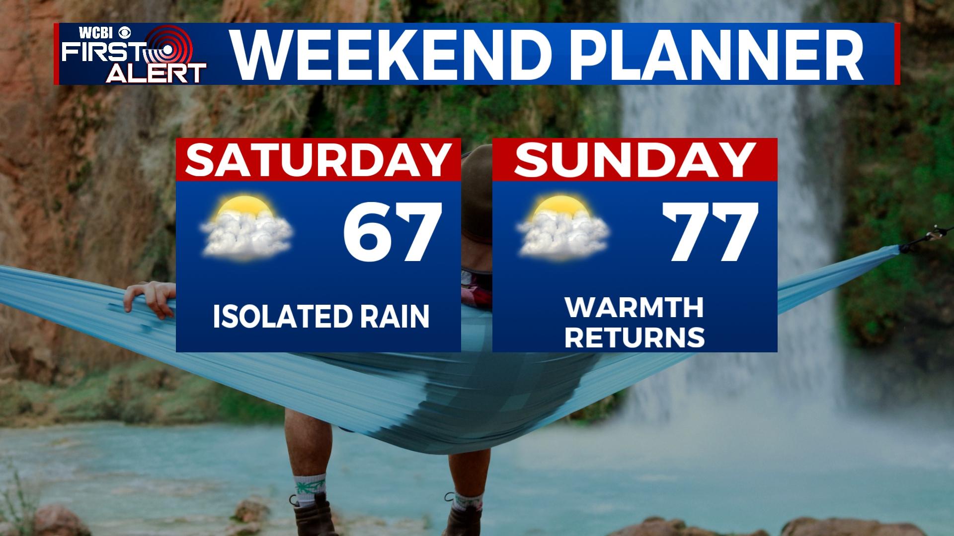
WEEKEND: The temperatures are going to be warming back up. Saturday will be in the upper 60s, while Sunday moves back into the upper 70s. Cloud coverage will remain partly to mostly cloudy, with a light chance for scattered showers. The low temperatures will be mild in the 50s and 60s.
NEXT WEEK: A quick-moving system will bring a fast round of scattered showers and a few thunderstorms Monday for northern Mississippi. The temperatures are not going to change much following that system, actually stay in the 70s through mid-week. Tuesday will dry out, before clouds quickly return Wednesday. A second, stronger system is expected to bring a much higher chance for rain Thursday into Friday, with potential for severe weather. Stay updated with us through the weekend and next week for more details.


