Warmer next few days, watching weekend system for rain and possible snow
COLUMBUS, Mississippi (WCBI) – After a cold few days, temperatures moderate nicely for the rest of the week. A strong system this weekend brings heavy rain and possible snow showers.
WEDNESDAY: Expect high clouds to stream across the sky today, but there will be plenty of sunshine as well. Highs will reach the middle 50s!
THURSDAY: A dry cold front will pass by during the morning hours, but you’ll hardly notice. In fact, daytime highs may push toward 60 degrees with a mostly sunny sky.
FRIDAY: Clouds slowly thicken through the day, but the weather should stay dry with highs scaling back a few degrees into the middle 50s.
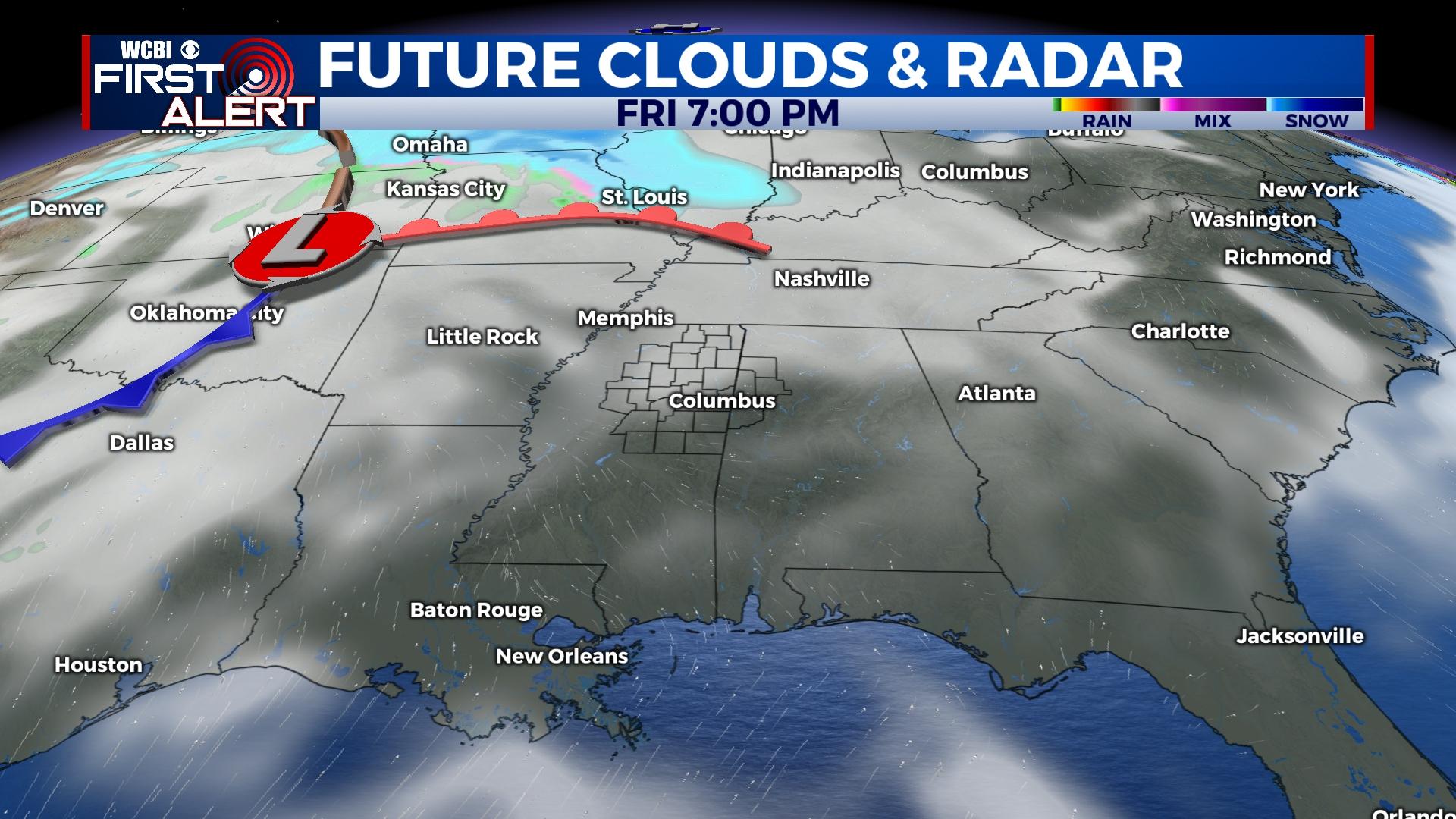
SATURDAY: The weekend forecast continues to offer up increasing rain chances for Saturday. In fact, locally heavy pockets of rain and even a few thunderstorms are possible. This looks to push east of the region Saturday night.
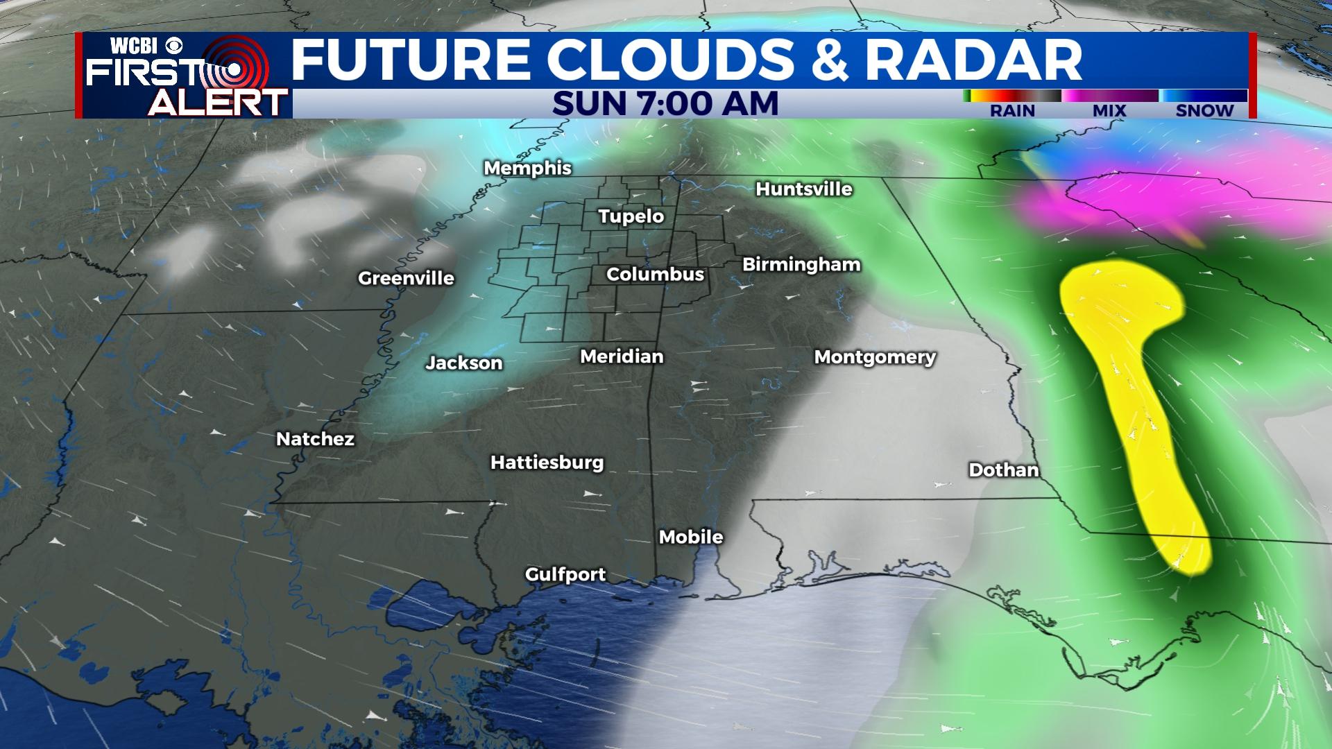
SUNDAY: This forecast hinges on the exact track of an upper-level low as well as an area of surface low pressure. Models have remained generally consistent on the idea of some degree of snow shower activity during the day Sunday, but they have varied significantly on position and totals. For now, the official forecast will call for scattered snow showers with limited accumulation potential and temperatures holding in the 30s. Stay tuned to future updates on this forecast.
MONDAY: Regardless of Sunday’s forecast evolution, temperatures will start in the 20s Monday morning and will only rebound into the 40s later in the day with sunshine.


