Warming trend continues, 70s likely by Wednesday
COLUMBUS, Mississippi (WCBI) – Temperatures will soar into the 70s Wednesday ahead of Thursday morning’s cold front.
TUESDAY: Lots of sun is in store again today with highs making it into the 60s by afternoon as southwest winds develop.
WEDNESDAY: The day starts milder with increased cloud cover and temperatures in the 40s. Intervals of sun will help temperatures climb into the 70s by afternoon, nearing records for some!
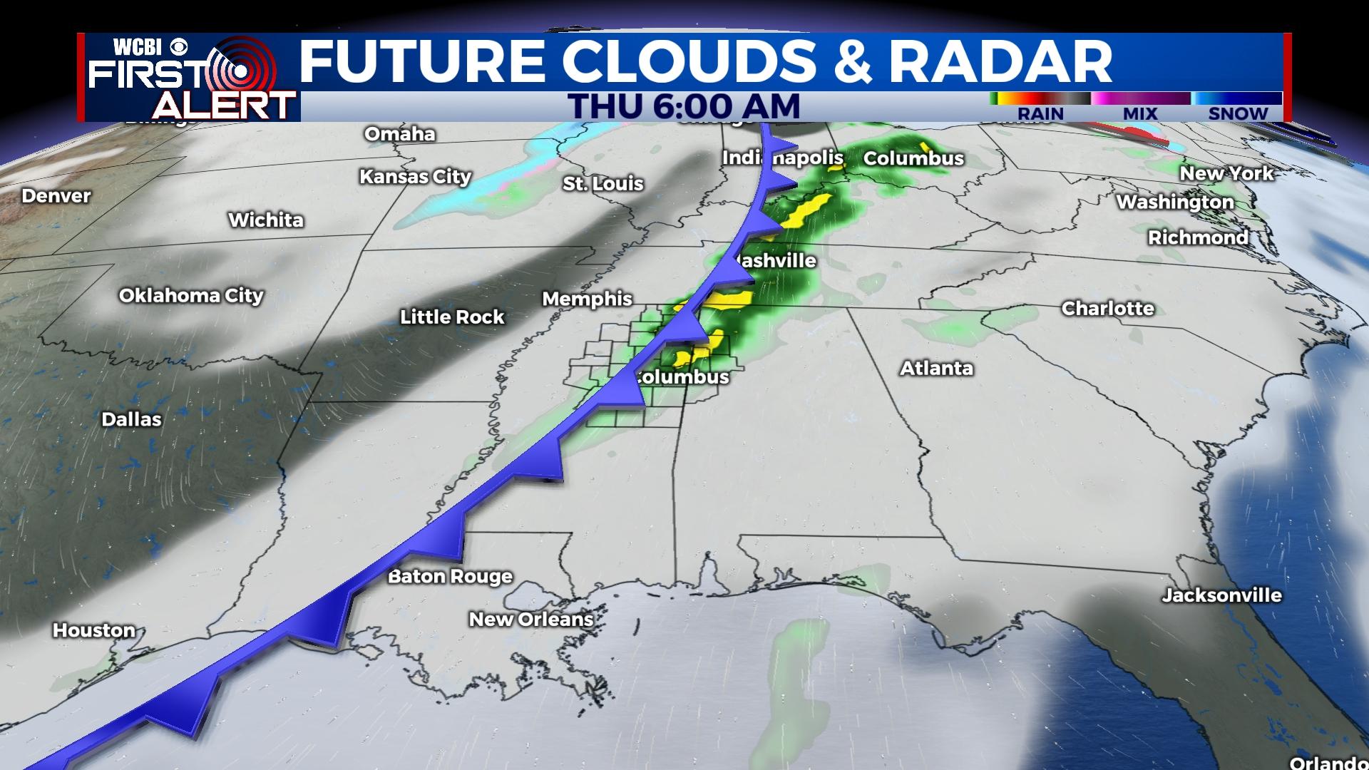
THURSDAY: Showers and a few storms are likely immediately ahead of a cold front during the early morning hours. The overall severe weather setup remains a bit “disjointed” in terms of the best shear overlapping with incoming moisture; still, a few severe storms with damaging wind or a brief tornado aren’t out of the question. Hail is also possible thanks to colder air aloft. Overall, confidence in severe storms remains low. Any rain & storms should be out of the coverage area by mid-morning Thursday at the latest.
FRIDAY: Much colder will follow Thursday’s front! Highs will struggle into the upper 40s Friday afternoon despite sunshine.
WEEKEND: Chilly but sunny weather will take hold for the weekend. The coldest morning will be Saturday as temperatures drop into the middle 20s.