Warming up late week, strong storms early Saturday
COLUMBUS, Mississippi (WCBI) – Unseasonably warm air returns later this week, and strong to severe storms become possible late Friday and early Saturday.
WEDNESDAY: Clouds start off this morning, but gradual clearing is expected through the day with highs reaching the upper 50s later in the day.
THURSDAY: As a result of a rapid wind shift overnight, clouds will come right back by Thursday morning. Expect a mostly cloudy day with spotty showers possible and highs in the 60s.
FRIDAY: Increasingly warm and humid weather is in store. While spotty showers or even a rumble or two are possible, much of the day will be dry, warm, and breezy. Highs will reach the upper 70s with south winds of 10-20 mph.
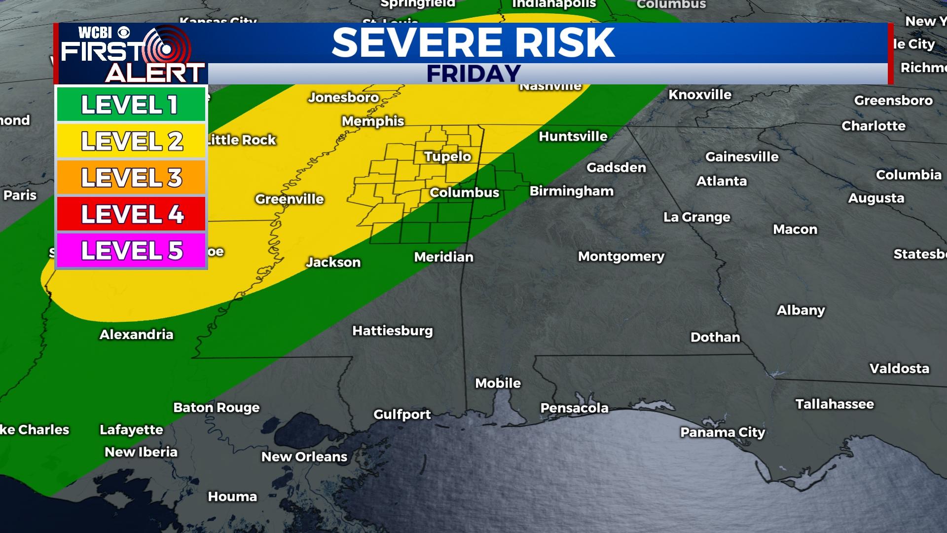
FRIDAY NIGHT/SATURDAY MORNING: A strong cold front will inch closer to the region with showers and storms developing. These storms should move into north Mississippi after midnight and have potential to be severe. The line of storms should cross the WCBI viewing area early Saturday morning, exiting into Alabama by 9 AM. Damaging winds and heavy rain will be the primary concern, though a few brief tornadoes aren’t out of the question. The environment is set up to favor mostly a linear nature to the storms, and directional shear favorable for tornadoes is marginal. All to say, the threat isn’t extreme, but you’ll need to have multiple ways to get watches and warnings since it’s an overnight event.
SATURDAY AFTERNOON: Storms will be out, and gradual clearing should be underway. Temperatures will tumble into the 50s with increasing northwest winds.
SATURDAY NIGHT: Mostly clear and COLD again with lows just above freezing.
SUNDAY: Plenty of sunshine is in store with highs in the upper 50s – a pleasant mid-December day.
NEXT WEEK: Sunshine continues along with a warming trend. Highs will be in the 60s again by Tuesday.