Waves of heavy rain later this week
COLUMBUS, Mississippi (WCBI) – While the week starts quiet, much warmer air moves in with several rounds of heavy rain & storms expected.
MONDAY: Clouds increase with temperatures in the low 50s by afternoon and a southeast breeze up to 15 mph.
MONDAY NIGHT: A few showers are possible, especially after midnight. Overnight lows will only fall into the 40s – much, much warmer than the last week!
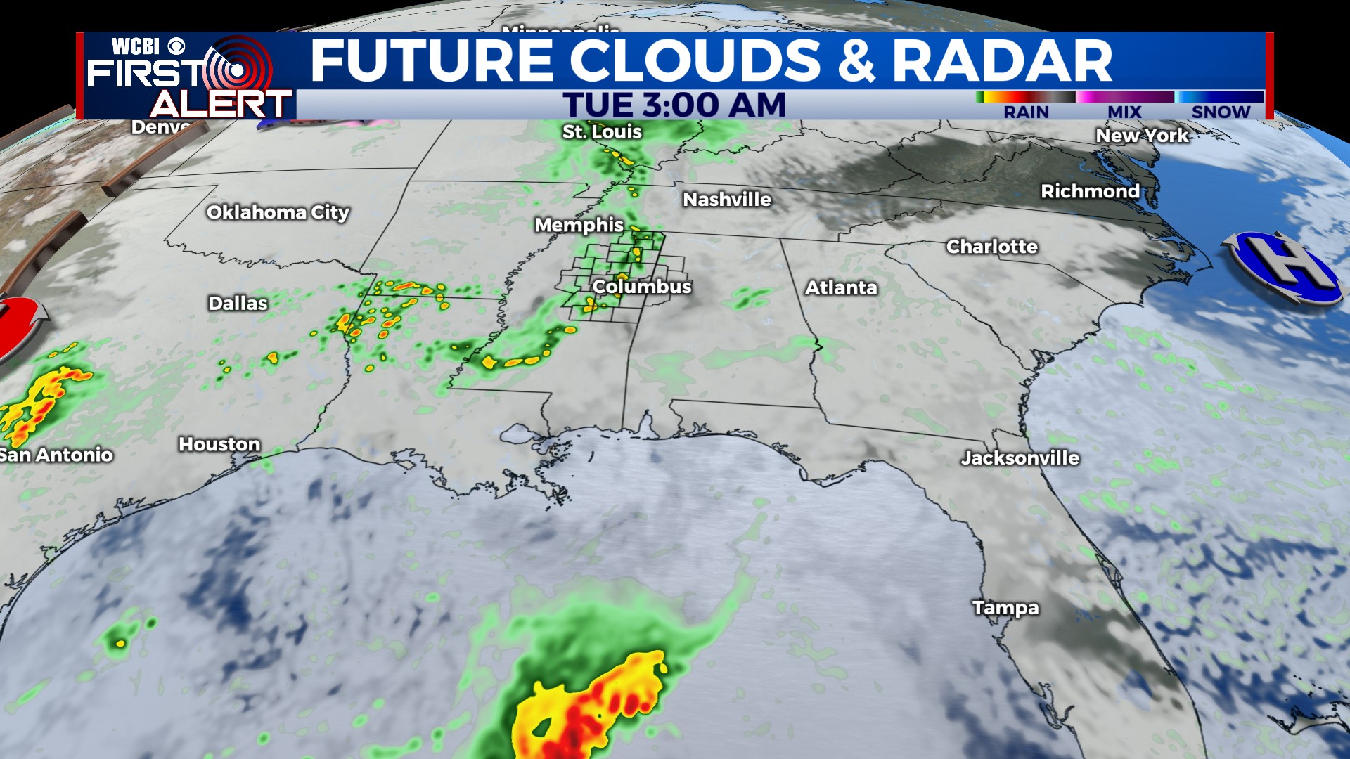
TUESDAY: On/off showers stay possible, especially in the morning hours. Clouds linger into the afternoon as highs reach the low 60s.
WED/THU: Our most active days. Several rounds of persistent, locally heavy rain are expected. Some storms are possible along the way, but right now the severe weather threat doesn’t look overly high. Highs both days will be in the upper 60s with unseasonably high moisture, meaning flooding will be a developing concern if bands of heavy rain develop. We stand a good chance to get over 3″ of rain in this time frame, which is good news for ongoing drought!
FRI/WEEKEND: It looks like we’ll catch a brief break in the action Friday, but clouds will linger through the day. Another system will swing through Saturday, bringing yet another chance for rain. We’ll finally dry out Sunday.


