Winter weather and dangerous cold
COLUMBUS, Mississippi (WCBI) – A winter storm will affect most of the WCBI coverage area Monday into early Tuesday. Dangerous cold then affects all of the Mid-South through Wednesday.
MONDAY: Areas of freezing rain and sleet are set to overspread the Hwy 82 corridor up to roughly US 278 by afternoon as temperatures sit in the 20s. Hazardous travel is likely, especially in any heavier pockets of precipitation. Snow is likely in extreme northern parts of the region, likely along & north of US 278.
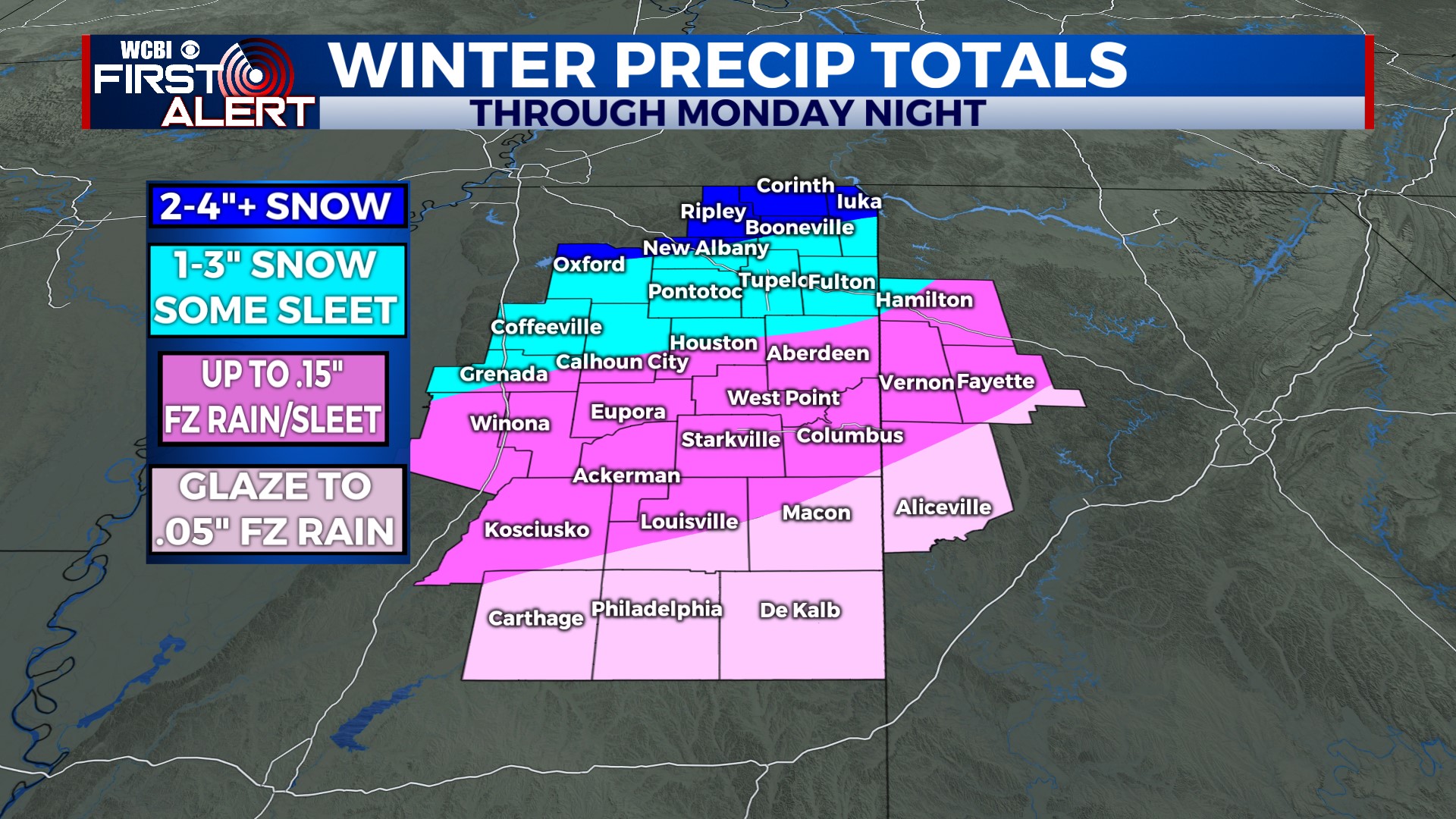
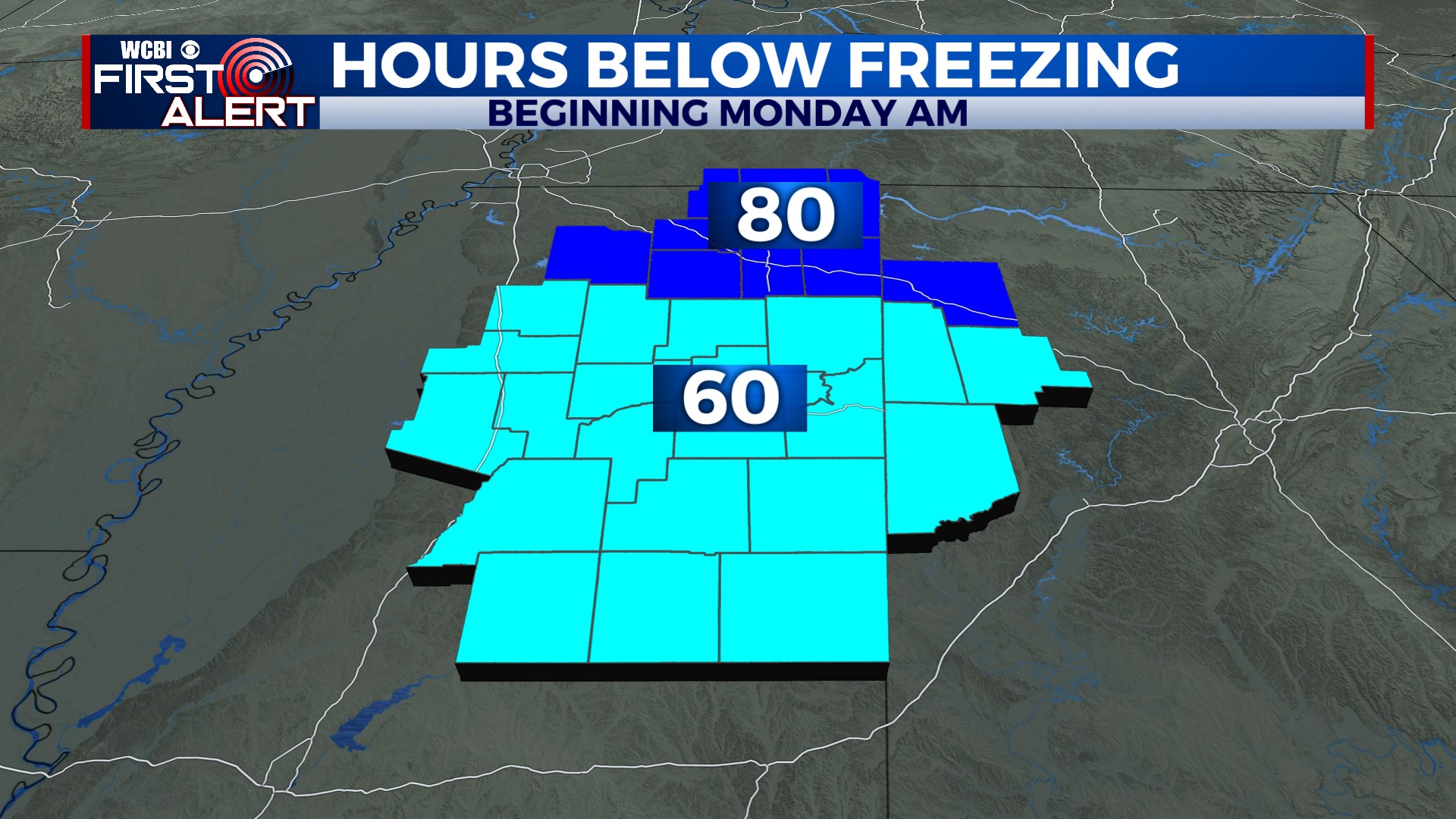
MONDAY NIGHT: Precip. gradually ends, but clouds will linger and temperatures will continue dropping into the teens area-wide. Winds will also increase, and single digits to sub-zero wind chills are likely.
TUESDAY: We should see some clearing through the day, but highs will remain in the 20s area-wide with wind chills hanging in the single digits. Travel difficulty could continue, especially in heavier precip. areas from Monday. Our COLDEST night moves in Tuesday night, where overnight lows in the single digits are likely…with sub-zero wind chills likely for most.
WEDNESDAY: We’ll finally get above freezing for most areas under full sunshine, but it will still be a cold day in the 30s.
THU/FRI: Yet another system will swing through the Mid-South, bringing more rain and potentially winter weather chances in our northern counties. While temperatures may briefly reach the 40s Thursday afternoon, another round of bitter cold moves in Thursday night into Friday & the weekend. Depending on how things play out, some travel disruption is also possible Friday morning due to residual moisture freezing.