A bit more sunshine & warmer temperatures for St. Patrick’s Day
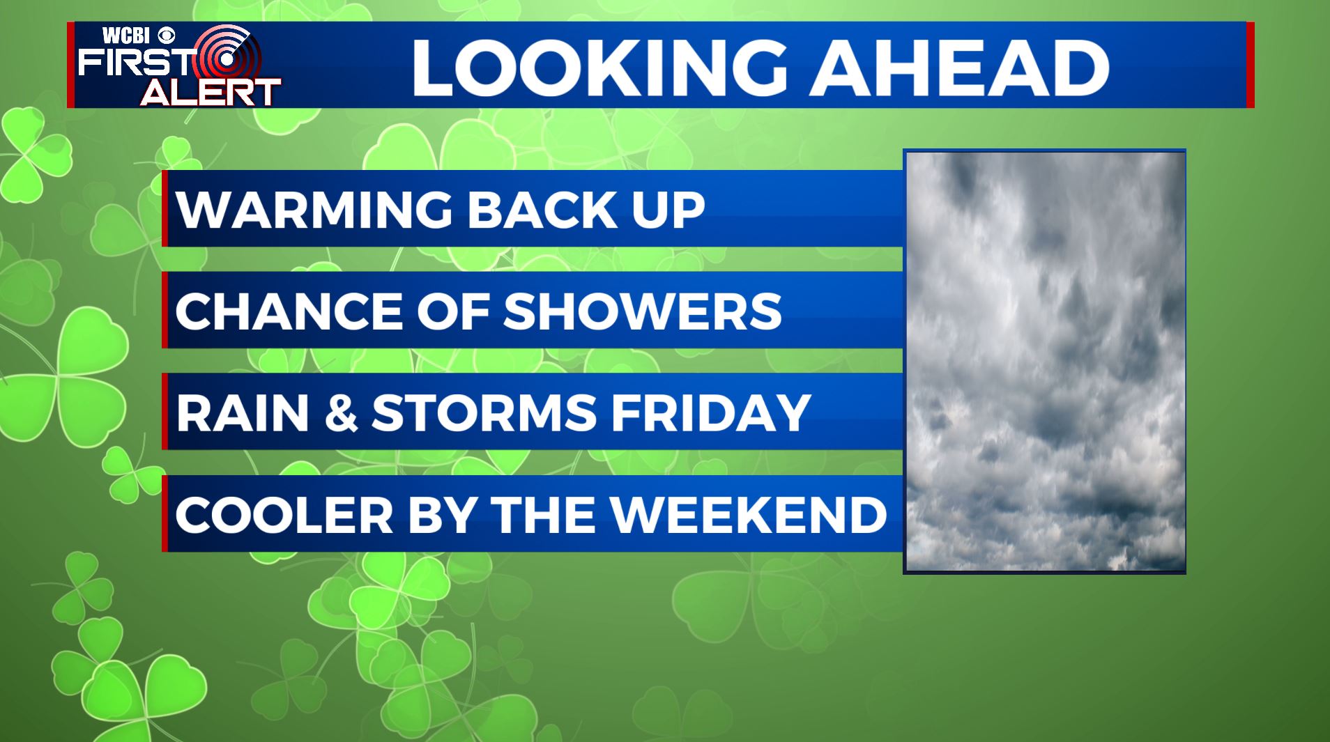
SUMMARY: Temperatures will be warming up over the next few days but rain chances are going to remain low and very scattered. The best chance for widespread, heavy rain and perhaps some storms is looking to be Friday. Cooler air settles back in for the weekend with more on/off again rain chances.
TUESDAY: Happy St. Patrick’s Day! We’ll have a bit of luck with our weather for our Tuesday. A few showers and some patchy fog are possible during the morning hours, but we’ll see a mix of sun & clouds by the afternoon. Look for highs in the low to mid 70s by the afternoon hours. Light winds from the N to NE.
TUESDAY NIGHT: Mostly cloudy. Maybe a stray shower in our far southern counties. Lows in the upper 50s.
WEDNESDAY & THURSDAY: Partly to mostly cloudy and warmer. Highs ranging from the upper 70s to lower 80s. Overnight lows in the 60s. Showers and a few scattered storms are possible but we’re keeping the odds down so most spots will probably not have any issues.
FRIDAY: Staying mild with highs in the lower to mid 70s. A cold front moving through the region will produce a good chance for showers and storms. A few strong storms can’t be totally ruled out but it doesn’t appear to be a major severe weather producer at this point. We’ll keep watching.
THE WEEKEND: Yet another batch of scattered showers and storms will continue through the weekend. Highs will be cooler with temperatures in the mid to upper 50s both Saturday and Sunday. Morning lows will be in the 40s on Saturday and Sunday mornings.
MONDAY: Mostly cloudy with another chance of on/off again rain chances. Highs back up into the mid 60s.
Stay connected with @WCBIWEATHER on Facebook, Twitter, Instagram, and the WCBI News App


Leave a Reply