Sunny, warm and breezy for Thursday
SUMMARY: Highs will be well into the 80s Thursday into Friday. Several new record highs may be established in the region. The next chance of strong to severe storms will be Saturday afternoon into Saturday night. Drier cooler conditions move back in next week.
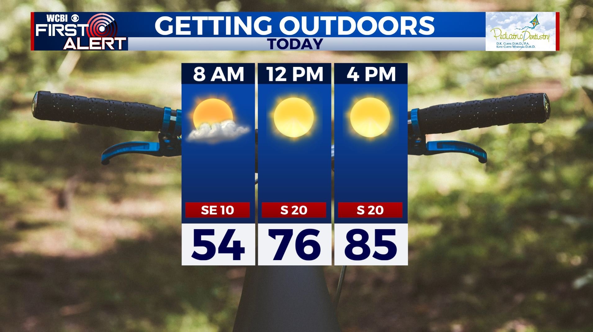
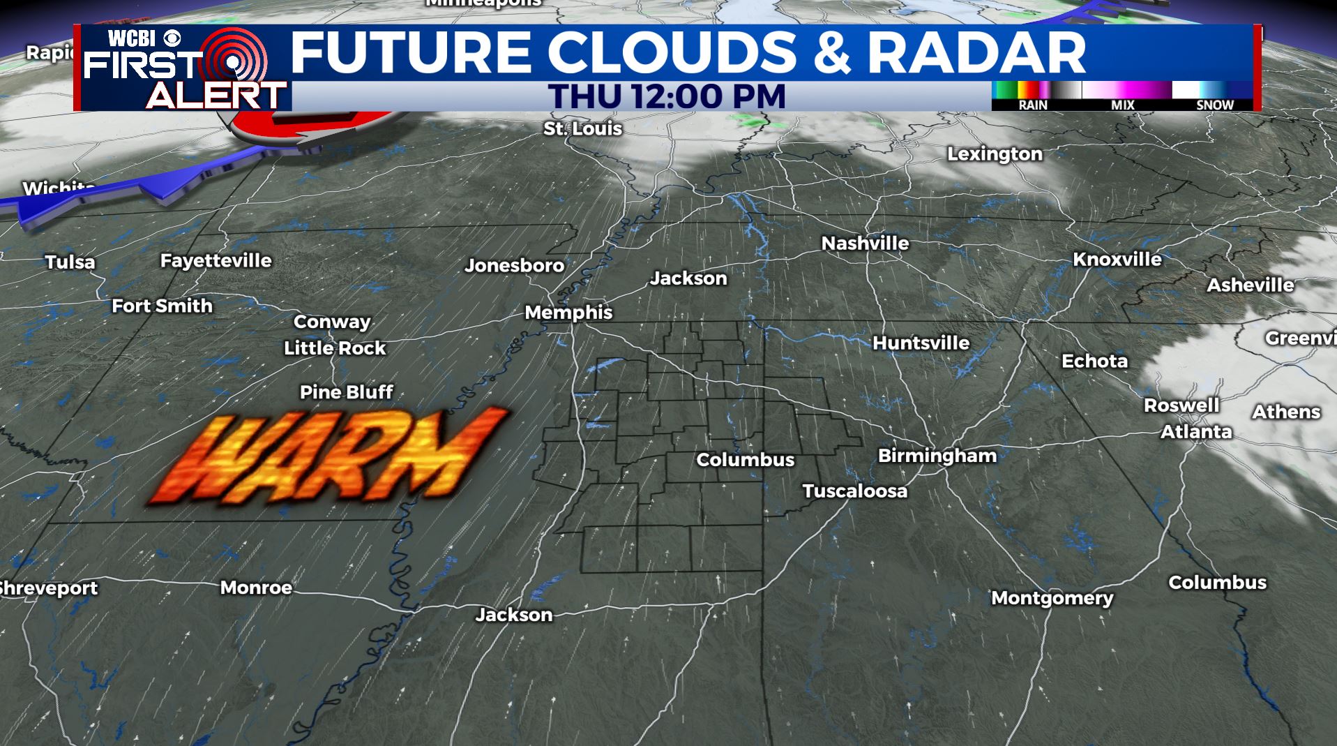
THURSDAY: We’ll see lots of sunshine for your Thursday so try to get some fresh air if you can. It will be warm & breezy. Highs well into the mid 80s as winds pick up from the south 10-20 mph.
THURSDAY NIGHT: Mostly clear with a few clouds moving in after midnight. Overnight lows in the 60s.
FRIDAY: Partly cloudy in the morning then more sunshine in the afternoon. Highs still very warm well into the mid to possibly upper 80s. Some new record highs are possible. Lows in the 60s. Breezy southerly winds 5-10 mph.
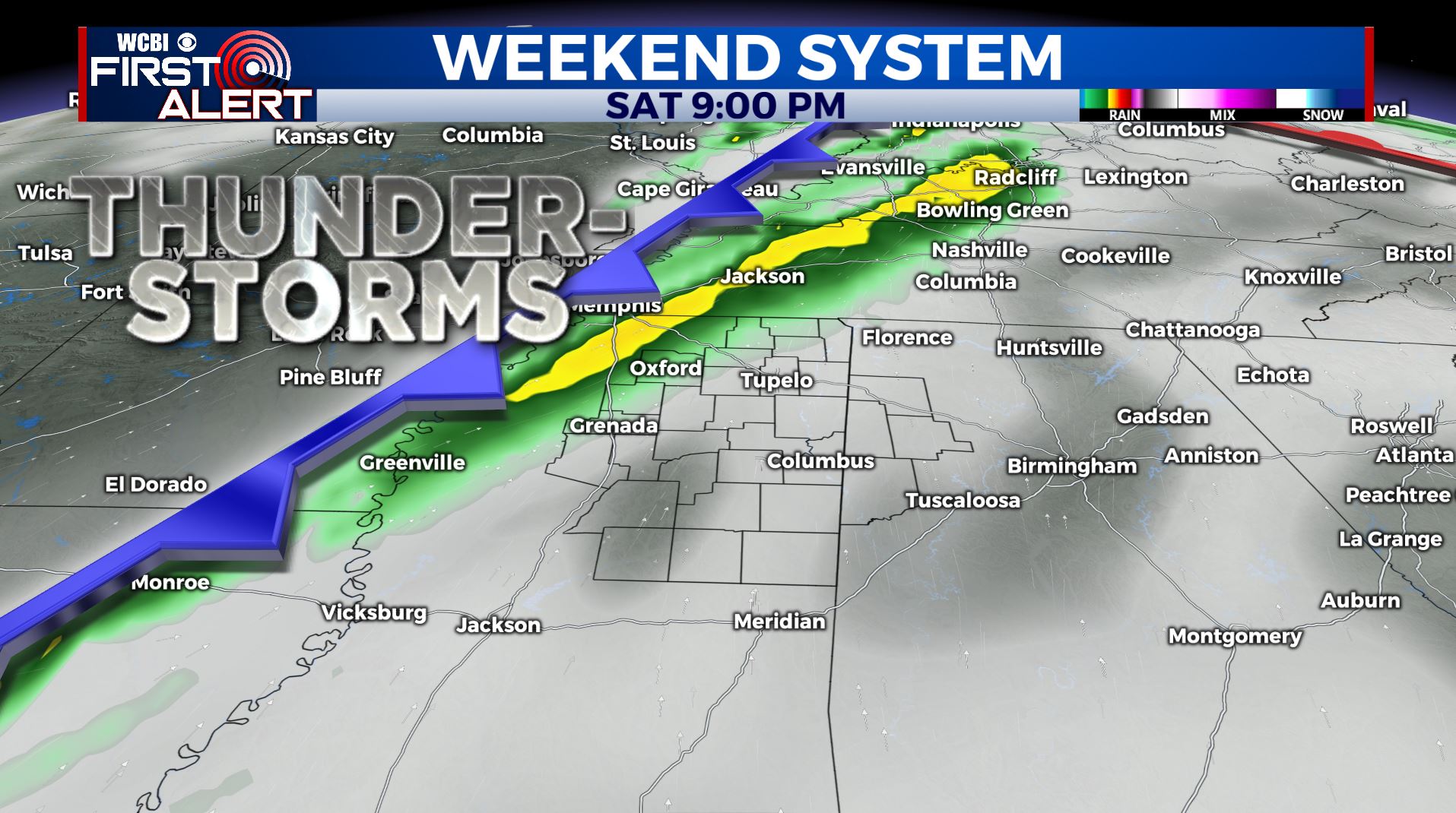
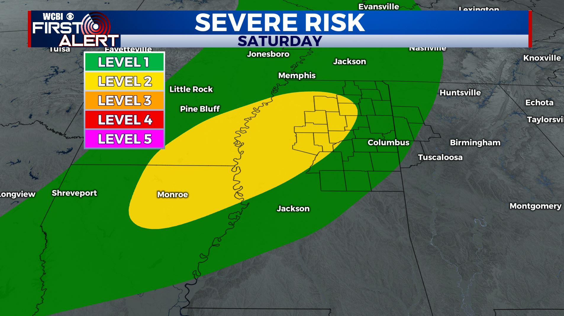
SATURDAY: We’ll be staying quite warm with another day well into the 80s. Showers and storms will be possible during the afternoon and evening. At first glance it appears that if we do have any strong to severe storms they would present more of a wind and hail threat than anything else. Right now, we’re in a Level 1-2. We’ll continue to monitor things over the coming days.
SUNDAY: High pressure will be moving back in, allowing mostly sunny skies return. A pleasant day is likely with highs in the lower 70s.
MONDAY: Dry and mostly sunny conditions. High temperatures in the lower 70s.
TUESDAY: Mostly cloudy with chances for some scattered showers and storms. High temperatures in the mid 70s.
WEDNESDAY: A mix of sun & clouds with a slight chance for a stray shower. Highs below average & cooler in the mid 60s.
Stay connected with @WCBIWEATHER on Facebook, Twitter, Instagram, and the WCBI News App


Leave a Reply