Strong Storms Possible Sunday Night & Monday
SATURDAY: We’ll start off the day on a cloudy note but partly cloudy skies should develop as the day wears on. Southwesterly breezes between 10 and 15 mph are going to continue to usher in warm air. Look for afternoon highs in the upper 70s to lower 80s.
SATURDAY NIGHT: A fairly quiet night is likely with lows in the 50s.
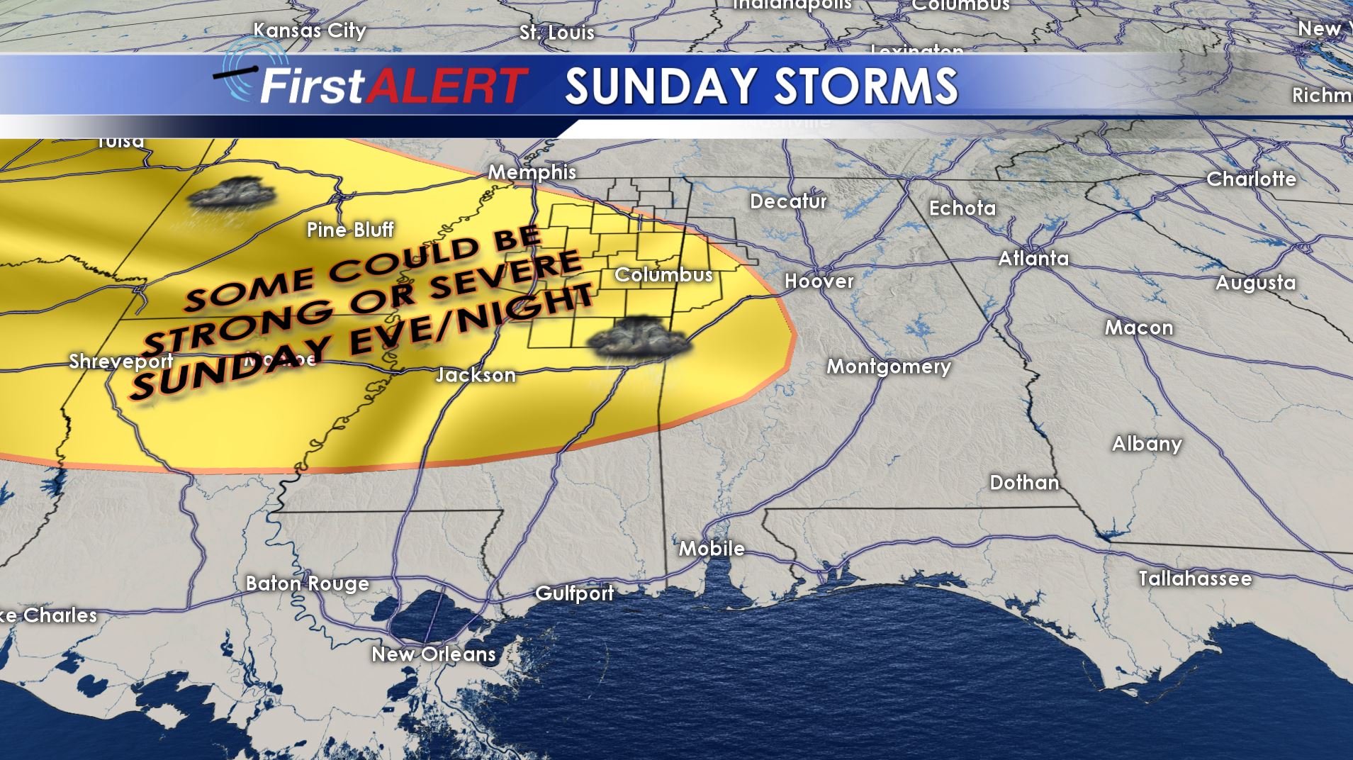
Sunday Storms
SUNDAY: A mix of clouds and sun is expected along with highs in the 70s. While most of the daylight hours will probably be quiet there still is the chance of some showers and storms.
SUNDAY NIGHT: The latest data continue to suggest the possibility of several clusters of storms rumbling across the region. Some
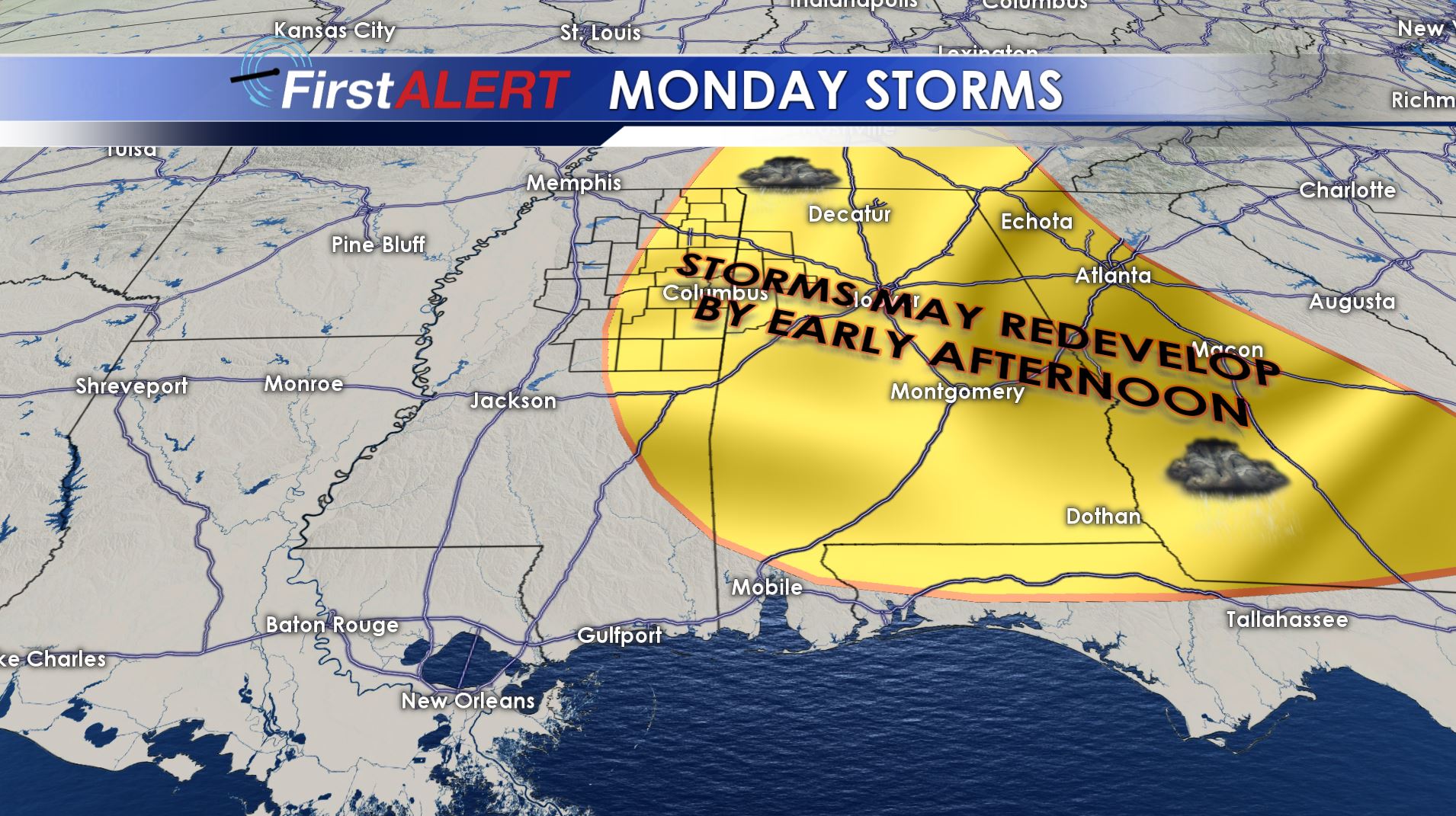
Monday Storms
storms may become severe with heavy rain. Lows will be in the upper 50s to around 60.
MONDAY: Highs stay in the 70s and some spots may approach 80 again before the day is done. Additional storm redevelopment is possible during the afternoon across our area. Any storm that does develop could become severe with all modes possible, including tornadoes.
TUESDAY – FRIDAY: Cooler and more stable air returns to the region. Highs may tumble back into the 50s for the middle of the week with some overnight lows dropping into the low 30s.
Follow @WCBIWEATHER on Facebook, Twitter, Instagram, and Snapchat


Leave a Reply