Heavy Rain; Isolated Strong Storm Possible Today.
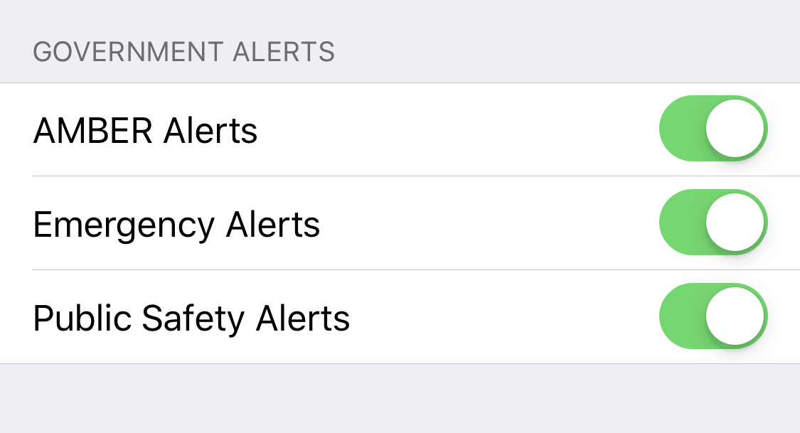
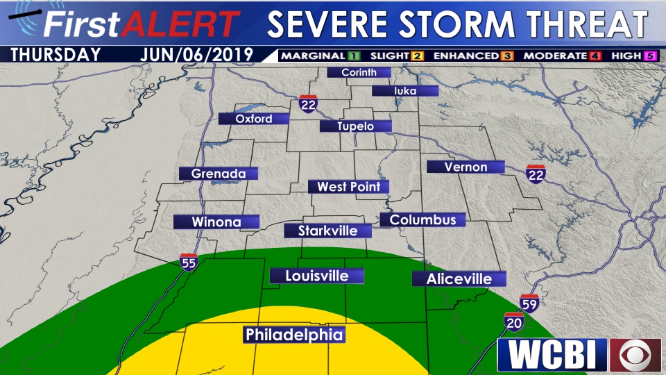 TODAY: Heavy rain is likely today as tropical downpours move through the area. 1-3 inches of rain possible across the area, with the highest rainfall totals likely to come to areas along and south of US-82. In addition to heavy rain, enough wind shear will be present today to support a shower or storm capable of producing gusty straight line winds or perhaps a spin-up tornado along and south of US-82. The overall severe threat is low, but make sure to remain weather aware through the day today. Make sure emergency alerts and public safety alerts are turned on in your phone’s notifications, download the WCBI weather app and allow push notifications, and have a battery operated weather radio to stay informed through the day today. Watch WCBI Weather Webcast
All the heavy rain today will keep temperatures from climbing much, and most spots will stay shy of 80° today. Overnight, lows dip back down to around 70°.
FRIDAY/SATURDAY: Temperatures will be in the low 80s with scattered tropical downpours likely each day. Rainfall totals likely won’t be quite as high as on Thursday, but an additional 1-3 inches of rain will be possible.
SUNDAY/MONDAY: Scattered showers and storms will remain likely as we head into the start of next week. Temperatures will be in the low to mid 80s, with overnight lows dipping into the 60s.
TUESDAY/WEDNESDAY: We should finally start to dry out as we head into the middle of next week. High temperatures will be in the low to mid 80s, and overnight lows will drop into the upper 60s.


Leave a Reply