The summer heat and humidity not going anywhere this week
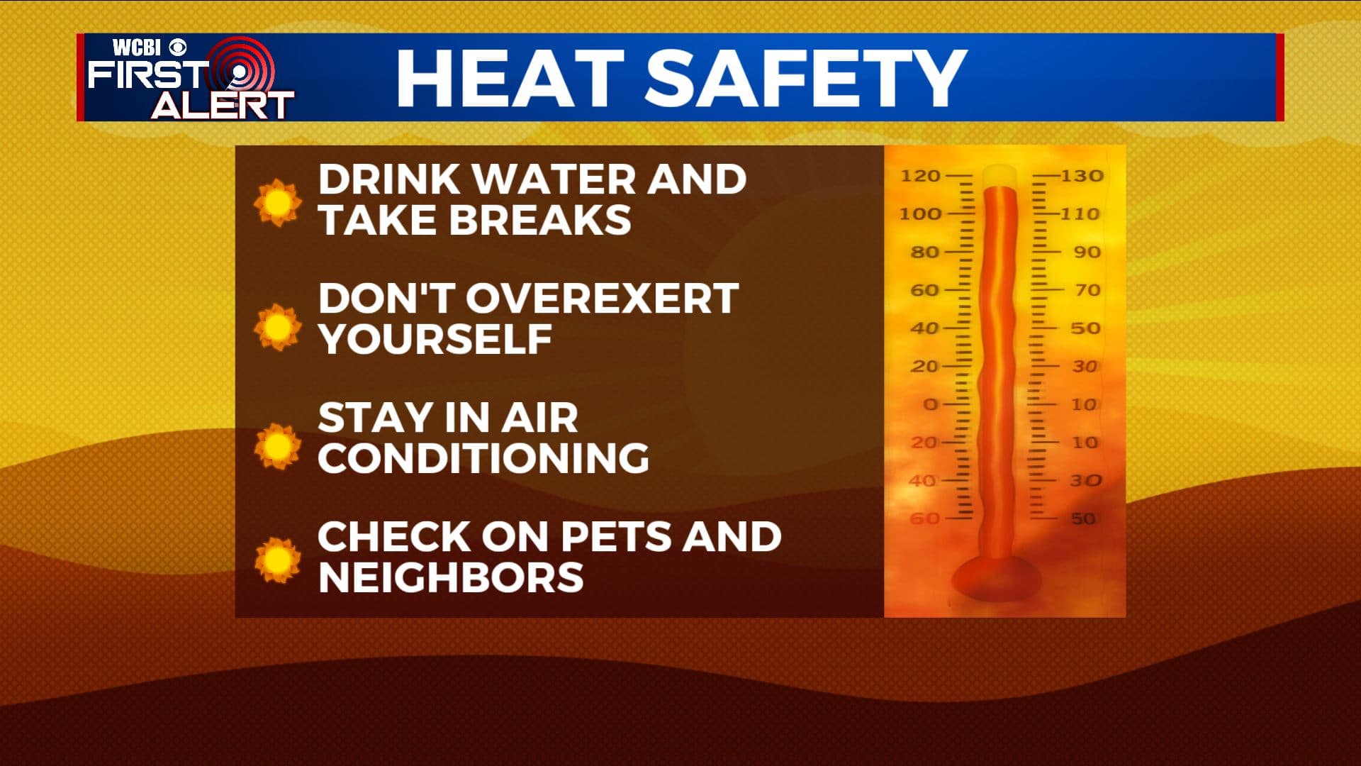
SUMMARY: The heat and humidity will continue for the upcoming workweek with highs in the mid 90s and heat index values approaching 100-105 degrees at times. Daily afternoon pop-up showers and storms will be possible through the week, but not looking to be a washout.
MONDAY: We’re basically pressing the repeat button for your weather on Monday. Highs will be in the mid 90s with heat index values close to 100-105 in the afternoon. You can expect a mix of sunshine and clouds through the day with the chance of an isolated shower or storm.
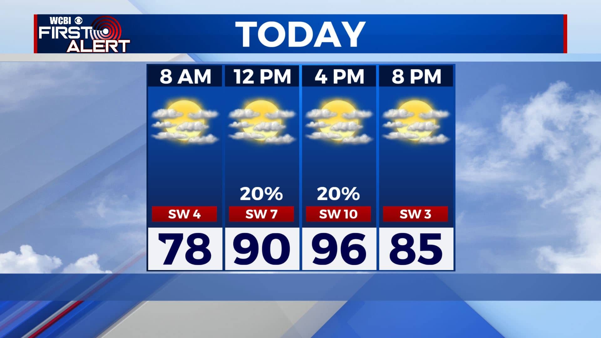
MONDAY NIGHT: Partly cloudy and muggy. Overnight lows in the mid 70s.
TUESDAY-FRIDAY: Hot and humid weather will continue for the remainder of the week with temperatures climbing into the mid 90s each afternoon. Chances for afternoon pop-up storms will increase slightly through the week, but still not everyone will see rain each day. Overall, rainfall amounts look to be less than half an inch across the area for the next seven days. However, if you’re lucky enough to see a quick downpour, it will help to cool you down a few degrees.
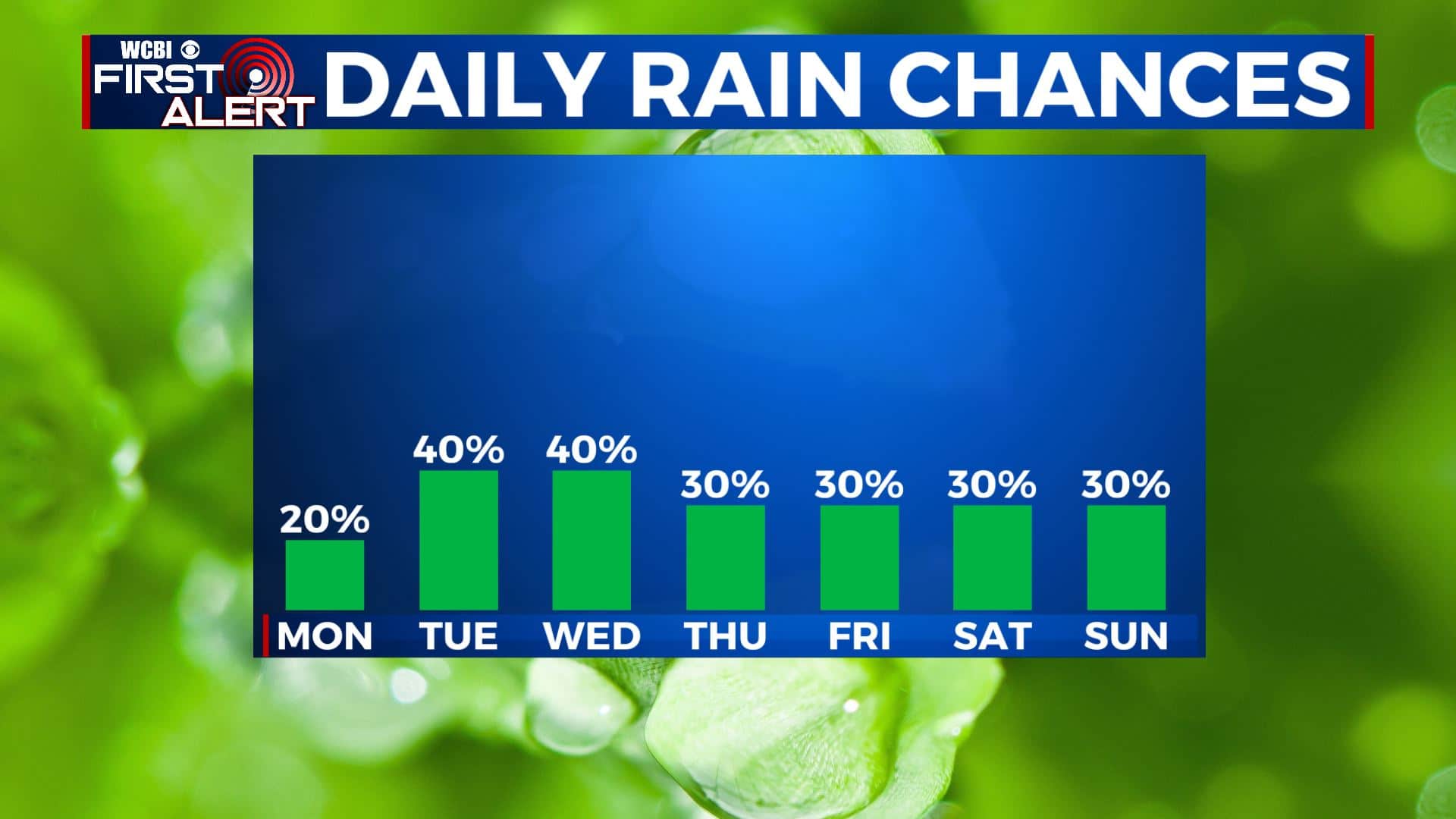
SATURDAY-SUNDAY: As of now, the weekend is looking dry for the most part aside from a few scattered showers or storms. High temperatures will remain hot with highs in the mid 90s and overnight lows in the mid 70s.
Stay connected with @WCBIWEATHER on Facebook, Twitter, Instagram, and the WCBI News App


Leave a Reply