Brighter Skies, Less Humid Air Returning
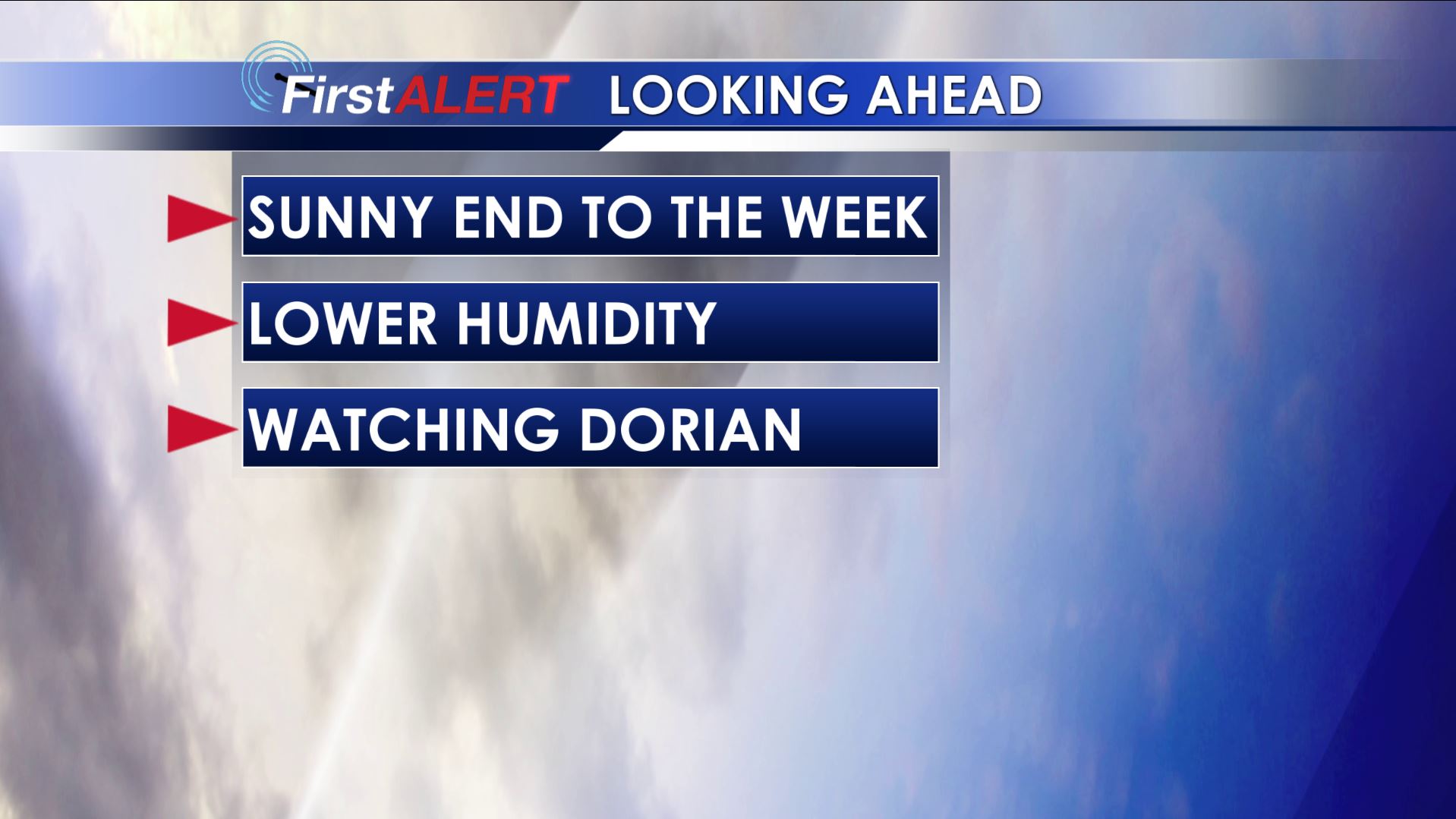
SUMMARY: A cold front is moving through the region and it will usher in brighter skies and lower humidity for the end of the work week and the start of the Labor Day weekend.
TUESDAY NIGHT: Variably cloudy with a few lingering showers possible. The chance of rain is 10-20% or less. Lows around 70 with NW winds 2-5 mph.
WEDNESDAY: Becoming mostly sunny. Northerly winds between 5-15 mph will allow less humid air to filter in during the day. Highs will be in the mid to upper 80s.
WEDNESDAY NIGHT: Mainly clear and quiet. Much cooler lows in the low 60s return.
THURSDAY: Warm, sunny, and less humid. Highs in the mid to upper 80s.

THURSDAY NIGHT: Clear and cool. Lows in the low 60s with some upper 50s certainly possible.
FRIDAY-SATURDAY: Mostly sunny and warm. This bodes well for high school football games Friday night and for the college football games on Saturday. The Ole Miss/Memphis game up in Memphis should have beautiful weather. Highs will be in the upper 80s to lower 90s with lows in the 60s. Don’t forget to wear your sunscreen and sunglasses!
SUNDAY-TUESDAY: We’re going to keep a 20-30% chance of pop-up showers and storms going. It’s not looking like a washout by any means but there could be some rain around. Highs will remain in the upper 80s to lower 90s. The wildcard will be the remnants of Dorian that could affect part of the Southeast, especially parts of Florida and Georgia. It’s something we’ll be monitoring during the course of the next few days.
Stay connected with @WCBIWEATHER on Facebook, Twitter, and Instagram


Leave a Reply