The sunshine is returning to end the workweek
SUMMARY: We’re waking up to low stratus cloud cover this Thursday morning, but the sunshine is making a comeback as we end the workweek as high pressure builds in to the region. More rain is possible Saturday with another cold front. Quiet and warmer December temperatures is expected for early next week. Still no major winter weather or severe weather expected between now and Christmas.
THURSDAY: The end of the workweek looks to be dry with more sunshine returning to the forecast for our Thursday after morning clouds. Staying a bit chilly with highs in the upper 40s thanks to a NW wind 5-10 mph.
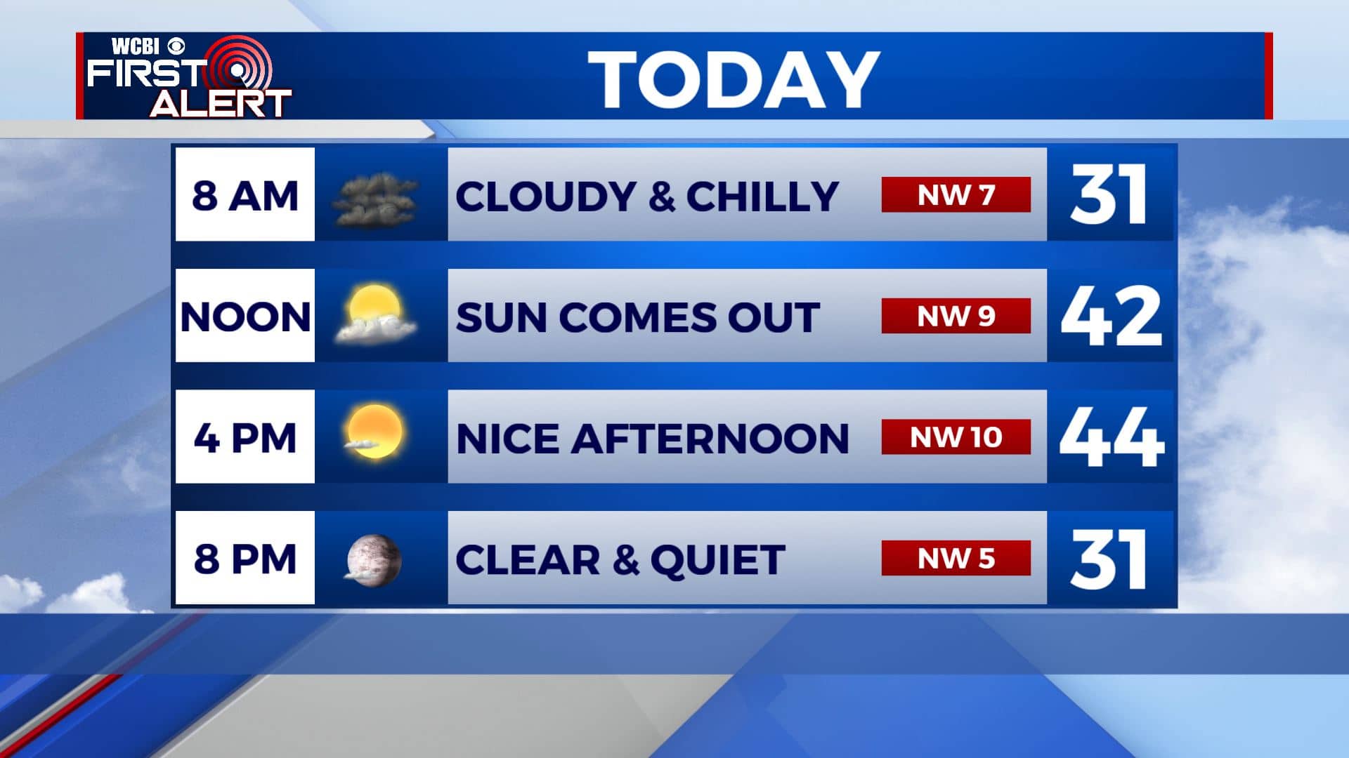
THURSDAY NIGHT: Mostly clear skies and cold. Overnight lows in the mid to upper 20s.
FRIDAY: Mostly sunny skies. Highs in the lower to mid 50s.
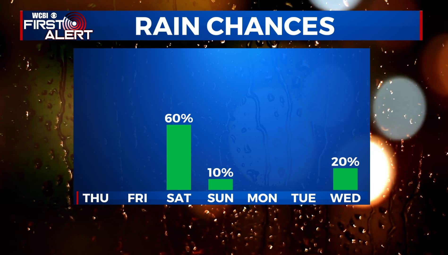
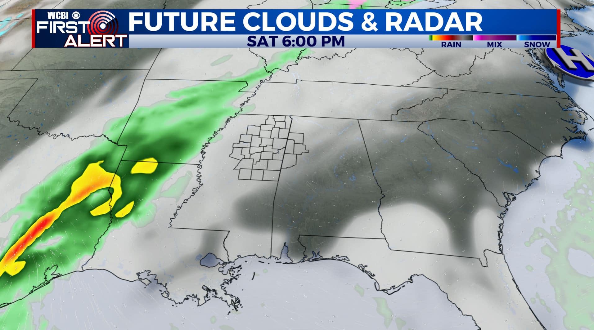
SATURDAY: Mostly cloudy with a chance of showers. Highs remain in the lower to mid 50s.
SATURDAY NIGHT: Mostly cloudy. Lows around 40.
SUNDAY: A mix of sun & clouds with a stray shower possible. Highs in the lower 50s.
EARLY NEXT WEEK: Mostly sunny and quiet as we head into Christmas Week. Milder highs in the upper 50s to around 60.
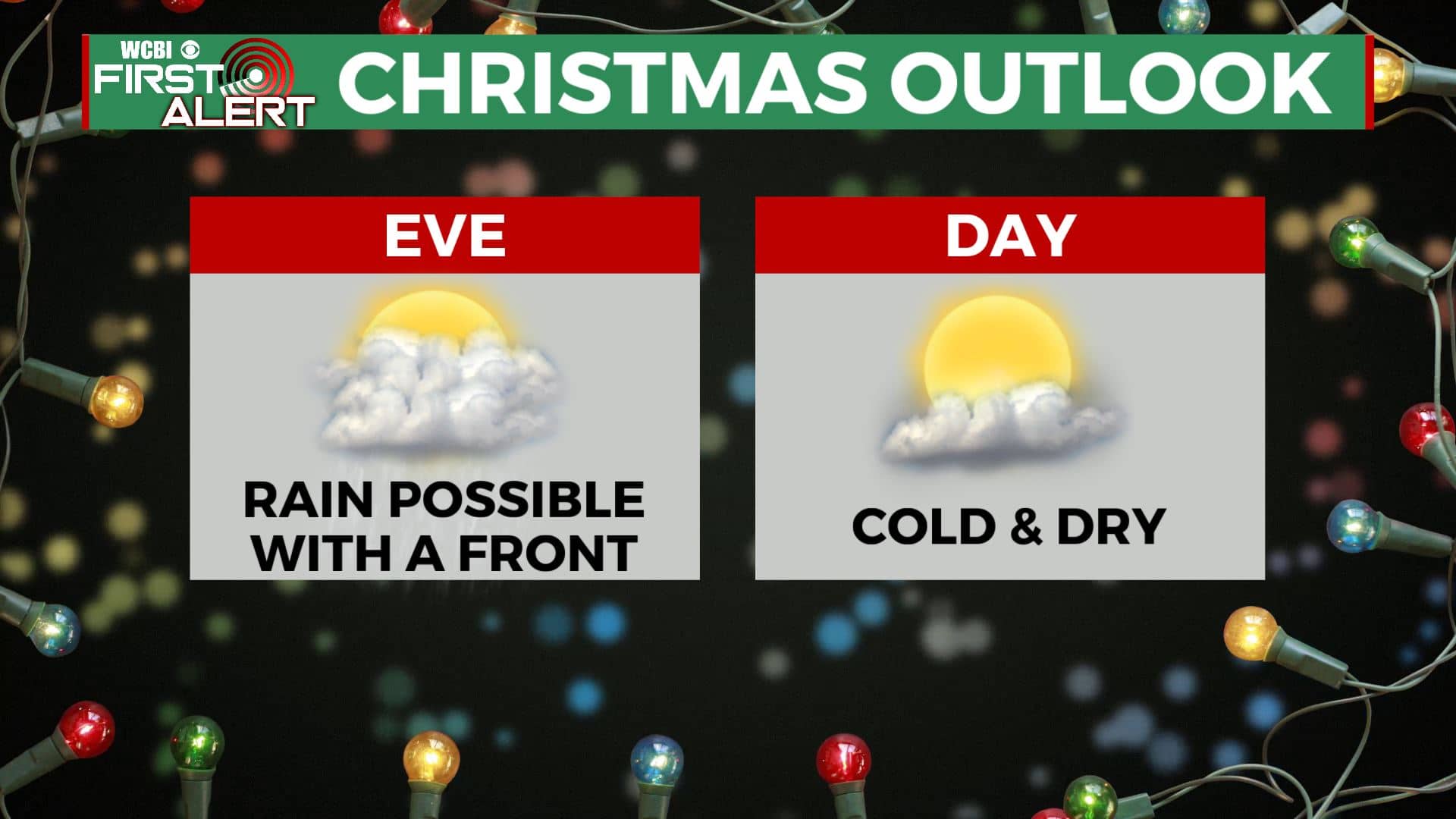
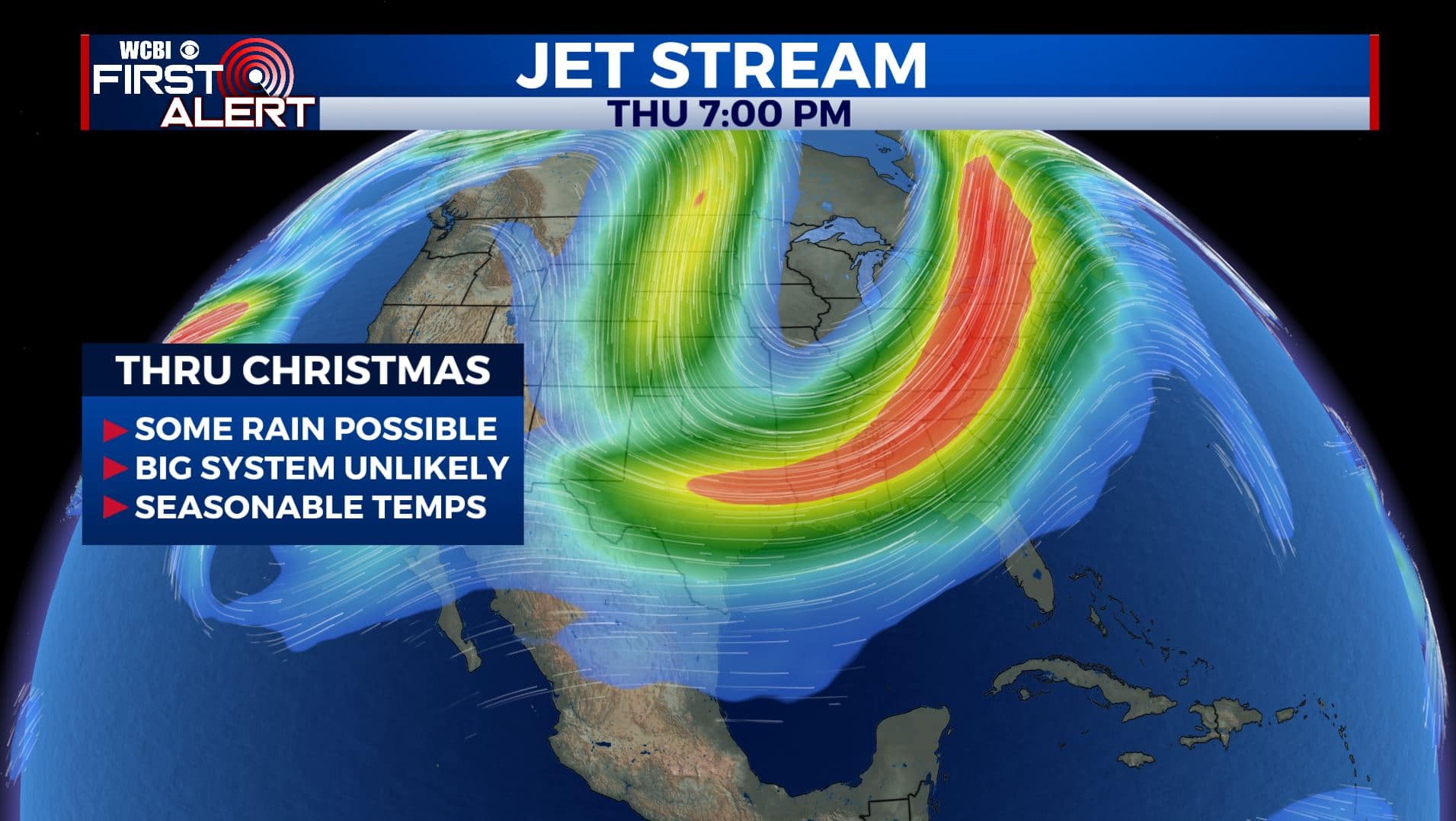
MIDWEEK INTO CHRISTMAS: Looking ahead for the next week, we are not expecting any bi or major systems that would cause severe weather or winter weather. There will be a cold front passing through Christmas Eve, bringing us some possible rain chances followed by a cold, but dry Christmas Day. Stay tuned!
Stay connected with @WCBIWEATHER on Facebook, Twitter, Instagram, and the WCBI News App


Leave a Reply