Showers by Tomorrow Night, Severe Storms Possible Midweek
TONIGHT: Sunday Night lows drop into the 40s with a mostly clear sky. Look for south winds 3-8 mph.
MONDAY: We’re back into the upper 60s and low 70s with increasing clouds. A few showers are possible as early as Monday evening, particularly west of the Natchez Trace. Monday Night, scattered showers are anticipated with lows only in the middle 50s.
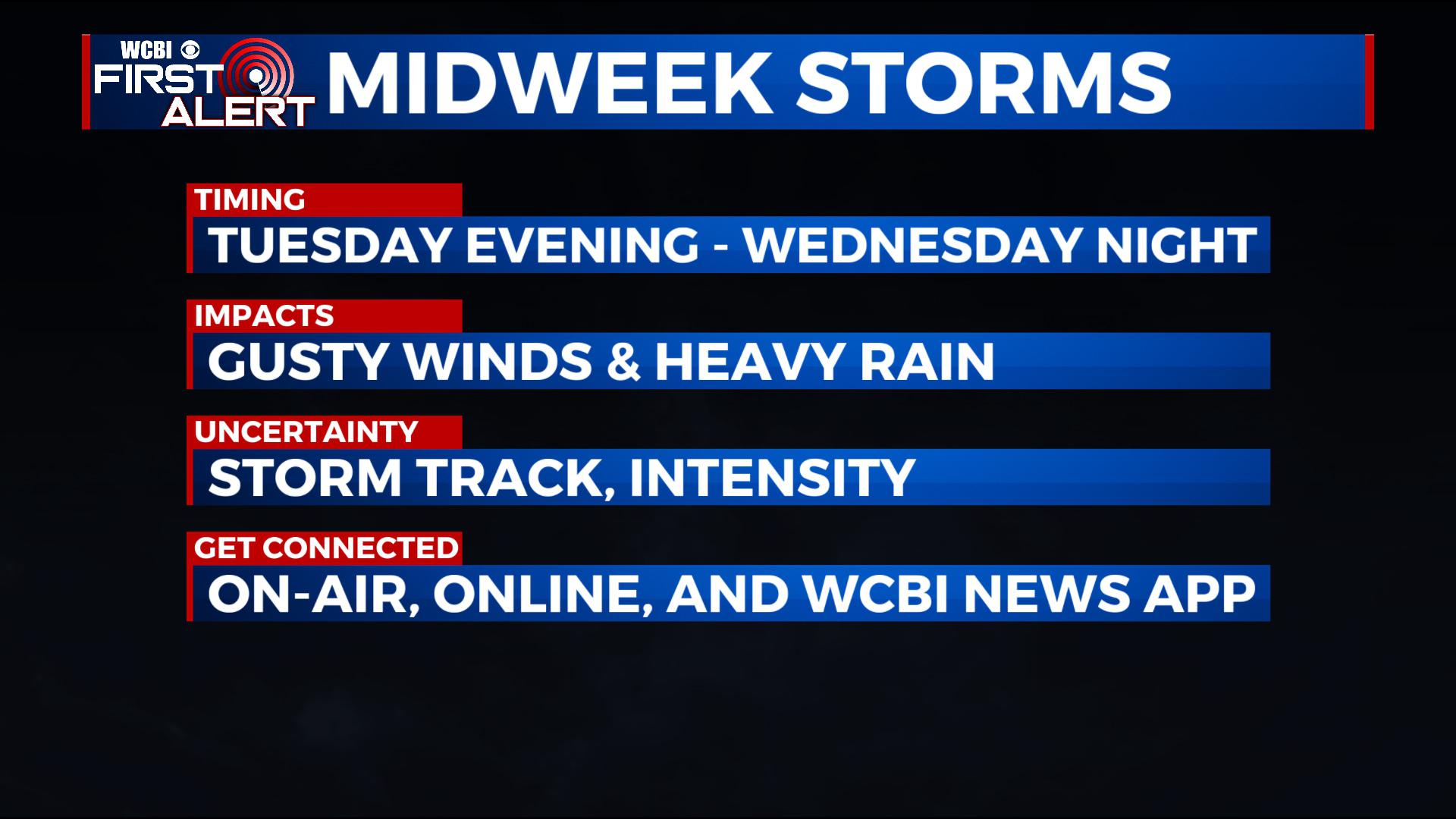
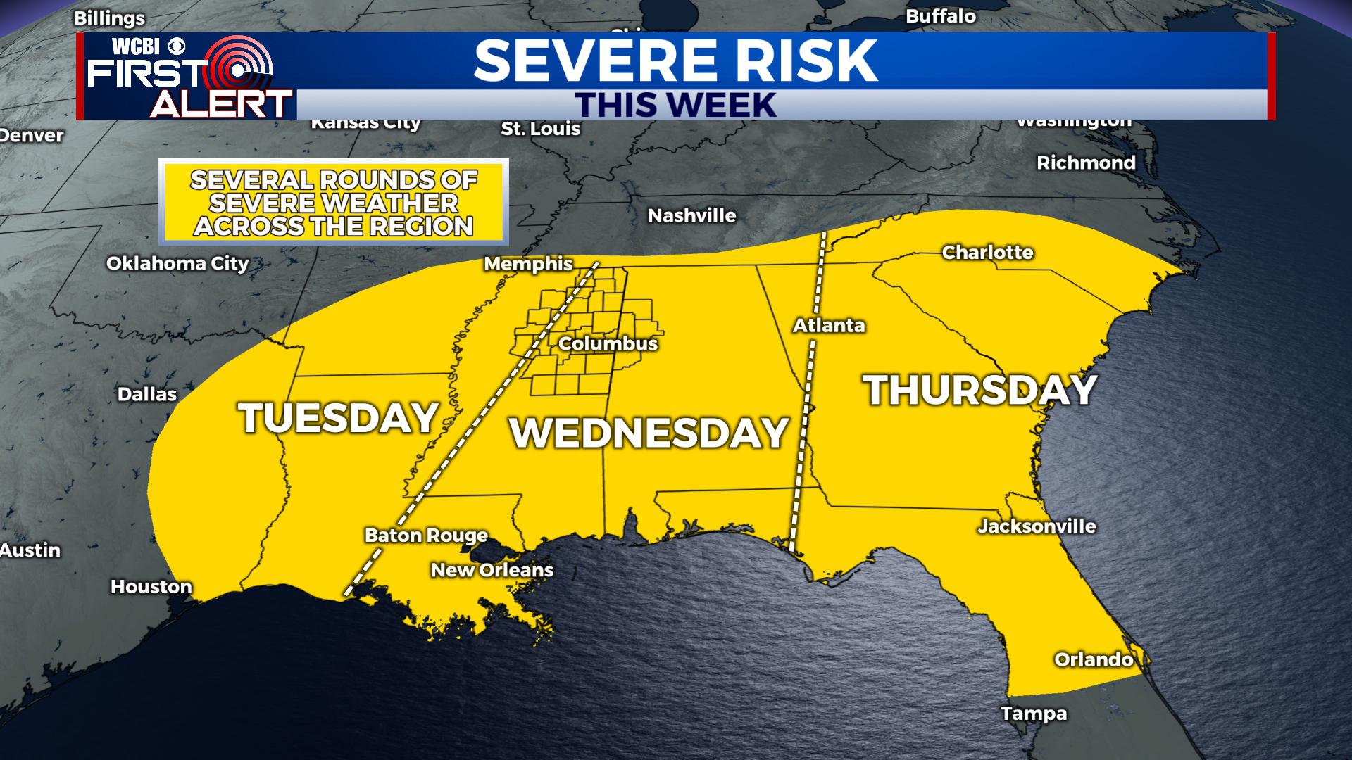 TUESDAY: We’ll see batches of showers and storms in the region, with some heavy rain possible. Overall Tuesday, the main threat for strong to severe storms will be to the west, but a few severe storms capable of large hail and damaging winds can’t be ruled out locally, particularly Tuesday evening and Tuesday night. Highs Tuesday are in the upper 60s and low 70s again, with south winds 5-15 mph. Lows at night are only down into the low 60s with rain and storms likely.
WEDNESDAY: Some uncertainty remains with how Wednesday plays out. There’s a chance for strong to severe storms again in parts of our area, but it all depends on how the track of the low moves. A track further north means we’d be in play for severe weather, while a track to the south of us would keep us out of severe weather. Regardless of severe weather or not, we’ll anticipate it to be a wet day with rain and thunderstorms likely. Highs generally remain in the 60s with a few low 70s not out of the question. Rain and storms likely remain in the region Wednesday Night, but we anticipate any threat for severe weather to end by Wednesday Night. Lows fall into the upper 40s and low 50s as the front passes by.
THURSDAY: Currently, we anticipate the front to clear through at the latest by Wednesday Night or early Thursday Morning before sunrise. That would end the chance for strong storms, but some areas of rain are expected to remain behind the front at least through Midday. Thursday will bring falling temperatures and breezy north and west winds. By the afternoon, temperatures will be in the low 40s with lows Thursday Night dropping into the low 30s.
FRIDAY: Cooler air filters on in, with more seasonal highs in the 50s and lows in the 30s. Look for a mix of sun and clouds.
NEXT WEEKEND: There are some signals for more showery weather, but we don’t have a lot of confidence now. As such, we’ll advertise a mix of sun and clouds with some isolated showers possible and seasonal highs in the 50s.
STAY CONNECTED WITH @WCBIWEATHER ON FACEBOOK, INSTAGRAM AND TWITTER AND THROUGH THE WCBI MOBILE APP.


Leave a Reply