Chilly Next 2 Days, Late-Week Storms
Late-Week System
MONDAY NIGHT: Clear and cold tonight with lows in the mid to upper 20s. Wind chill values may be down into the low 20s or even upper teens.
TUESDAY: Lots of sunshine is going to be enjoyed but it won’t warm us up much. Look for highs in the 40s. Blustery NW winds between 10 and 15 are set to continue.
TUESDAY NIGHT: Another clear and cold night is on track with lows in the 20s. The wind will become light and variable.
WEDNESDAY: Mostly sunny skies continue. More seasonable highs in the low 50s should make a return to north Mississippi and west Alabama.
THURSDAY: Southerly winds return and that should allow for warmer highs in the lower 60s. They’ll also usher in more moisture and that in turn should lead to more clouds and a chance of showers.
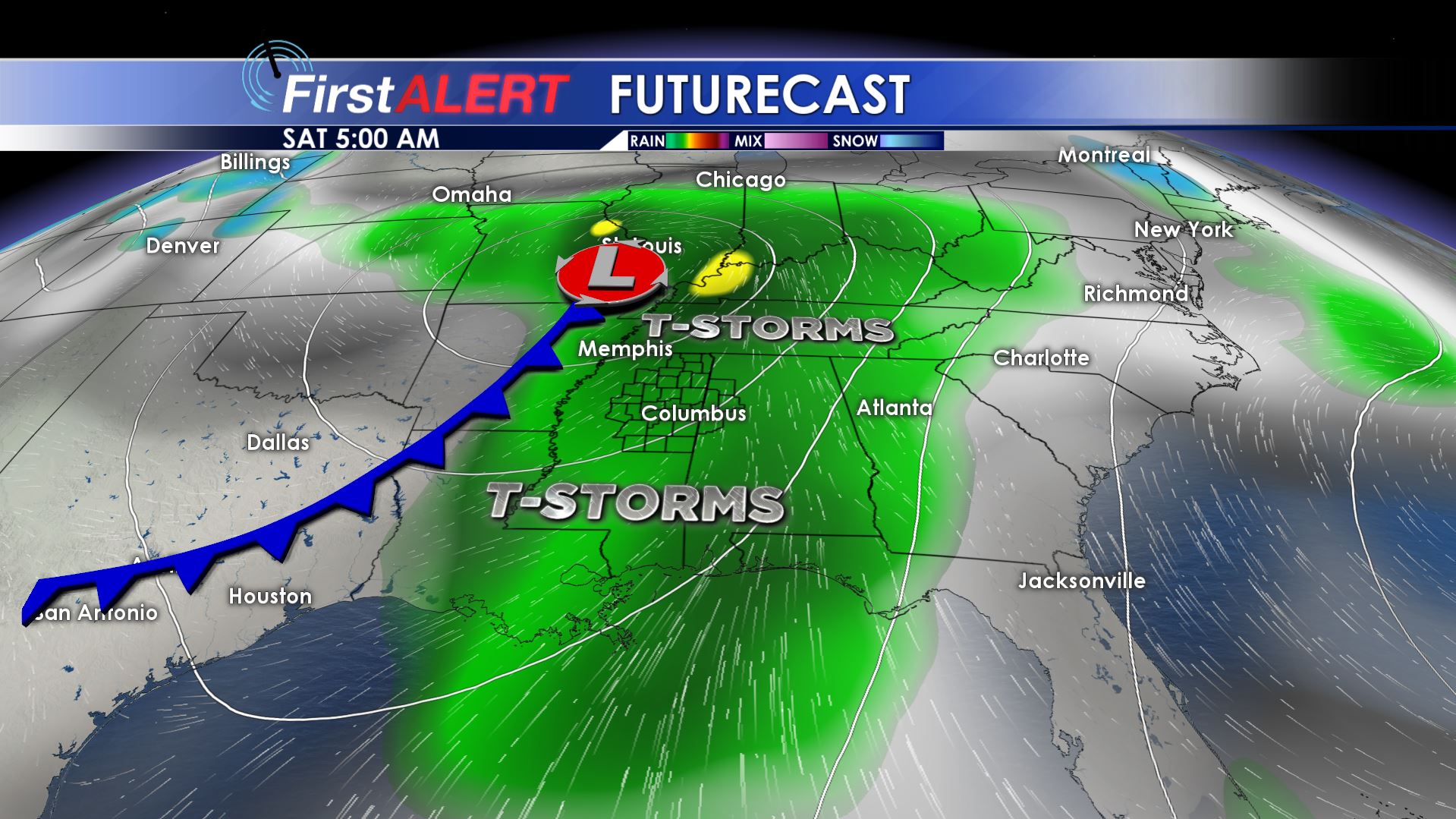
FRIDAY-SATURDAY: Temperatures warm further into the 60s and 70s. Widespread rain and storms are looking more and more likely between Friday afternoon and Saturday morning. Heavy rain and strong/severe storms are possible during this time as well. Stay with WCBI Weather during the coming days as we continue to refine the forecast details.
SUNDAY: A quiet day is likely in the wake of Saturday’s system. At this point we’re expecting seasonable highs in the 60s along with partly cloudy skies.
Follow @WCBIWEATHER on Facebook, Twitter, Instagram, and Snapchat


Leave a Reply