Warmer Air Returning, Fri. Night-Sat. Morning Storms
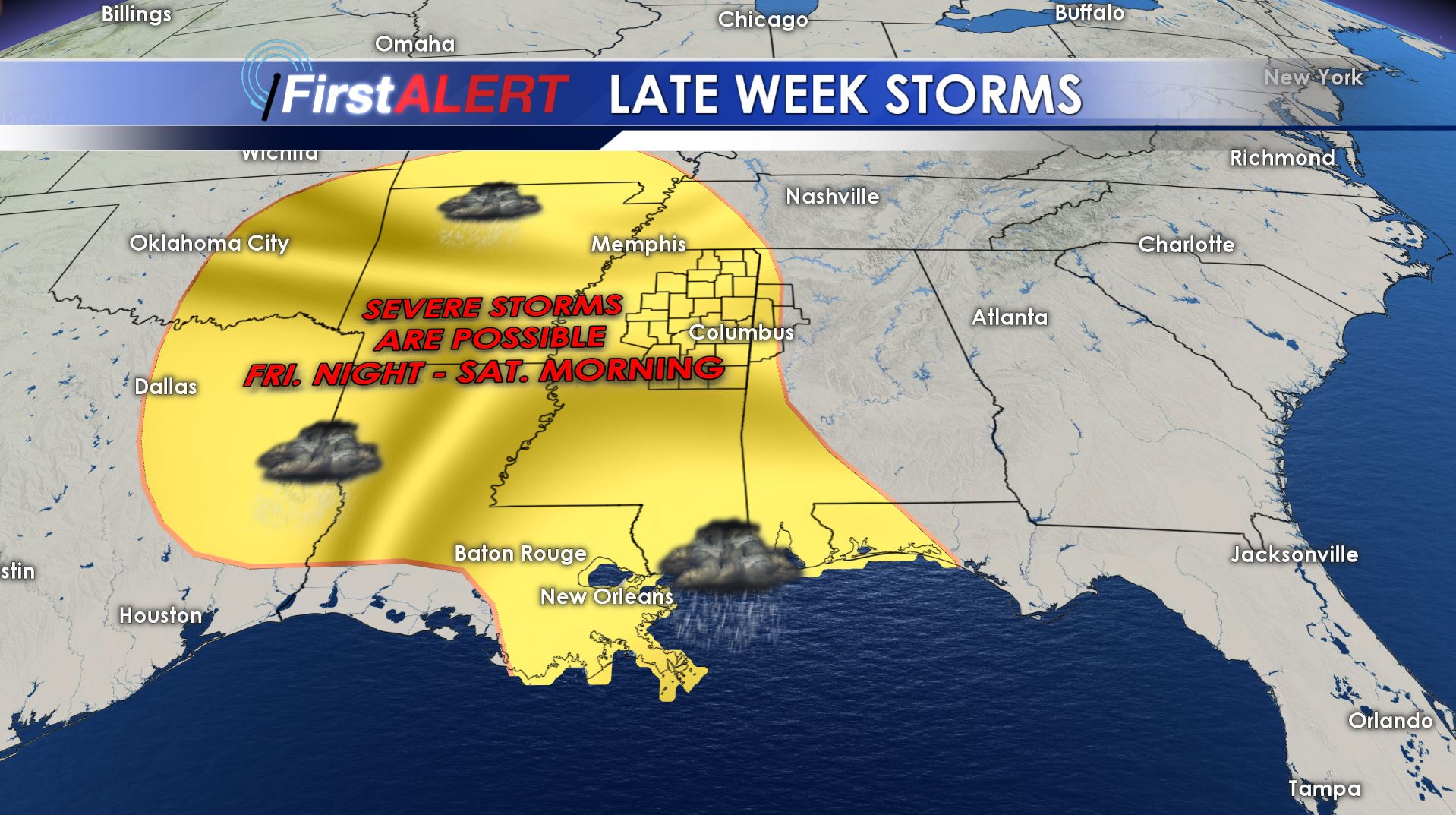
Late Week Storms
WEDNESDAY NIGHT: Mostly clear skies during the evening will gradually fill in with clouds as the night goes on. Evening temperatures may cool into the mid to upper 30s with milder 40s returning by daybreak Thursday.
THURSDAY: Mostly cloudy skies are expected along with spotty showers. The overall rain chance is just 30%. Southerly winds between 5 and 15 mph should allow for warmer highs in the lower 60s by the afternoon hours.
THURSDAY NIGHT: Southerly flow is going to continue and that means warmer lows in the upper 50s to around 60. Scattered rain showers will remain possible through the night.
FRIDAY: Look for mostly cloudy and breezy conditions during the day. Scattered rain showers, perhaps even a storm, are going to remain possible. Highs are expected to be in the upper 60s to lower 70s.
FRIDAY EVENING – SATURDAY MORNING: The potential for strong to severe storms continues. The latest data suggest the heaviest storms in our area may occur between midnight and noon Saturday but we’ll continue to adjust the timing as the event nears. Damaging wind gusts look to be the primary threat with a secondary threat of an isolated tornado or two somewhere in the region. Storms may also produce heavy rain with some locations getting 1” or more. Lows fall only in the 60s.
SATURDAY AFTERNOON: Some rain could linger but active weather should migrate to our east. Temperatures top out in the 70s.
SUNDAY: Plan on a mix of sun and clouds along with quiet conditions. Mild highs around 70 remain in the forecast.
Follow @WCBIWEATHER on Facebook, Twitter, Instagram, and Snapchat


Leave a Reply