Storms possible tonight
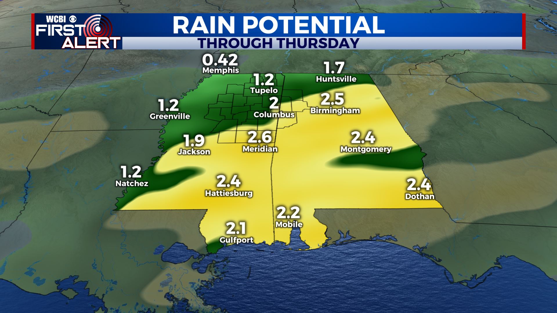
SUMMARY: Rain and a few storms will be possible through Thursday. Total rainfall through Thursday may range from about 1/2” to over 3”. Sunny weather is on schedule for the end of the week and upcoming weekend.
MONDAY NIGHT: Areas of showers and storms are possible. A few locally strong storms with hail and damaging wind can’t be totally ruled out. Mild lows in the low 60s.
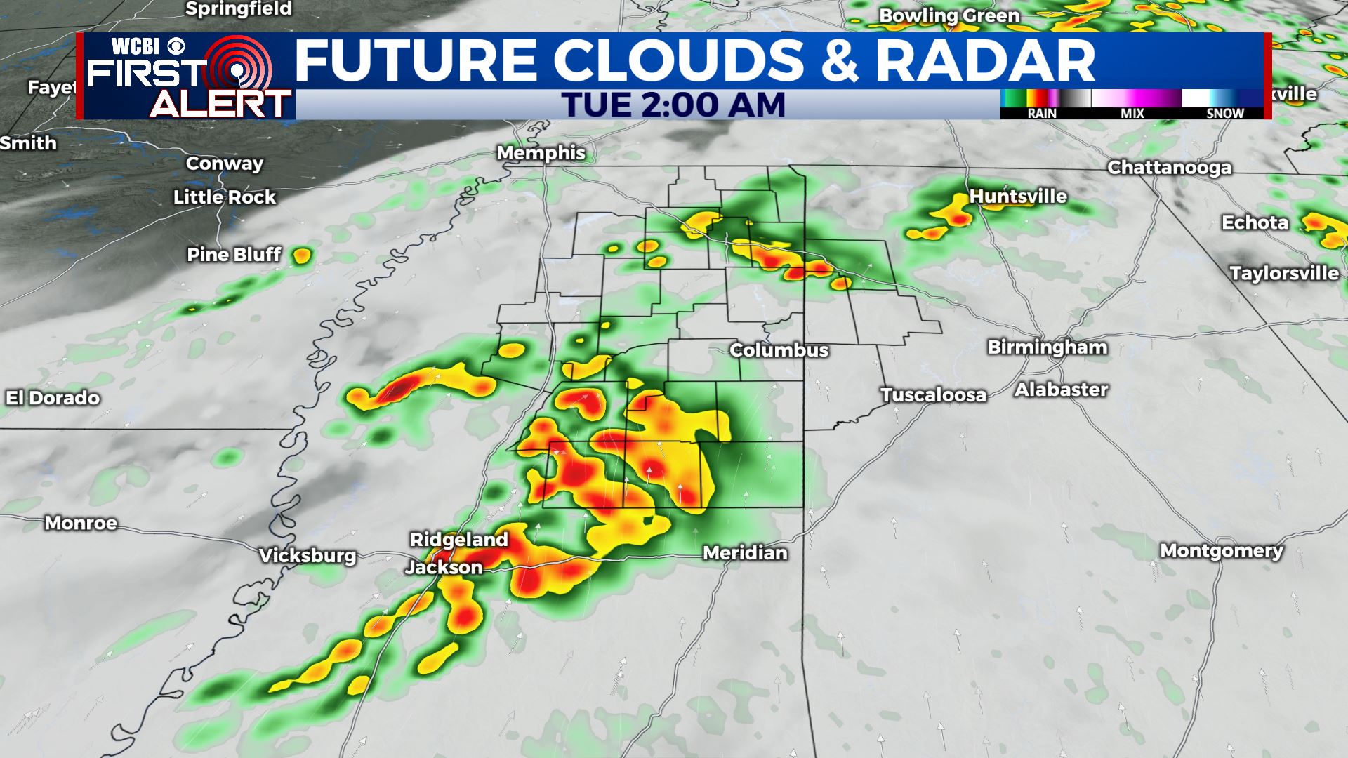
TUESDAY: Mostly cloudy with a 50% chance of rain. The best opportunity for rain looks to be during the morning hours. Highs in the upper 60s to around 70. Winds WNW around 10 mph.
TUESDAY NIGHT: Cloudy and cooler with rain developing. Lows in the lower 50s.
WEDNESDAY: Areas of rain. Highs in the 50s. The chance of rain is 80%.
WEDNESDAY NIGHT: Areas of rain continue. Lows in the upper 40s to around 50.
THURSDAY: Mostly cloudy with additional rain likely. The chance of rain is 70%. Highs in the upper 50s.
FRIDAY: Sunny and seasonably cool. Highs from the mid 50s to around 60. Lows in the low 30s Friday night.
SATURDAY: Sunny. Highs around 60. Lows in the mid to low 30s Saturday night.
SUNDAY: Mostly sunny to partly cloudy. Highs in the mid 60s.
Follow @WCBIWEATHER on Facebook, Twitter, Instagram, and on the WCBI News App


Leave a Reply