Wet & Stormy Through Saturday
headlines
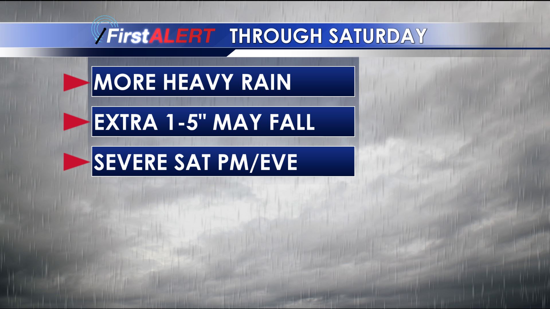
Additional heavy rain is likely in the region during the next 3 days. Another 1-5″ or more may fall between now and Saturday night and that will lead to additional flooding concerns. While isolated strong storms are possible Friday night our best chance overall for severe weather looks to be Saturday afternoon and evening. All modes of severe weather remain on the table during that time frame.
WEDNESDAY NIGHT: Cloudy and damp weather will continue through the evening with rain chances staying low in the near term. Additional showers should develop across our southern counties during the 2nd half of the night. Look for lows mainly in the 40s with variably winds between 3 and 8 mph.
THURSDAY: Showers are going to continue to develop and lift from south to north across the region during the day. The chance of rain is 80%. Temperatures may be slow to warm out of the 40s and into the low to mid 50s. A cool northeasterly wind sets up between 5 and 15 mph.
THURSDAY NIGHT: More rain is likely with the highest concentration and intensity focused northwest of Columbus. Lows hover around 50.
FRIDAY: Warmer 60s may surge back in from the south but the chance of rain continues at 80%. Once again the best coverage and heaviest rainfall rates are expected to be located northwest of Columbus during the day.
FRIDAY NIGHT: Temperatures remain in the 60s with more rain and storms possible.
SATURDAY: We’re still expecting highs well into the 70s as southerly flow sets up. Morning rain may be locally heavy across the northern 1/2 of our area but it’s expected to abate a bit by early afternoon. Once we get into the afternoon our attention turns to the potential for scattered strong to severe storms. At this point all severe weather threats remain on the table so be sure to stay tuned for updates as we refine the forecast. Storm chances will end from west to east during the evening/night once a cold front passes on through.
SUNDAY & MONDAY: A much needed dry stretch appears on track. We should be able to enjoy some sunshine and seasonable temperatures in the 50s and low 50s with overnight lows dipping back into the 30s.
Follow @WCBIWEATHER on Facebook, Twitter, and Instagram


Leave a Reply