Frost/Freeze Expected Tonight
SEE THE FULL WEBCAST DISCUSSION INCLUDING FUTURECAST HERE.
TONIGHT: A frost or freeze threat returns to the region. We expect lows in the mid to low 30s so you may need to protect your tender plants yet again.
MONDAY – TUESDAY: Fair but seasonally cooler temperatures are expected with highs only in the 60s. We also may very well see frost area-wide as lows fall into the low 30s and even upper 20s Sunday night into Monday morning.
WEDNESDAY: We’re back to seasonal temperatures in the low 70s with a mix of sun and clouds.
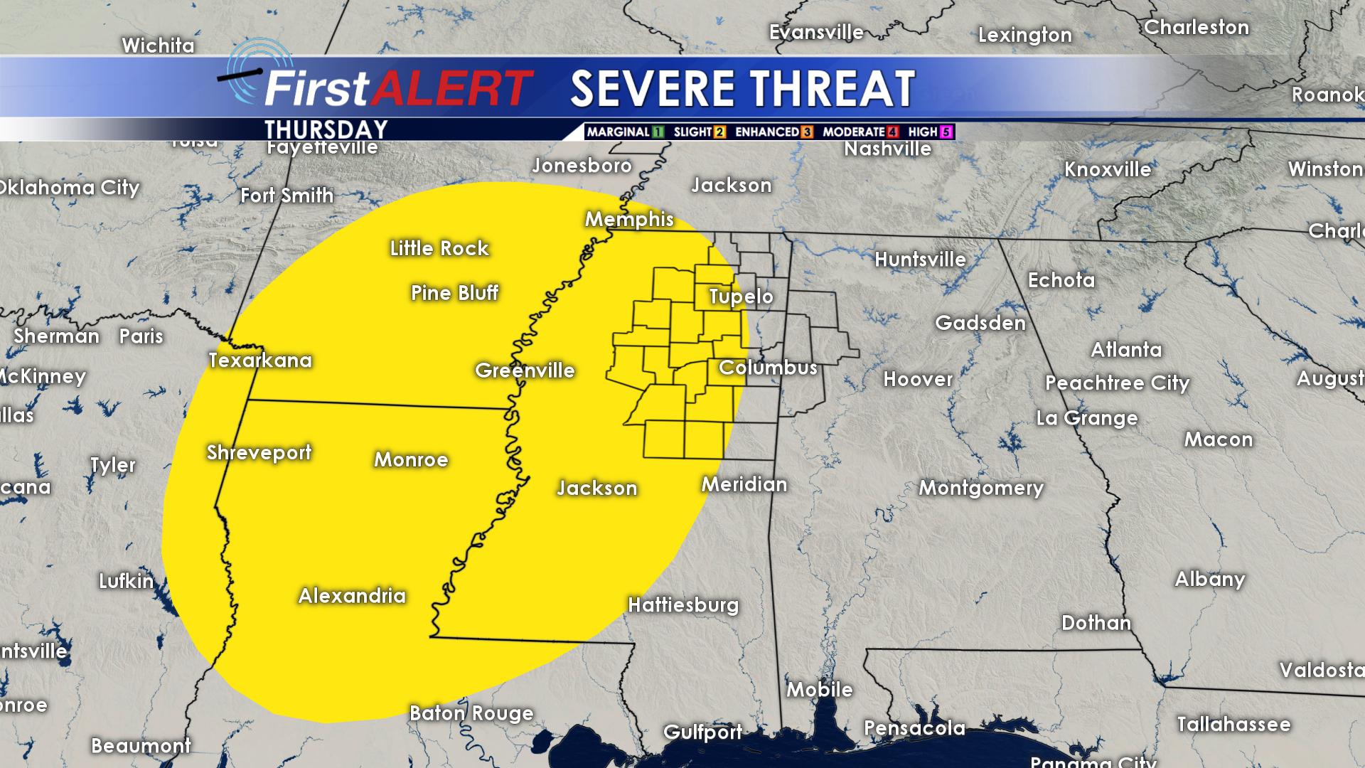
THURSDAY – FRIDAY: Another storm system winds up and heads our way. We expect most of the storms to happen on Thursday into Thursday Night, but we’ll keep some on the board on Friday. Some storms will be strong with damaging winds and large hail as the main threat. Look for temperatures in the lower 70s with lows in the 50s at night.
SATURDAY: Looking like a great day as temperatures climb into the upper 70s and even low 80s. We’ll call it partly cloudy and dry for not.
SUNDAY: Scattered showers and storms are back on the board as temperatures climb back into the low 80s. We’ll monitor.
Follow @WCBIWEATHER on Facebook, Twitter, and Instagram


Leave a Reply