Wednesday showers and storms
COLUMBUS, Mississippi (WCBI) – A dry evening to a rainy morning. Don’t forget your umbrella!
TUESDAY NIGHT: Calm conditions this evening. Drier air will continue pulling in from the NW, with passing clouds. Temperatures tonight will drop into the middle 60s.

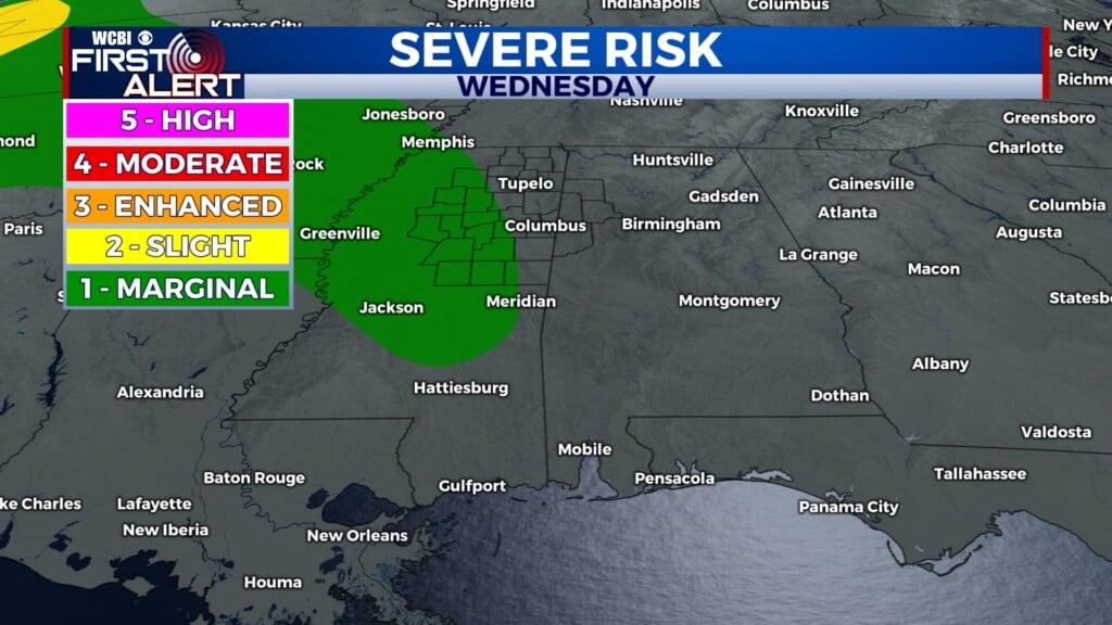
WEDNESDAY: Rain chances return for the middle of the week, as the stalled boundary is locking moisture in place across the Twin State region. A bowing line of showers and storms will track West to East across North and Central MS through the morning and into the afternoon. Some could become strong to severe, with damaging wind being the highest concern. A Level 1 – Marginal risk has been placed across some of our western counties. Isolated storms will be possible from the afternoon and into the evening. Afternoon high temperatures will reach the middle 80s, with lows dropping into the lower 70s.
THURSDAY: Moisture maintains though rain chances will be much more isolated than Wednesday. Afternoon high temperatures look to reach the lower 90s. There will be a mostly to partly cloudy look to the sky. Lows will continue to be in the low to middle 70s.