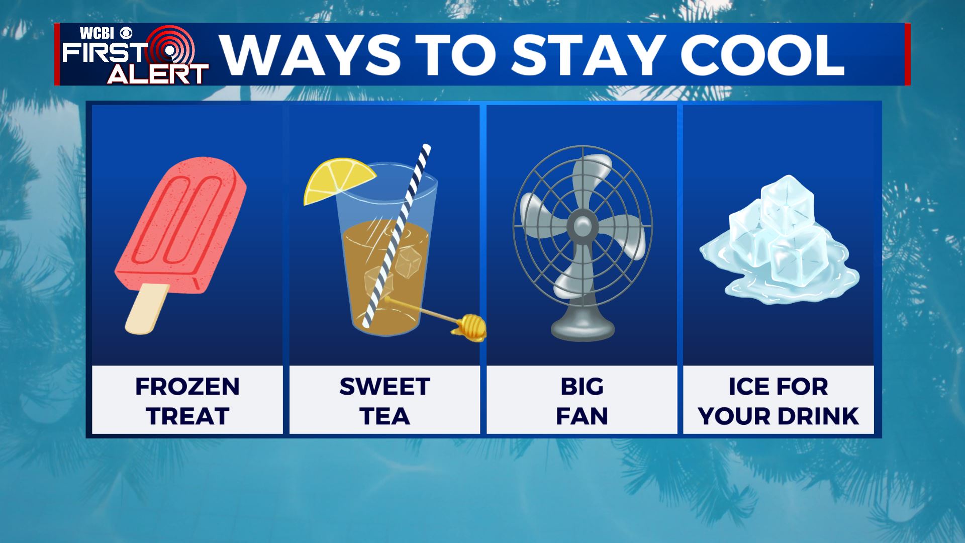
Dangerous heat & humidity to stick around
SUMMARY: Extreme heat and humidity will remain in place through the coming weekend. While a few stray storms are possible Wednesday, rain chances overall will take a back seat to sun in the near term. Higher odds of rain (and cooler temps) look to return by Sunday and early next week.
TUESDAY NIGHT: Isolated evening showers and storms then partly cloudy. Muggy lows in the mid 70s. Light wind.
WEDNESDAY: Partly cloudy. A 20% chance of a few stray storms. Highs in the mid 90s with heat indices pushing if not surpassing 110°. Winds NE 2-6 mph.
WEDNESDAY NIGHT: Clear and muggy. Lows in the mid 70s.
THURSDAY & FRIDAY: Mostly sunny to partly cloudy. Very hot & humid. Highs in the mid to upper 90s with heat indices in the 100s. Lows in the mid 70s.
SATURDAY: Partly cloudy, hot, and humid. Highs in the mid to upper 90s with heat indices well into the 100s. A 20% chance of pop-up storms.
SUNDAY & MONDAY: A 40-50% chance of showers and storms with a cold front approaching the region. Temperatures will into the low 90s and 80s.
Follow @WCBIWEATHER on Facebook, Twitter, Instagram, and the WCBI News App


Leave a Reply