A cooler more refreshing fall day for Tuesday
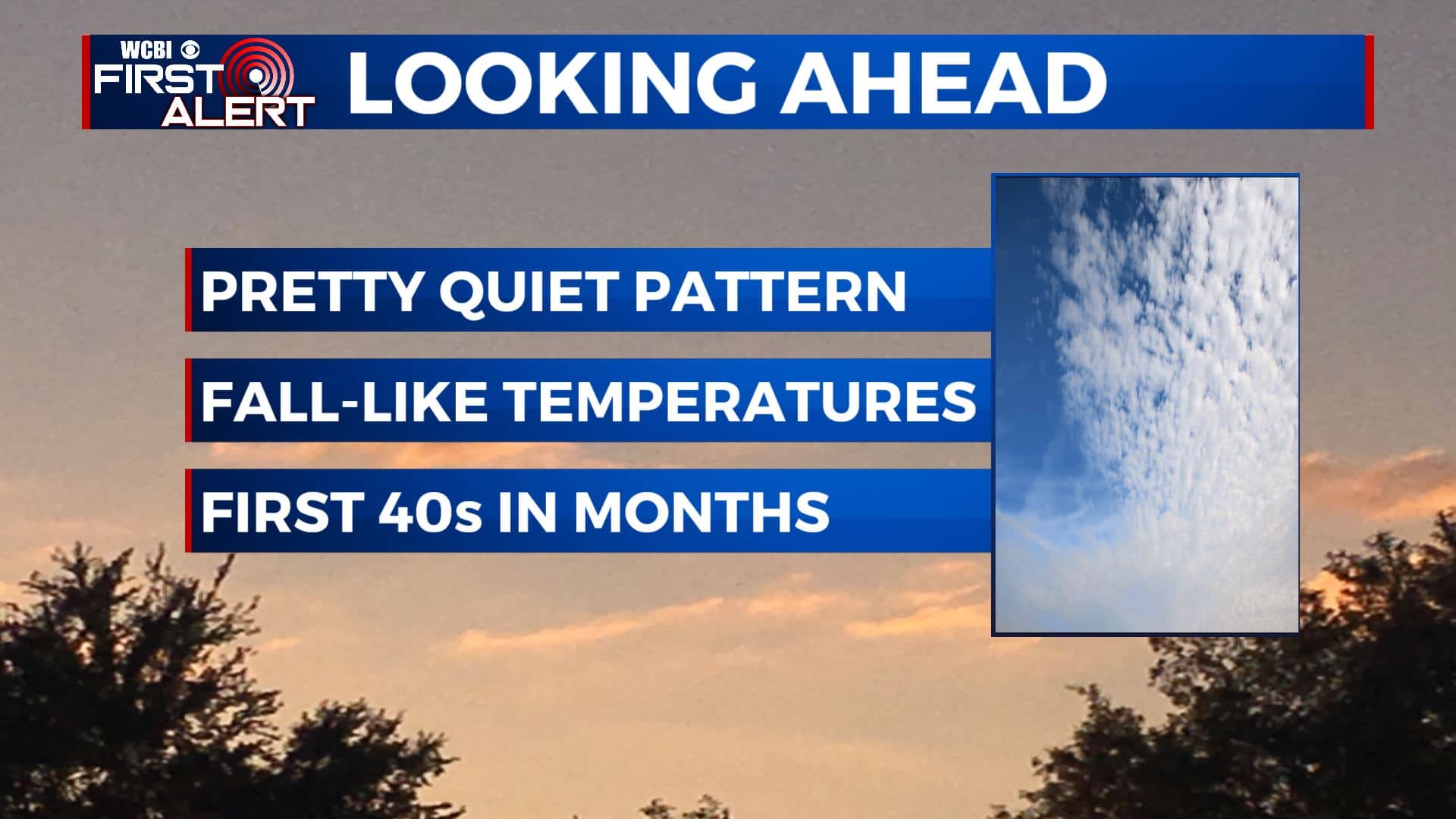
SUMMARY: The awesome fall weather is here to stay for the rest of the workweek and into the weekend. One cold front pushed through on Monday. The second one will arrive Thursday. We will be in the 60s for highs and lows in the 40s by Friday. We’ll be dry and sunny overall.
TUESDAY: We’re waking up this Tuesday morning on a cooler note in the 50s with cloud cover. A mix of sun & clouds with highs ranging from the upper 60s to the low 70s. Breezy NW winds 10-15 mph will help to continue filter in that cooler. drier air into the region.

TUESDAY NIGHT: The last time the temperatures in Columbus reached the 40s was on May 12th. Most likely we’ll get into the 40s for lows Tuesday night into Wednesday morning. Mainly clear skies.
WEDNESDAY: Picture-perfect, nice fall weather is about the only way to describe the second half of the workweek as we end September and begin October. Wednesday will be a touch warmer with highs in the mid to upper 70s. Skies mostly sunny with hardly a cloud in sight.
THURSDAY-FRIDAY: A second cold front will bring in another shot of cooler air for Friday, dropping our highs into the upper 60s. Fortunately, we’re not expecting any rain with this second front so skies will remain mostly sunny. Overnight lows will be in the mid to upper 40s.
WEEKEND: We’ll see a few more clouds build in for the weekend. Not a lot of moisture is likely anytime soon but some showers could develop Sunday. Temperatures will top out in the lower to mid 70s each afternoon with overnight lows in the upper 40s to lower 50s.
Stay connected with @WCBIWEATHER on Facebook, Twitter, Instagram, and the WCBI News App


Leave a Reply