A couple rounds of rain
COLUMBUS, Mississippi (WCBI) – Our end of the week rain chance will dry out for the weekend. Another system will move in quickly for the beginning of next week. We are definitely in the Spring season!
THURSDAY NIGHT: Cloud coverage continues to increase. A few showers are possible after midnight toward daybreak. Low temperatures will drop to the lower 50s.
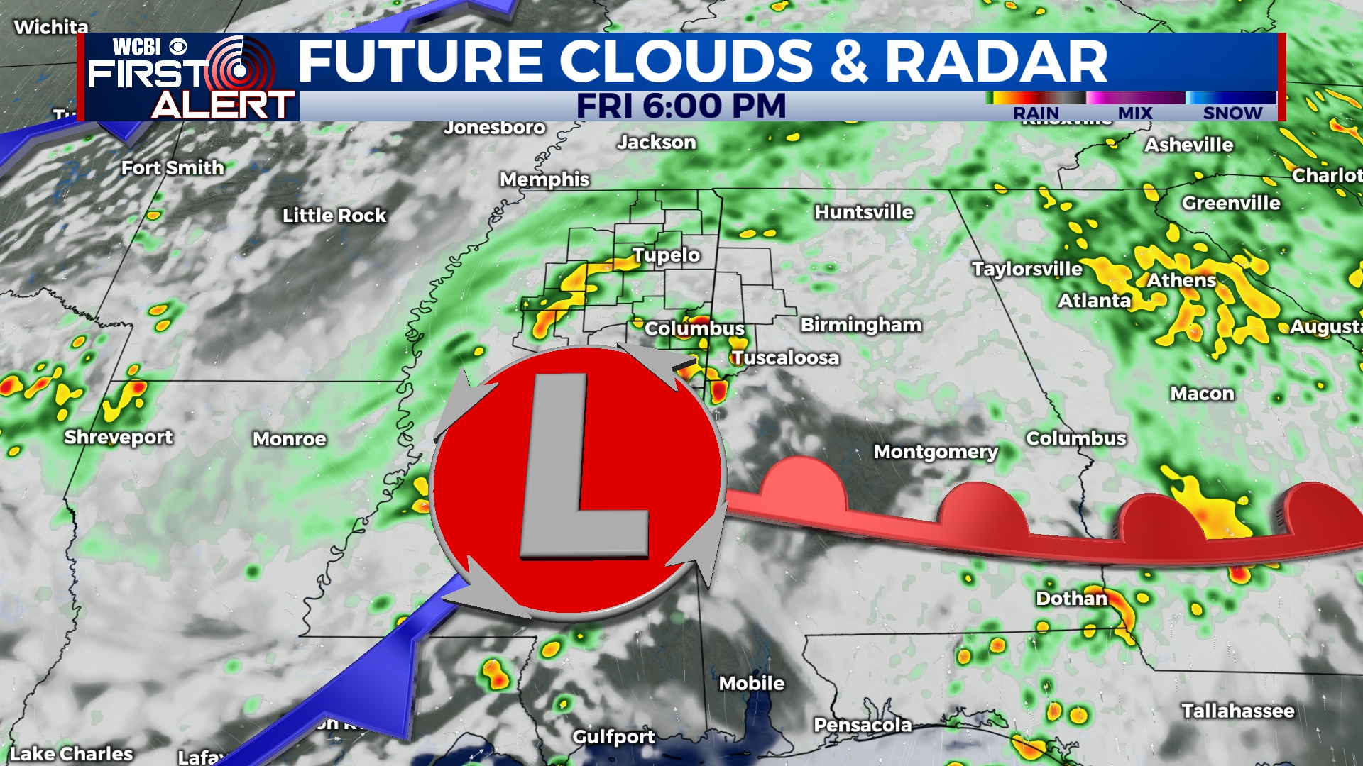
FRIDAY: Rain showers are expected throughout or Friday, as a Low Pressure system moves East across central Mississippi. Some heavier showers are possible, but we don’t expect any major flooding or severe weather. Rain totals should average near half an inch. High temps will be cooler, in the low to middle 60s. Lows will remain in the lower 50s.
WEEKEND: A weak cold front will move across northern Mississippi early Saturday morning, allowing for a slow clearing of the heavy cloud coverage the rest of the day. High temperatures will continue to be a bit cooler, in the middle 60s. Sunday morning will be chilly, expected to be in the upper 30s. By Sunday afternoon, sky conditions should be clear and sunny with high temperatures back in the lower 70s.
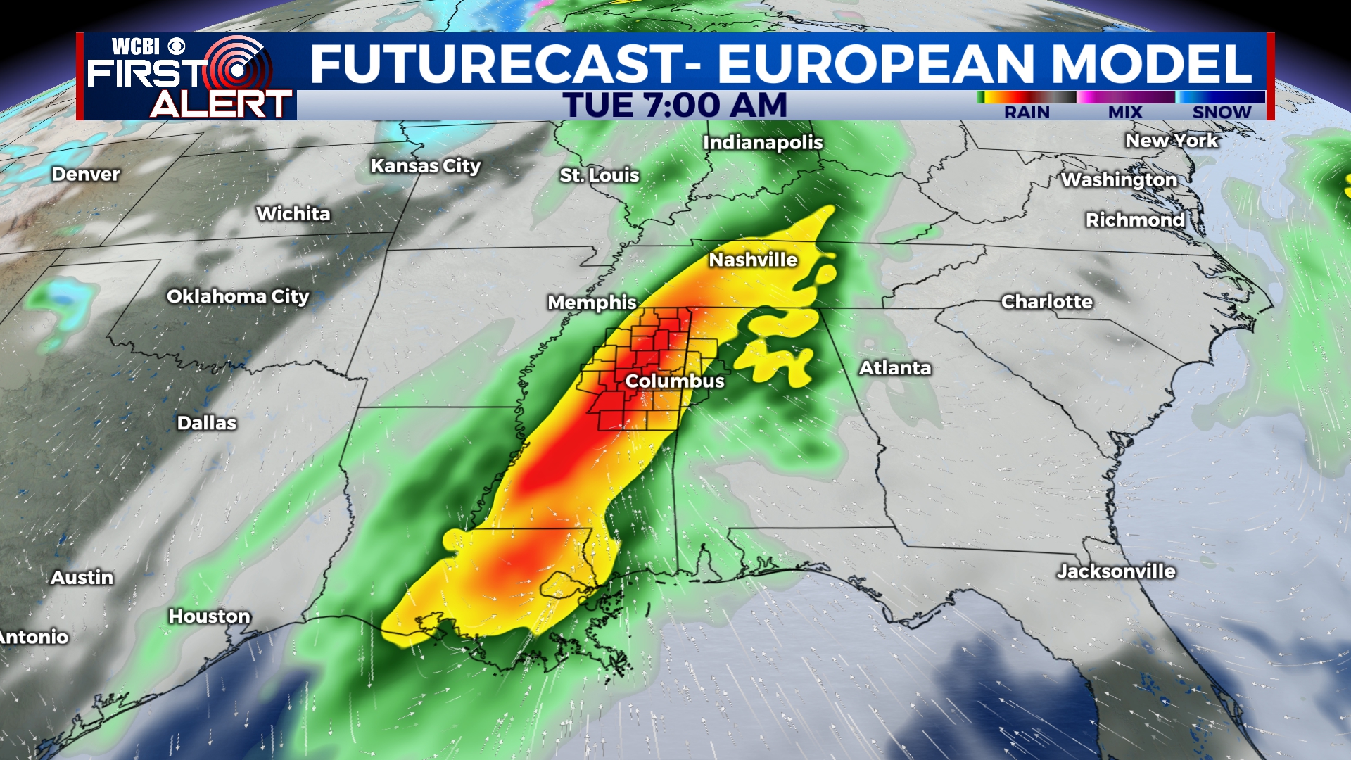
NEXT WEEK: Clouds quickly build in Monday ahead of the next system set to bring showers and storms to the region Monday night into Tuesday. At this point, storm energy looks limited…but shear is impressive. Stay tuned for updates!


