A few more hours of rain before the sun
COLUMBUS, Mississippi (WCBI)- Power outages and black ice remain on roadways for NW Mississippi. Rain continues to fall through our Thursday. Sun returns into the forecast late morning Friday. Temperatures will be warming up through the weekend!
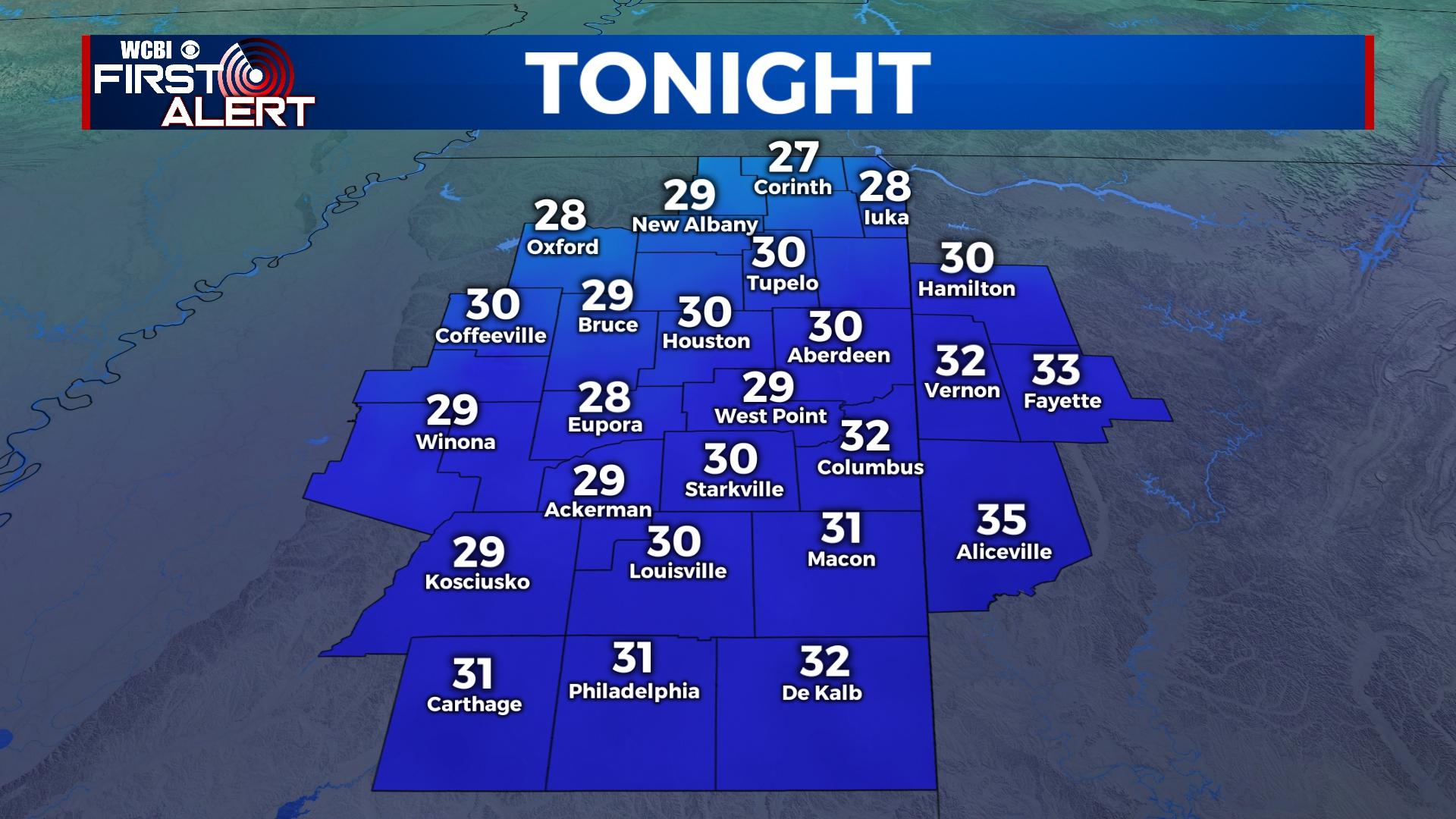
THURSDAY NIGHT: Rain showers will continue through the evening hours, eventually pushing SE overnight. Temperatures tonight are falling close to freezing once again. The dropping temperatures near freezing will bring back the risk of seeing more patchy black ice on roadways, especially bridges.
FRIDAY: The rain will be gone! The cloud coverage will be clearing out throughout the morning. By the afternoon, the bright yellow thing will return to the sky. That would be the sun, in case you have forgotten in the 5 days it has been absent. High temperatures will still be chilly, in the middle 40s. Clearer sky conditions will have temperatures dropping in the middle 20s overnight.
WEEKEND: Temperatures will be warming up! Saturday, temperatures will be in the middle 50s with a mostly clear sky. By Sunday, the middle 60s! Clouds will fill back into northern Mississippi overnight Saturday into Sunday. Overnight temperatures will be in the middle 30s to lower 40s.
NEXT WEEK: High temperatures will continue to be mild, in the middle to upper 60s and possibly even the lower 70s. Cloud coverage will stay consistent from Sunday, partly to mostly cloudy. Light rain chances begin Tuesday night. There is a chance of seeing some storms, but with that system being a week away, there is still some uncertainty. Stay tuned for those details over the weekend and next week.


