A winter mix is possible to the north, then much colder air arrives tomorrow
COLUMBUS, Mississippi (WCBI) – SUMMARY: We continued our gradual warming trend with highs in the mid-50s today.
TONIGHT: Showers arriving overnight. Overnight lows in the low-40s. Calm wind. Chance of rain: 80%.
THURSDAY: Scattered showers will come to an end around noon. Early morning high temperatures in the low-40s. Once the rain ends, temperatures will drop into the low-to-mid 30s by the late afternoon. Northwest wind 5-15 mph. Chance of rain: 60% before noon, then 10% after 12pm.
THURSDAY NIGHT: Mostly cloudy and cold. Lows around 20 degrees. North wind 5-10 mph.
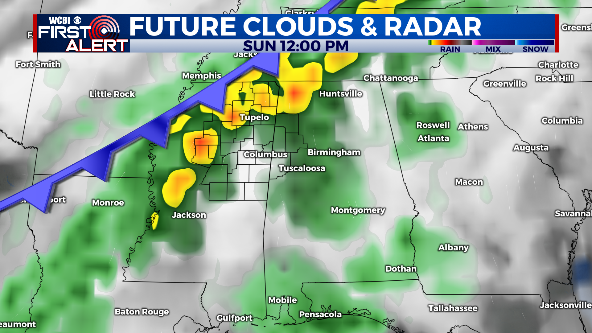
EXTENDED FORECAST: Another strong cold front will arrive to the region this weekend, producing scattered showers and thunderstorms Saturday night. A few storms may be strong with heavy rain, frequent lightning, and gusty winds, especially on Sunday. The cold front will push through the region Sunday afternoon, and temperatures will drop into the low-30s overnight. Monday and Tuesday are trending toward sunny and cool with highs in the forties.