Active Storms Through this Evening
Our viewing area remains under a Severe Thunderstorm Watch until 10:00 PM tonight, drier conditions expected for Sunday
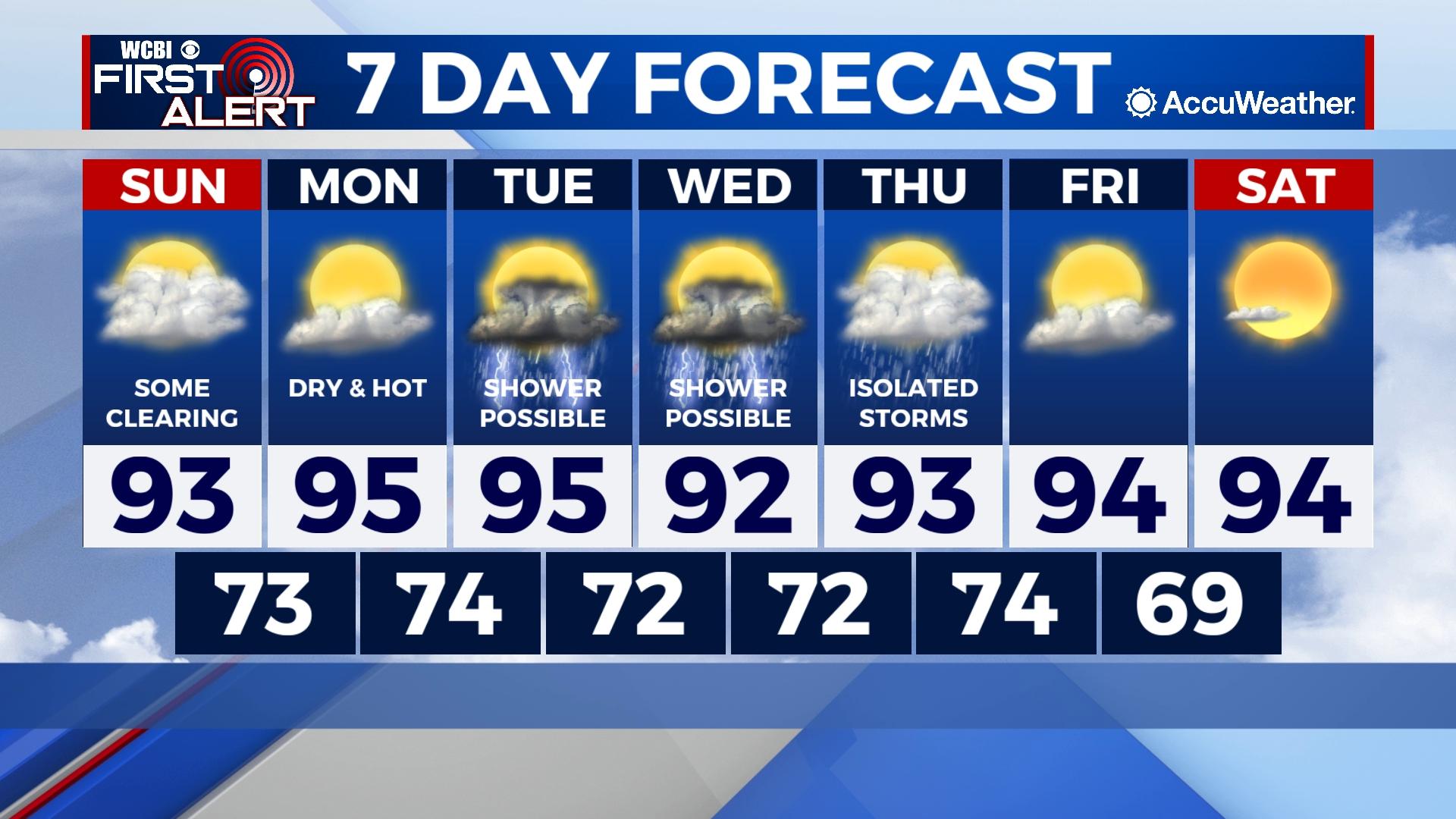
COLUMBUS, Mississippi (WCBI) – Strong storms impact our area this evening. Sunday, we’ll see some clearing with highs in the low 90s and drier air following the passing surface front.
SATURDAY NIGHT: Widespread storms will impact NE Mississippi and West Alabama through the evening as all of our counties are already included in a Severe Thunderstorm Watch until 10:00 PM CDT. Storms are likely to contain gusty winds, small hail, heavy rain, and frequent lightning. Stay indoors!
SUNDAY: Expect some clearing as the surface front will have passed. Drier air will settle in allowing our high temps to drop to the low 90s and overnight lows to the low 70s. A 20% chance of showers and storms will be present with storm activity most likely in the afternoon.
NEXT WEEK: A mix of sun and clouds with afternoon/evening storm chances staying in the forecast. Daytime highs will range through the 90s with lows in the 70s. Dew points drop just a little lowering our humidity.