Additional heavy rain and storms Wednesday
COLUMBUS, Mississippi (WCBI) – One last round of heavy rain and storms is in store for the state Wednesday before cooler and drier air finally arrives Thursday.
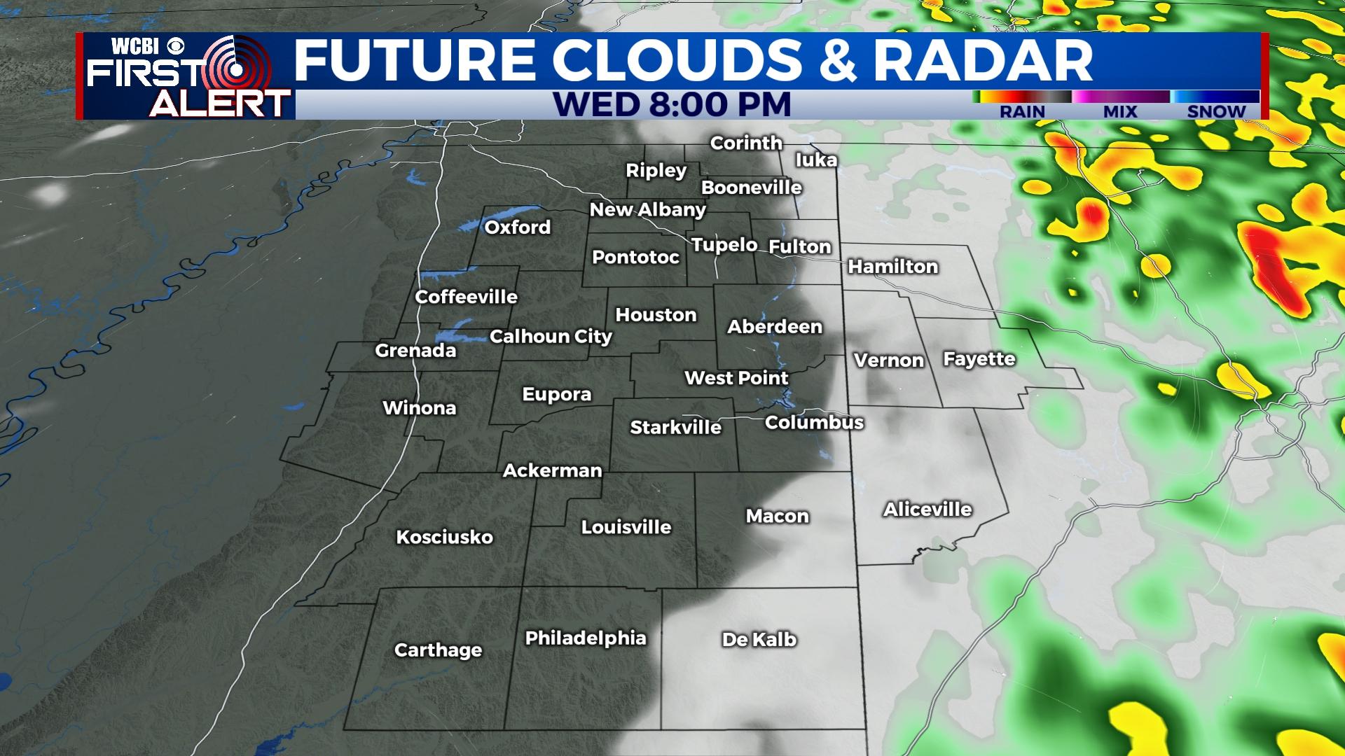
WEDNESDAY: Showers and storms will continue much of the state, becoming locally heavy at times and cause additional flash flood concerns. An additional 2-4″ of rain is possible, and a flood watch remains in effect for the entire area. Separate to the flood risk, severe weather will become possible by the early afternoon from the Golden Triangle southward into the Pine Belt. Here, storms could develop and become severe with all hazards possible. Eventually, the rain and storms will move out by 5-6p.
END OF WEEK: Cooler and drier weather returns to the state, finally bringing back the sunshine! Highs will drop back into the 50s.
WEEKEND: Clouds may increase occasionally as a system passes well south of the region. For now, no precipitation is expected…but highs may drop back into the lower 50s or even upper 40s.
NEXT WEEK: Generally calm weather is expected, but the overall pattern will remain active and increasingly cold. For now, no major chances of precipitation are in the forecast through the middle of next week. Highs will stay a bit below average in the 40s to low 50s.


