Afternoon storms sticking around
COLUMBUS, Mississippi (WCBI) – Day-to-day coverage of rain & storms may vary, but rain chances continue for the next seven days.
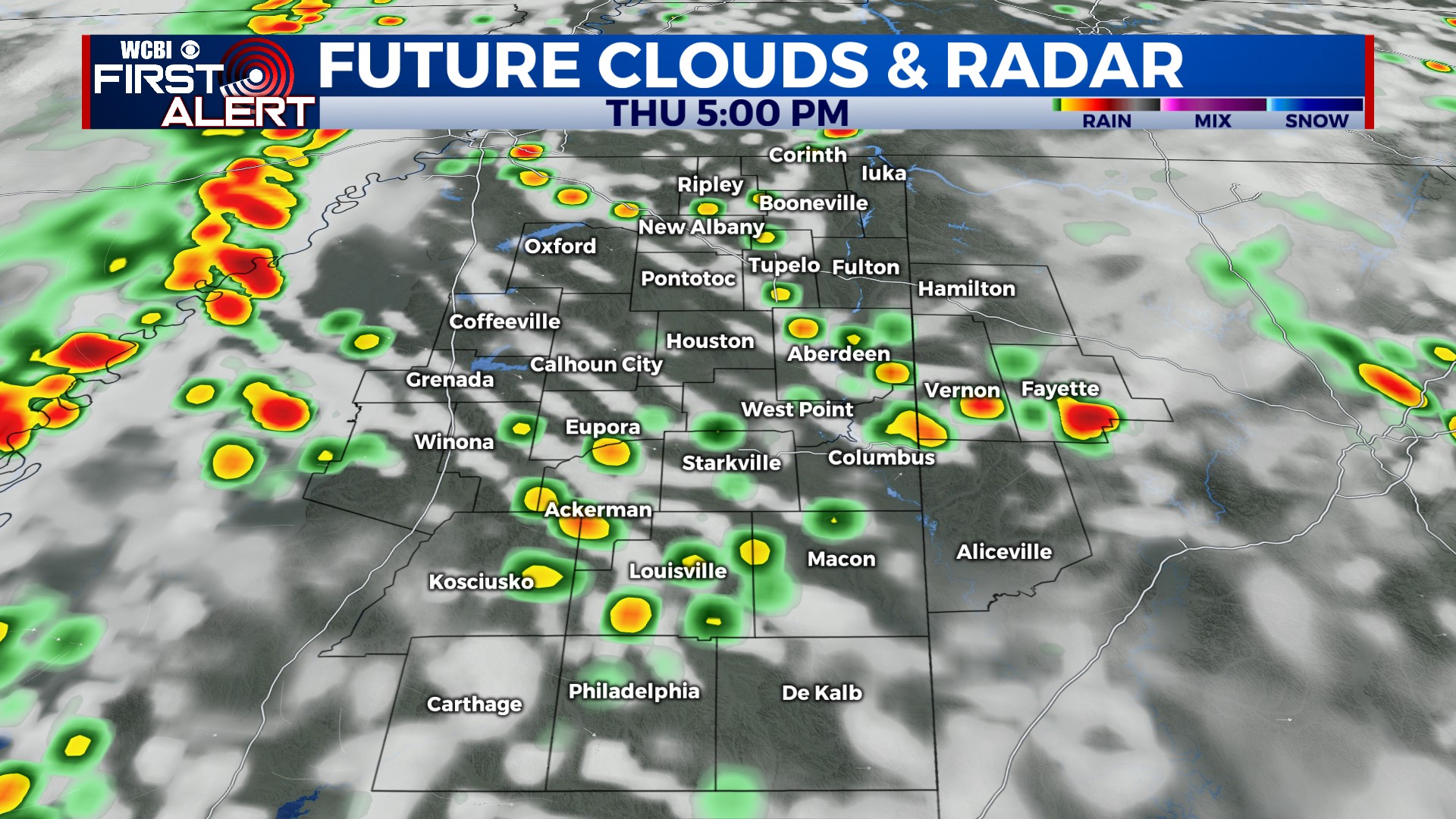
THURSDAY: Variably cloudy and warm with highs in the upper 80s to near 90°. Compared to yesterday, the radar is likely to be a bit busier with scattered storms. The main concerns will be heavy rain and dangerous lightning. Most will weaken after sunset, though a few showers could stick around overnight.
FRIDAY: Expect a mixture of sun and clouds as highs stay in the upper 80s. Scattered storm coverage may be slightly less relative to Thursday.
WEEKEND: A somewhat more active pattern briefly settles into the region. Scattered storms stay likely Saturday afternoon, but some could be locally stronger thanks to increased upper-level support. Same goes for Sunday – storms in the afternoon and early evening could be locally strong with gusty wind the main concern.
NEXT WEEK: The active pattern looks to continue into early next week but should shift slightly south/west of the region. This means the coverage of storms may be lower, and the strongest storms might be focused away from us as well.


