Arctic air continues, warmer by Sunday
COLUMBUS, Mississippi (WCBI) – Well below average temperatures continue through the weekend. Rain chances pick up late Monday of next week.
FRIDAY: Expect a mix of sun and mid to high clouds today with highs holding again in the upper 30s. With brisk north winds, wind chills will be near or below freezing yet again all day long.
FRIDAY NIGHT: The sky will clear out as a Gulf Coast disturbance moves to the east. As this happens, winds will calm and even colder weather is expected. Overnight lows will drop into the upper teens, so remember pipes, people, and pets!
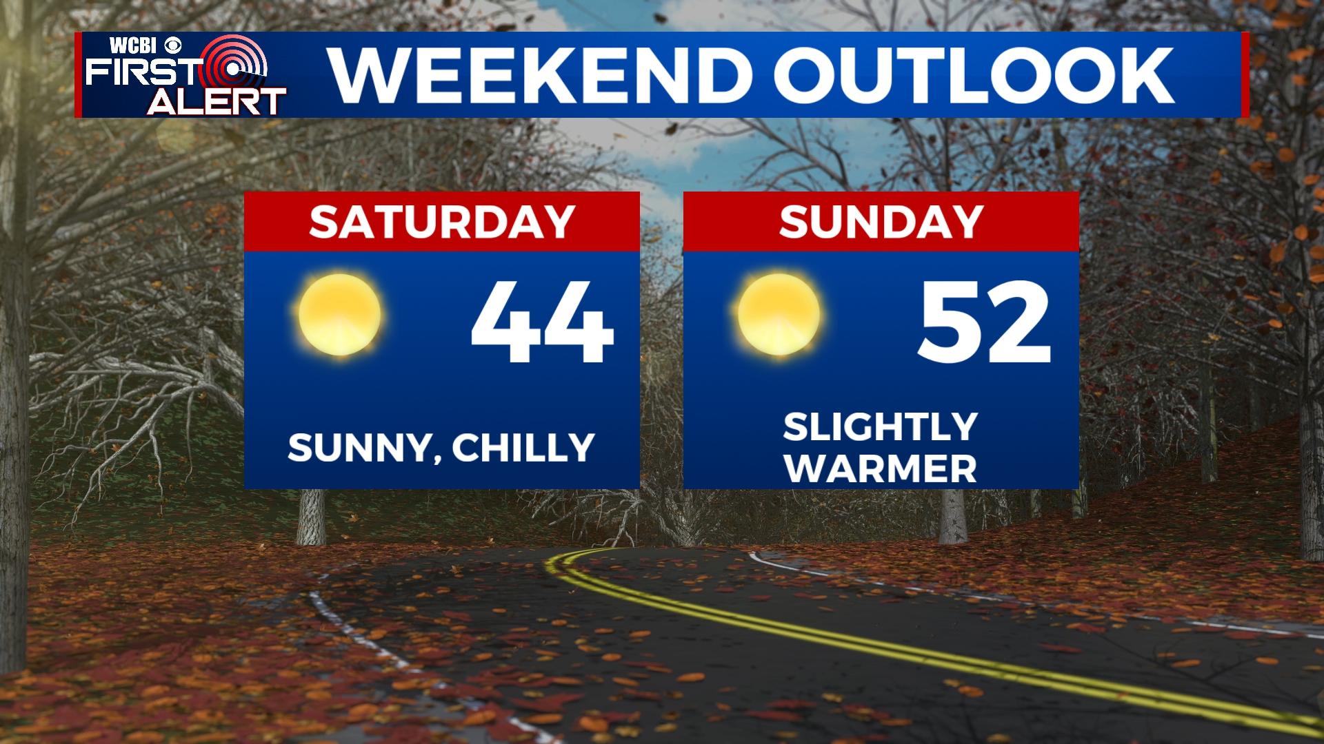
WEEKEND: Gorgeous sunshine is on tap both days, but mornings will remain quite cold. Sunday brings back 50s for highs, so get out and enjoy the day!
MONDAY: Before clouds thicken late in the day, highs will reach the mid to upper 50s. Rain chances increase by evening.
TUESDAY: Another disturbance will move to the south along the Gulf Coast but brings widespread rain to the region through Tuesday morning. Highs will likely hold in the 40s.
MIDWEEK: Slightly below average temperatures are in store as conditions dry out.


Leave a Reply