August begins with isolated showers staying possible
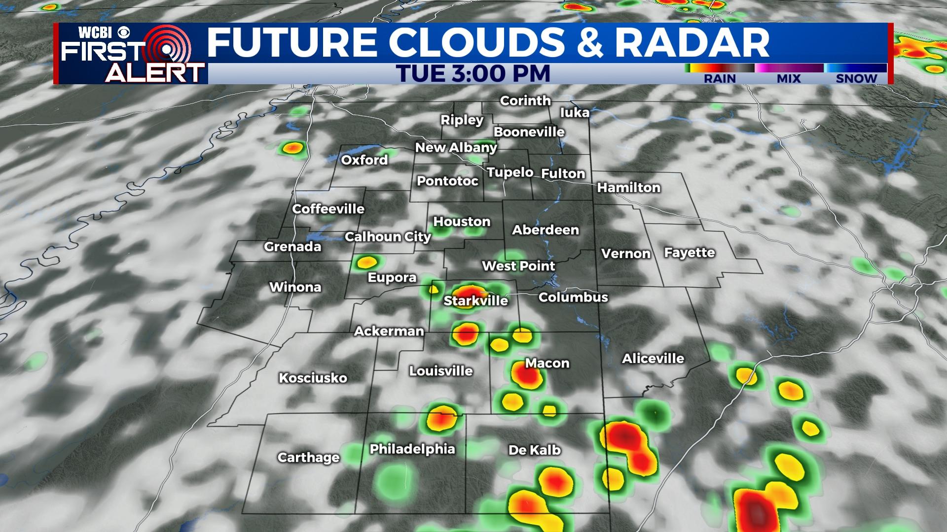
COLUMBUS, Mississippi (WCBI) – After a fairly busy weekend, rain coverage looks to decrease somewhat to start the week. Showers look more likely starting Tuesday.
MONDAY: While showers are possible across northern parts of the region in the morning, an overall less coverage of rain and storms is expected later today. Persistent clouds and departing upper-level energy should yield fewer afternoon storms, though a few still could develop. Highs should top out around 90 degrees with around 30% rain coverage.
TUESDAY/REST OF WEEK: A classic early August pattern looks to take shape. This means pockets of heavy rain will be possible each afternoon with highs between 90-92°. Thankfully, the core of another ridge of high pressure will set up to the north and west, keeping the worst of the heat away.
TROPICAL UPDATE: The tropics in the Atlantic basin remain eerily quiet. No development is expected in the next 5-7 days.


