Beautiful Weekend, Strong Storms Monday
Great fall-like weather continues through the weekend with highs slowly getting back to near 80 by Sunday. Chances for showers and storms increase on Monday as a cold front approaches.
THURSDAY NIGHT: Another chilly night as temperatures fall into the mid 40s by the early morning hours. We’ll have a few passing clouds with light winds out of the north.
FRIDAY: Picture-perfect weather to end the week with tons of sunshine and highs in the low 70s. Winds will begin slowly switching from the north to the east and south, which will help to keep us a little warmer.
SATURDAY-SUNDAY: A tropical storm is expected to impact the Gulf Coast over the weekend, but most of the impacts will remain to the east of our area. We can’t rule out an isolated shower, especially east of Highway 45 and south of Highway 82. Most of us will stay dry and partly cloudy for the weekend with highs in the mid to upper 70s.
MONDAY: A strong cold front will get close to the area on Monday, bringing the potential for showers and storms through the day. A few of these storms could be on the strong to severe side, with heavy rain, gusty winds, and an isolated tornado not out of the question. Scattered storms will begin in the morning hours, with the strongest storms expected in the evening around sunset. Storms should exit the area by 10pm or shortly thereafter.
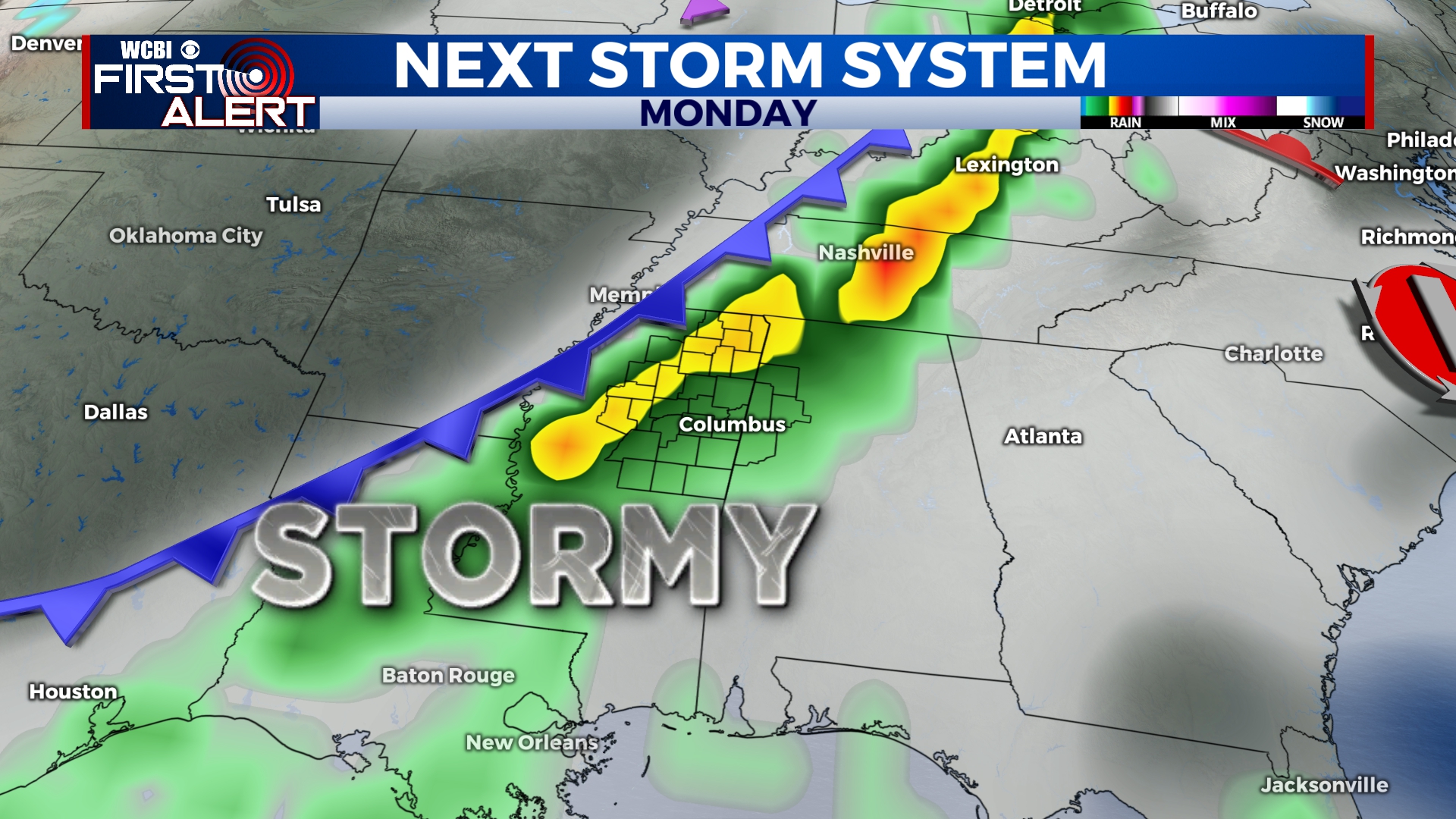
Storms will develop across the area on Monday as a cold front approaches.
TUESDAY-THURSDAY: Cooler air will once again enter the region with highs back into the 60s for the middle of the week. We should stay dry and sunny through at least Thursday, when an isolated shower is possible.


Leave a Reply