Best chance of rain early this week
COLUMBUS, Mississippi (WCBI) – Locally higher rain chances kick off the work week before intense July heat rebuilds across the Southeast.
MONDAY: Morning showers with some locally heavier rain will gradually weaken before lunch. Scattered showers and storms should then redevelop after lunch and persist into the evening hours. A few of these storms could grow severe with gusty wind the primary concern.
MONDAY NIGHT: There’s a chance of heavier rain into the overnight hours across northeast MS and northwest AL. Should slow-moving showers and storms persist, localized flooding is possible.
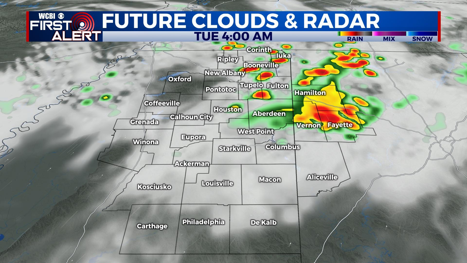
TUESDAY: Overnight showers could persist into the morning hours of Tuesday but should gradually thin out through the rest of the day. Highs should top out in the upper 80s thanks to lingering cloud cover.
REST OF WEEK: Temperatures bounce back into the 90s as rain chances decrease Wednesday. A slightly increased chance for rain could return Thursday and Friday, but the heat and humidity remain.
WEEKEND: Rain chances take a back seat Saturday and Sunday as intense July heat builds. Highs in the upper 90s look likely both days, and there’s a chance triple digit temperatures could occur as well.


