Big warm-up by Wednesday
COLUMBUS, Mississippi (WCBI) – Unseasonably warm air Wednesday will be flanked by seasonable January temperatures.
MONDAY: Expect a good supply of sun much of the day, though high clouds could thicken up by afternoon. Highs will reach the middle 50s – on par for early January!
MONDAY NIGHT: Those high clouds should move out after midnight, leaving a clear sky overnight. Patchy fog is possible as temperatures drop into the 30s, but most spots should stay just above freezing.
TUESDAY: This will be a sunny transition day into a temporarily warmer pattern. Highs will top out in the middle 60s – a gorgeous January day!
WEDNESDAY: Clouds will roll in through the day, but temperatures will still soar into the 70s by afternoon. Though moisture will be increasing, most of the day should be dry.
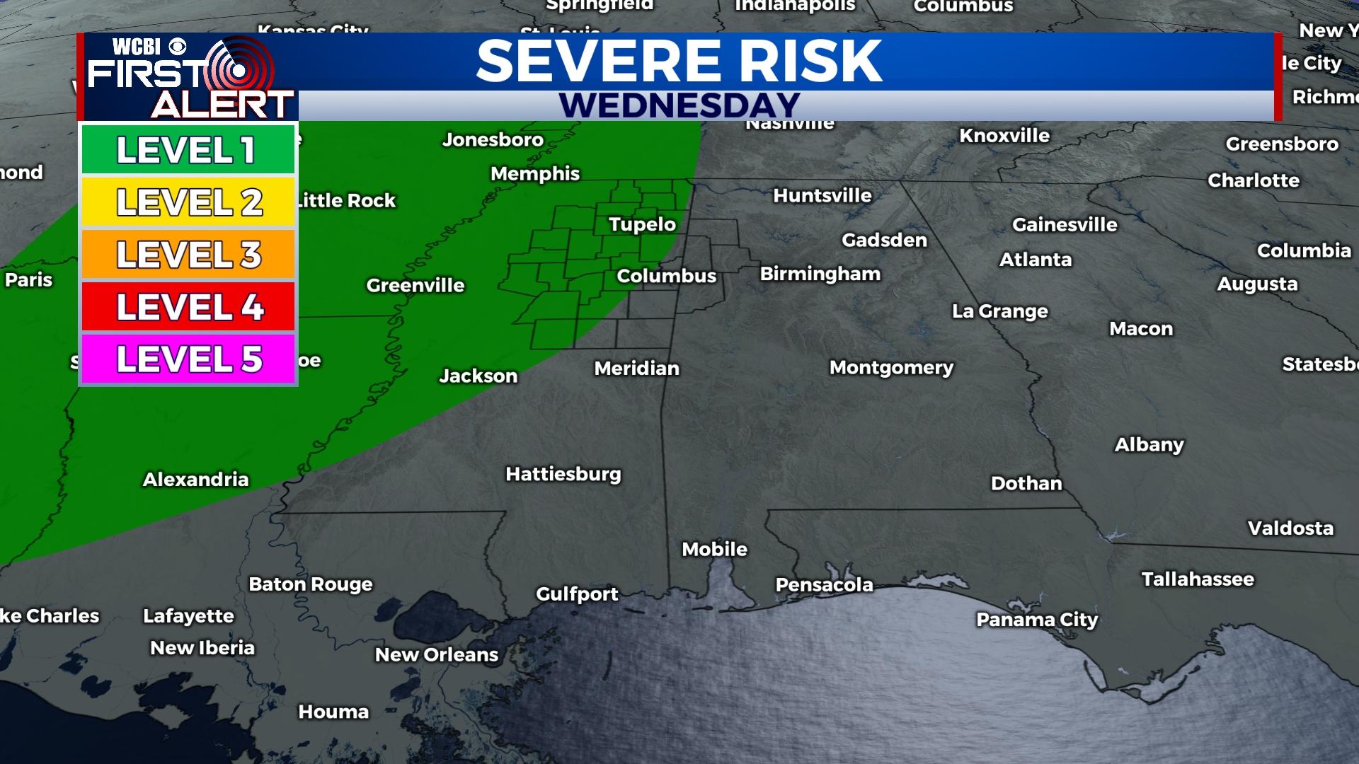
THURSDAY: Showers and embedded storms are likely during the morning as a strong front moves through. While wind shear is strong, the quality & quantity of moisture are not overly impressive. Still, pockets of stronger storm activity are possible with gusty winds the primary concern.
FRIDAY/WEEKEND: Sunny and chilly weather will be the story! Highs may stay in the 40s Friday but should gradually increase into the 50s over the weekend.