Borderline hot next couple days, cooler Friday
COLUMBUS, Mississippi (WCBI) – February heat levels remain quite high through mid-week. Some cooler air will arrive Friday.
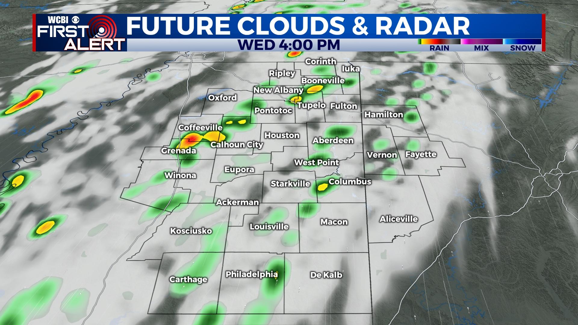
WEDNESDAY: Expect a variably cloudy day with highs in the lower 80s and gusty south winds. A wind advisory is in effect for much of the region as wind gusts exceeding 30-35 mph are possible in some areas. While some scattered showers are possible in the afternoon, no severe weather is expected at this time.
THURSDAY: The weather stays warm to hot as highs remain in the 80s ahead of a weakening/stalling front. A few showers or storms may form Thursday night as the front begins to stall. Overnight lows will stay in the 60s.
FRIDAY: A cloudy sky will remain as scattered to potentially widespread showers form to the north/cool side of the front. This front is expected to slide slowly southward, bringing cooler air to most of the region. Afternoon temperatures will likely sit in the 50s.
WEEKEND: Said front will begin retreating northward as a warm front. This will translate to isolated rain chances and a mostly cloudy sky both days. Highs will top out near 70 degrees Saturday and into the mid/upper 70s Sunday.
NEXT WEEK: Another Pacific cold front will push through Monday, bringing a good chance of showers and potential storms to the region. At this point, poor moisture return and warm air aloft will prevent any major concerns for severe weather.


