Cloudy, rainy and cooler for Wednesday
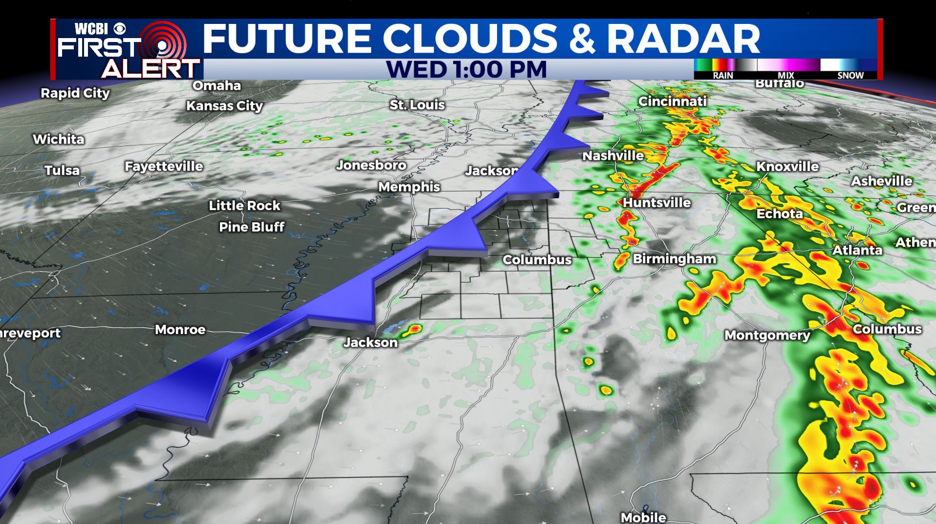
SUMMARY: Waking up to showers and a few storms this Wednesday morning as a cold front will push through later on today. The rest of the week into the weekend will feature sunny skies and drier weather. The 80s will make a comeback by the weekend. We’ll see the return of some storm chances early next week.
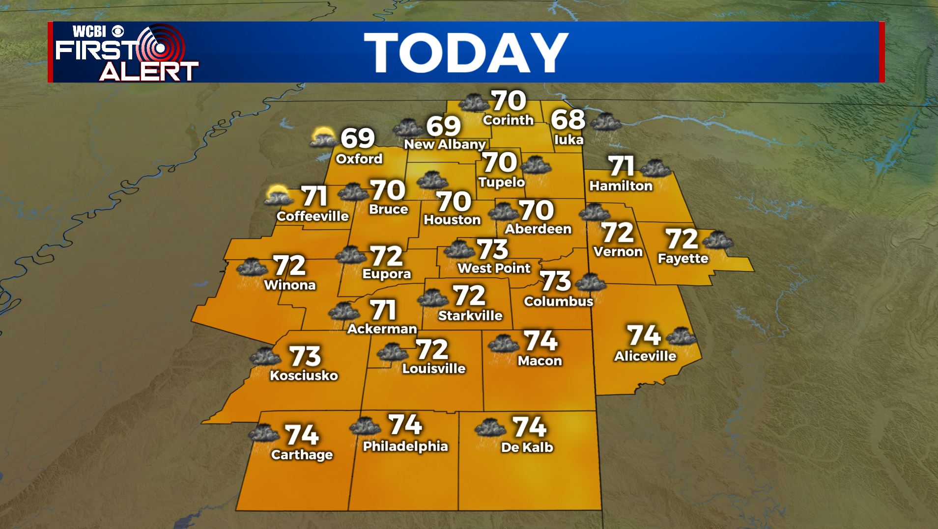
WEDNESDAY: A line of rain and storms are pushing through the WCBI Viewing Area this morning. Storms had some heavy rainfall, small hail and gusty winds as they pushed into our western counties, but have been weakening as we are in a more stable airmass. We’ll continue to see some showers & cloudy skies through the afternoon as our cold front continues to push through the region before we finally clear out by Wednesday evening. Afternoon highs will be in the lower to mid 70s as our winds switch up from the SW to NW 10-20, gusts up to 25 mph behind the cold front.
WEDNESDAY NIGHT: Clear skies and quiet. Lows near 50.
THURSDAY NIGHT: Mainly clear, quiet, and cool. Lows in the upper 40s to lower 50s.
FRIDAY: Sunny skies and just about picture perfect. Highs in mid to upper 70s.
THE WEEKEND: Temperatures will steadily increase this upcoming weekend with afternoon highs into the mid and possibly upper 80s. Staying dry with lots of sunshine and a few clouds.
MONDAY-TUESDAY: We could see the return of some scattered showers and storms as we start a new week with a mix of sun & clouds. Highs remain warm in the 80s.
Stay connected with @WCBIWEATHER on Facebook, Twitter, Instagram, and the WCBI News App


Leave a Reply