Cold front set to push through on Sunday evening
SUMMARY: A cold front will move through our region Sunday evening into the overnight hours, giving us a chance of showers and storms. A few scattered showers are expected for your Labor Day Monday. An isolated shower or storm is possible both Tuesday and Wednesday. Another cold front will push through the area late week, making it feel a bit more like fall for the end of the workweek into next weekend. Stay tuned!

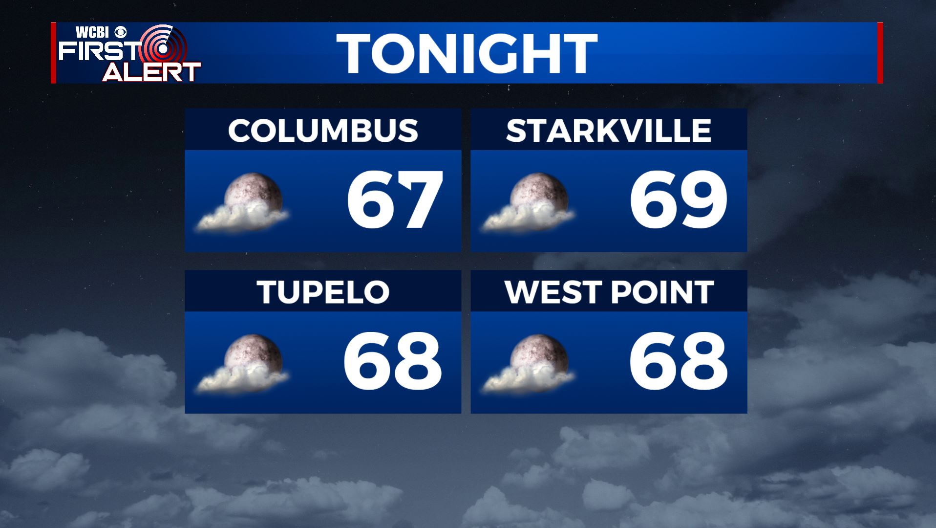
SATURDAY NIGHT: A refreshing night once again for us. Expect mostly clear to partly cloudy skies for the rest of the night. Overnight lows in the upper 60s. SW light winds.
SUNDAY: Warmer and a bit humid for our Sunday with highs in the upper 80s to near 90 degrees. Clouds will be increasing most of the day. A few late day storms are possible as the cold front nears us. South winds 5-10 mph.
SUNDAY NIGHT: Cloudy skies with more widespread showers and storms move into the area Sunday night as a cold front pushes through. Muggy and mild, with overnight lows near 70 degrees.

LABOR DAY: A few lingering showers and storms throughout the day. Slightly cooler temperatures behind the front in the mid 80s.
NEXT WEEK: Isolated storm chances Tuesday into Wednesday with a mix of sun and clouds. Highs will slightly warm back up into the upper 80s to near 90 degrees. A cold front will pass through the region Thursday. Expect sunshine and much cooler temperatures with highs in the lower to mid 80s. Overnight lows in the upper 50s to lower 60s.