Cold, sunny Wednesday ahead of showery Thursday
COLUMBUS, Mississippi (WCBI) – After a frigid start, temperatures may briefly reach above freezing Wednesday. Showers move through Thursday, then more bitter cold arrives for the weekend.
WEDNESDAY: After temperatures in the single digits in the morning, we’ll recover slowly above freezing for a few hours by afternoon under full sun. Some spots north of Tupelo will likely stay below freezing due to residual sleet/snow covered ground.
WEDNESDAY NIGHT: Temperatures will quickly drop back into the teens, but with slight south winds overnight, no single digits are expected. Clouds will also move in late, limiting max radiational cooling.
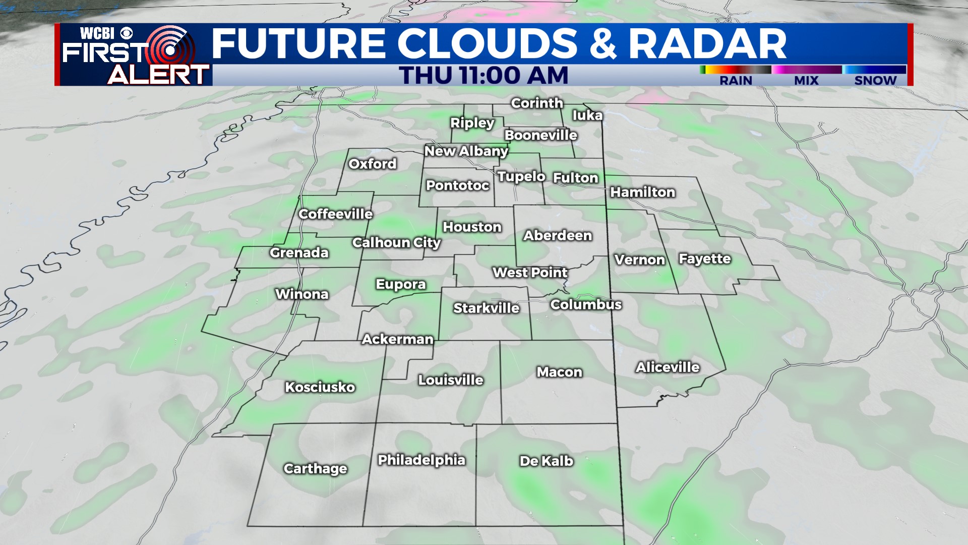
THURSDAY: Hi-res models continue to show a brief period of freezing drizzle occurring during the morning, particularly along/north of US 82 into Tennessee. This is not expected to cause impacts for most, though we’ll need to watch for potential impacts in our far northern counties. Showers are more likely the rest of the day with highs in the upper 30s to low 40s.
FRIDAY: Patchy black ice is possible area-wide as temperatures dip below freezing yet again. Some clearing happens Friday, but highs will struggle to get above freezing.
WEEKEND: More FRIGID air! Low temperatures Friday night will drop into the low 10s. Afternoon highs Saturday will only reach the 20s despite full sun, and another bone-chilling night is in store as lows drop to the upper single digits to low 10s.
NEXT WEEK: The great thaw begins. Highs will be near 50° and 60° Tuesday with increased rain chances Tuesday afternoon.