Colder air moves in to end the week
COLUMBUS, Mississippi (WCBI) – Following Wednesday night’s front, temperatures will drop quite a bit over the next couple days.
WEDNESDAY NIGHT: Clouds early should clear up late in the night, allowing temperatures to drop to near or just below freezing yet again.
THURSDAY: The day may start mostly clear, but clouds will fill back in by afternoon ahead of a slow-moving upper-air low. Highs will likely hold in the upper 40s for most. There will be scattered showers late in the day into the evening, generated in part by very cold air aloft creating some a little instability.
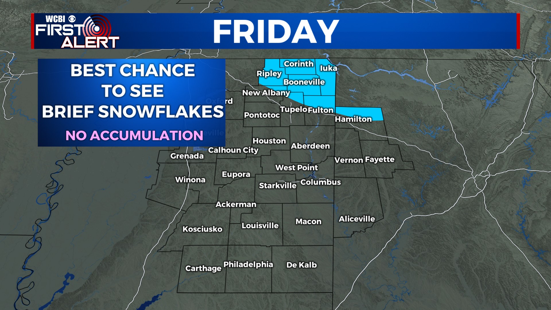
FRIDAY: Expect a mostly cloudy and chilly day with highs staying in the 40s. Once again, isolated showers are possible…potentially mixing with brief snowflakes in far northern or northeastern parts of the state. The best chance of light snow accumulation will be across parts of middle TN into the higher elevations of northern AL.
WEEKEND: The last one of 2023! Clouds clear up Saturday, leaving a good portion of the day into Sunday nice & sunny. Highs Saturday will hold in the 50s, but Sunday could bring 60 degrees!
NEXT WEEK: Isolated showers are possible Monday followed by another surge of colder air by next Tue/Wed.


