Comfortable Saturday night, hit or miss storms Sunday afternoon
COLUMBUS, Mississippi (WCBI) – You guessed it! Afternoon thunderstorms are in the forecast once again! On the other hand, next week is looking drier.
SATURDAY NIGHT: Partly cloudy skies. Mild and humid. Low near 66 degrees. A stray shower is possible, but unlikely. Chance of rain: 20%.
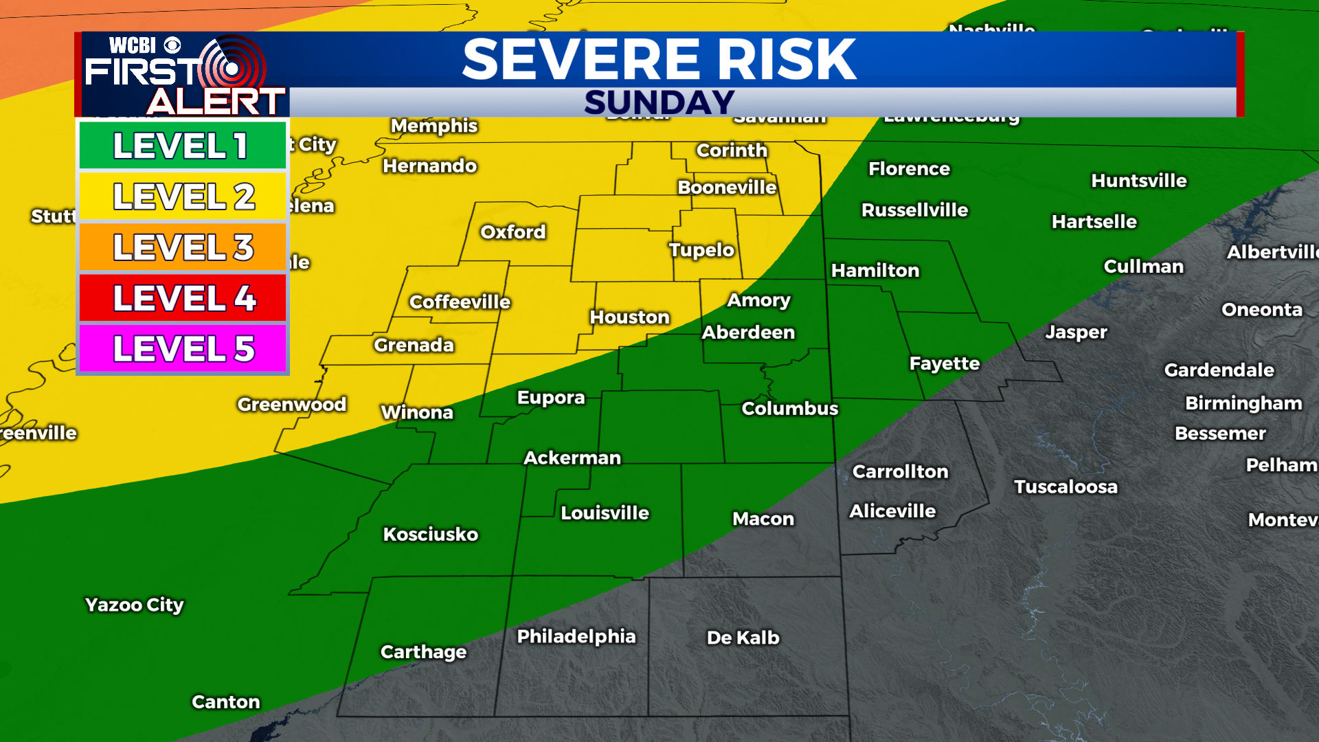
SUNDAY: Mostly sunny skies aside from a few afternoon and evening thunderstorms. Some will get rain, some won’t. Another round of weakening thunderstorms may also move through during the overnight hours. Heavy rain, gusty winds, and small hail will be possible in the strongest storms. There is a slight risk (level 2 out of 5) for severe weather, but this will not be a widespread event. Overall, the threat level is low, but not 0.
SUNDAY NIGHT: A few showers and storms may linger after midnight. Otherwise, partly cloudy skies and lows in the upper 60s. Low near 67 degrees.
NEXT WEEK: Hotter and drier. Things are looking sunny for the most part with a warming trend starting Tuesday. Highs Monday and Tuesday will be in the mid to upper 80s. After that, we crank afternoon highs into the 90s. Get ready! Have a great rest of your weekend!