Continuing to Track Storms
COLUMBUS, Mississippi (WCBI) – We are continuing to track a line of storms ahead of a cold front that will soon pass. Severe storms remain possible through the overnight hours tonight.

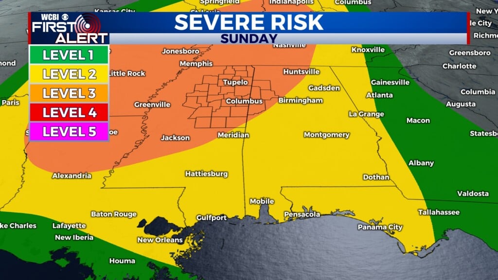
SATURDAY NIGHT: A cluster of storms will continue to push into our area. At this time, we expect our western counties to be impacted starting around 8pm. The overall timing is still a little uncertain, but this system looks to clear our eastern counties by 5am. Strong, damaging winds are the main concern with any severe thunderstorms that develop. We cannot rule out an isolated tornado at this time, though. The entire WCBI viewing area remains under a 2/5 risk for severe weather. Have your severe weather plan in place, and be prepared to take action if a warning is issued for your area. Be sure to have multiple ways to receive weather alerts, and turn your phone ringer on before you head to bed! Stay with WCBI for updates – we’ll be tracking these storms until they leave our area.
SUNDAY: After this system leaves our area, we’ll see much calmer weather! The cold front will bring cooler temperatures, with highs in the mid-70’s. Fall has arrived!
MONDAY: We look to stay dry on Monday, and we’re going to be keeping those fall-like temperatures around. High temperatures on Monday will again be in the mid-70’s.