Dangerous heat continues this week
COLUMBUS, Mississippi (WCBI) – Temperatures will gradually trend upward this week, reaching the triple digit mark by Thursday and Friday.
MONDAY: While Sunday night’s storms are out, the heat stress concerns will stick around. Highs top out in the 90s area-wide, but for areas along and south of US 82, the heat index could once again exceed 105° later today.
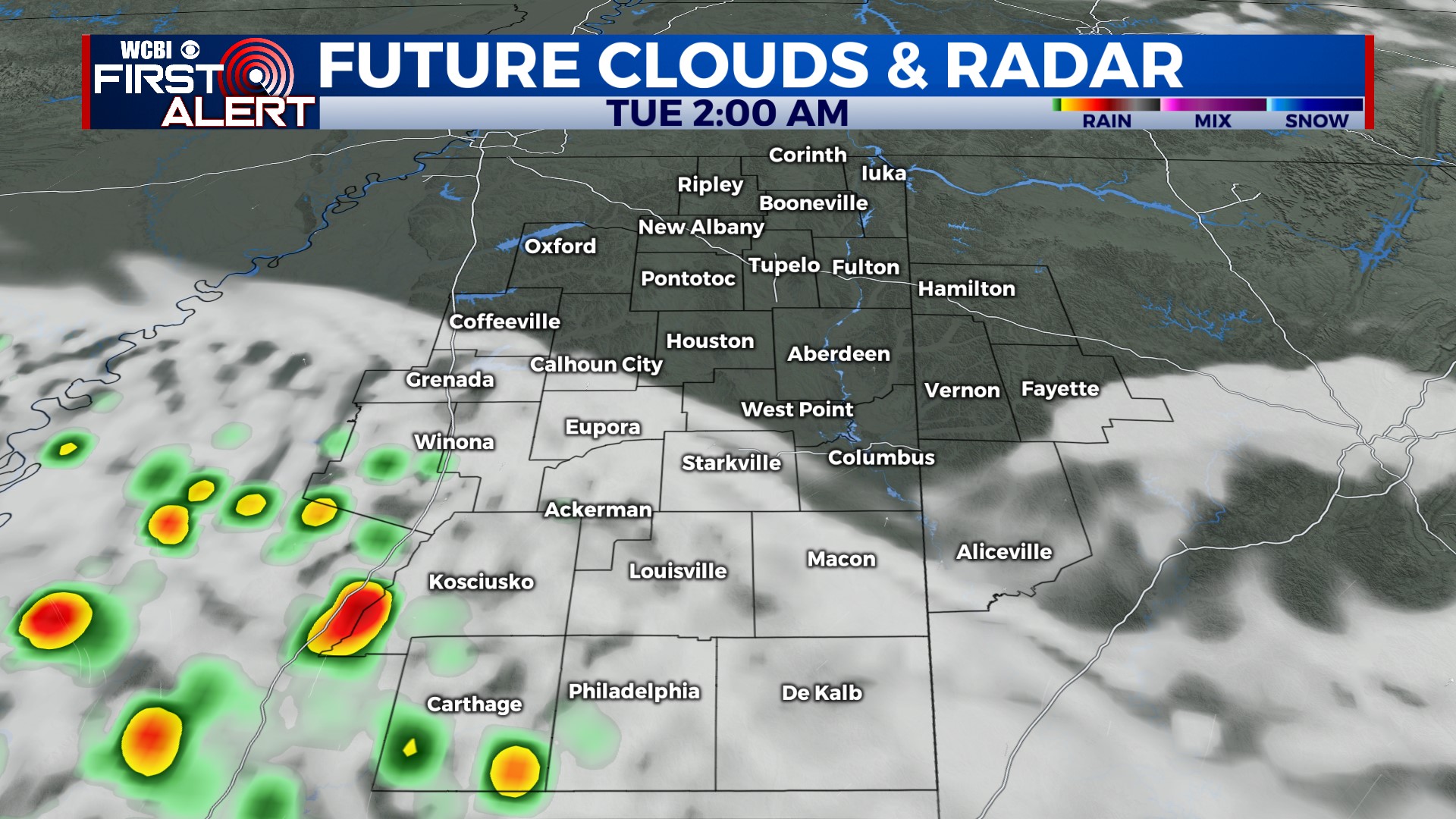
MONDAY NIGHT: A few showers or storms could sneak into our far western or southern counties, but most places should stay dry, warm, and quite humid.
TUESDAY: More of the same – the southern half of the region will again face dangerous heat indices over 105 degrees.
WEDNESDAY: As a stronger ridge of high pressure noses in from the west, another complex of storms is possible to slide in from the northwest. While timing is still uncertain, there is a consistent signal in our forecast models of this occurring…so stay tuned!
THU/FRI: This stretch still looks to be the most intense with the heat. Expect plenty of sun, no rain, and highs to reach near 100 degrees. Heat indices may get close to or exceed 110° as well – just brutal!


