December begins with well above average temperatures
COLUMBUS, Mississippi (WCBI) – SUMMARY: It will feel more like early spring through the weekend ahead of a cold front late Sunday.
WEDNESDAY: Expect a mix of sun and clouds through the day as a weak disturbance passes through. Still, highs today will reach the lower 70s…well above the average high of 60 degrees.

THURSDAY/FRIDAY: Unseasonably warm air continues across the region. Expect a good supply of sun both days with highs in the mid to upper 70s, nearing records Thursday.
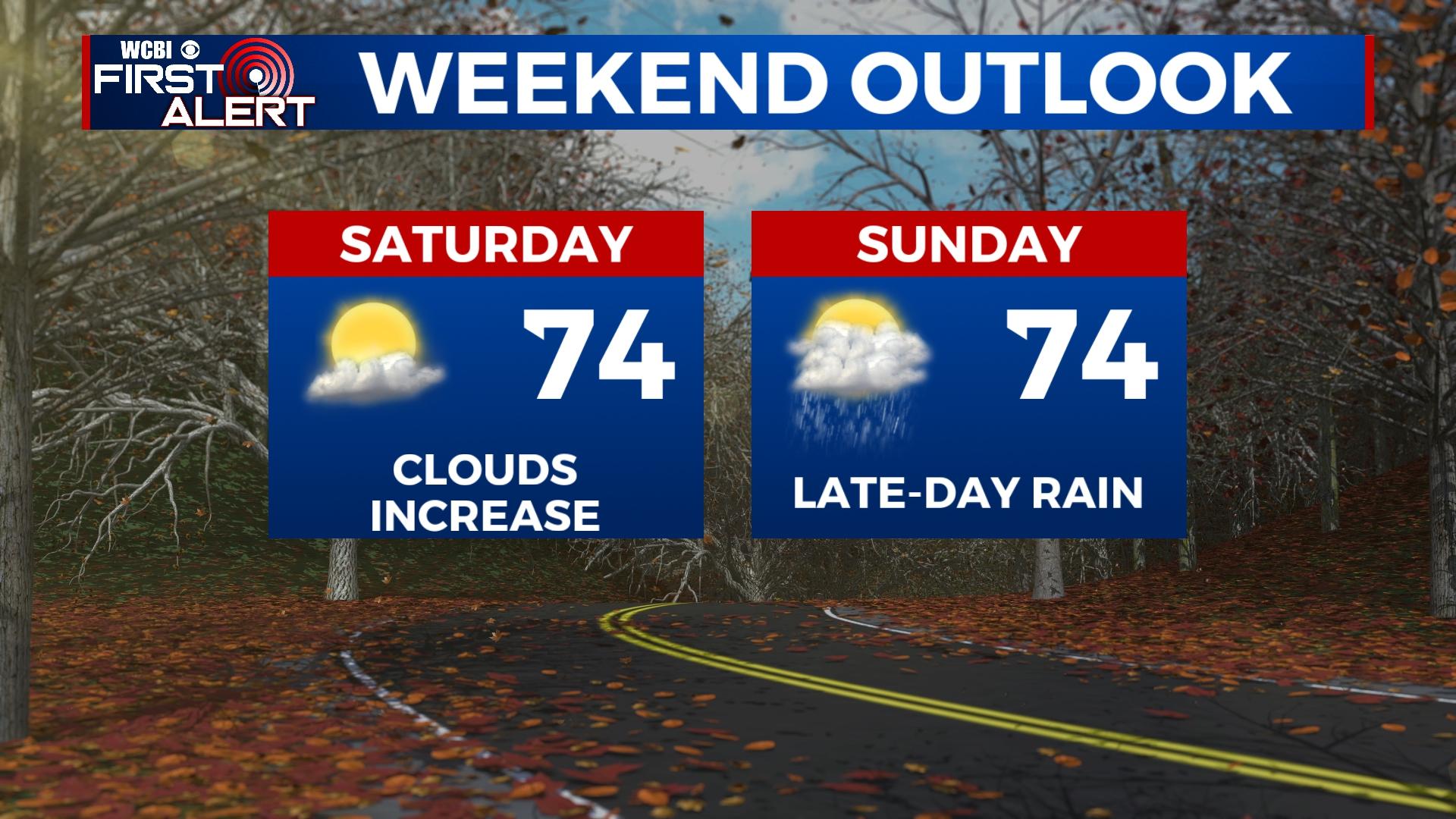
WEEKEND: Increasingly humid air will overspread the area as warm air stays in place. Clouds will be more prevalent Saturday, but the day should stay dry. Sunday should start dry as well, but the slow approach of a front signals increasing rain chances by evening. Highs both days will be in the mid 70s.
NEXT WEEK: The front will clear early Monday, but clouds will be slow to depart as it does so. Highs are likely to stay in the 50s as a result, and another chilly night is on tap Monday night with lows in the upper 30s. However, medium range guidance remains in decent agreement on a quick recovery by Tuesday and Wednesday as yet another system organizes to the west.


